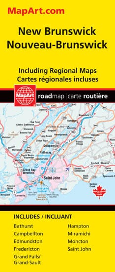
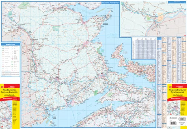
The New Brunswick Folded Provincial Map includes a 1:600,000 scale provincial map of New Brunswick, along with a place name index and legend. It also includes municipal maps of Bathurst (1:100,000), Campbellton (1:100,000), Edmundston (1:50,000), Fredericton (1:46,300), Grand Falls / Grand-Sault (1:50,000), Hampton (1:50,000), Miramichi (1:100,000), Moncton (1:50,000) and Saint John (1:50,000), a distance map and ferry information.
Provincial map features include the Trans-Canada Highway, divided highways, toll highways, paved primary highways, paved secondary highways, unpaved secondary highways, other paved and unpaved roads, unimproved roads, interchanges and exits, distance between points (km), ferries, berths border crossings, airports, hospitals, tourist information centers, populations, national parks/historic sites, provincial parks, nature reserves, campgrounds and downhill ski slopes.
ISBN/EAN : 9781554862689
Publication date: 2023
Folded dimensions: 9.45 x 3.94 inch / 24 x 10cm
Unfolded dimensions: 26.38 x 32.28 inches / 67 x 82cm
Language(s): English
Weight:
60 g


