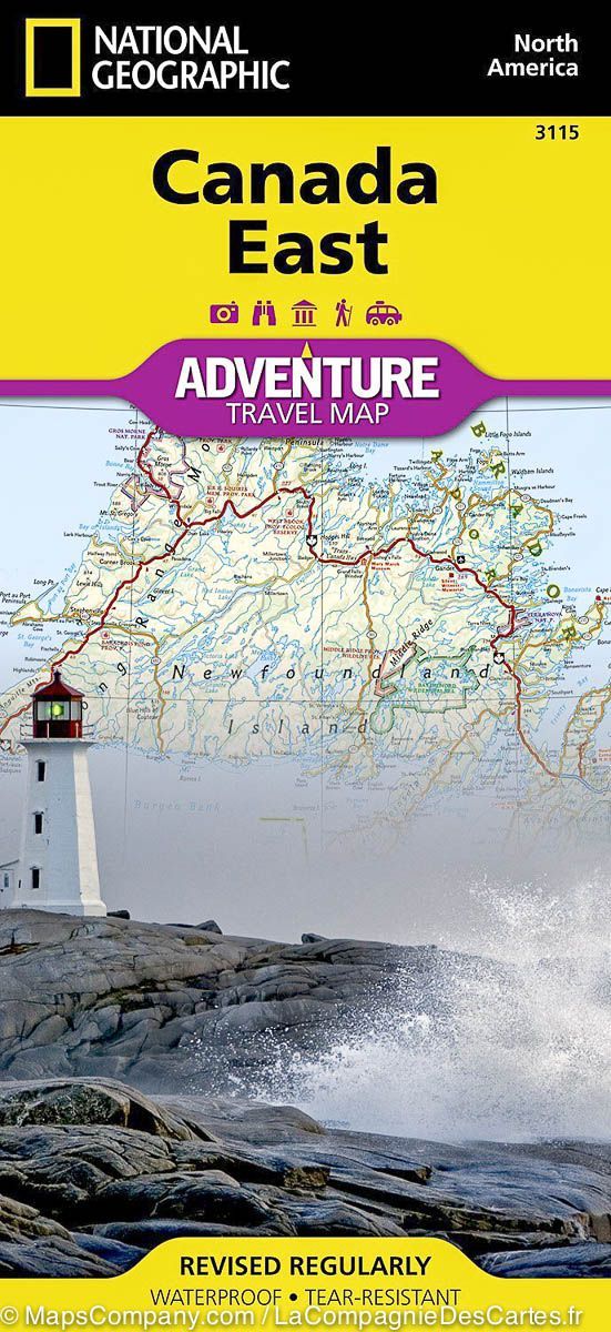
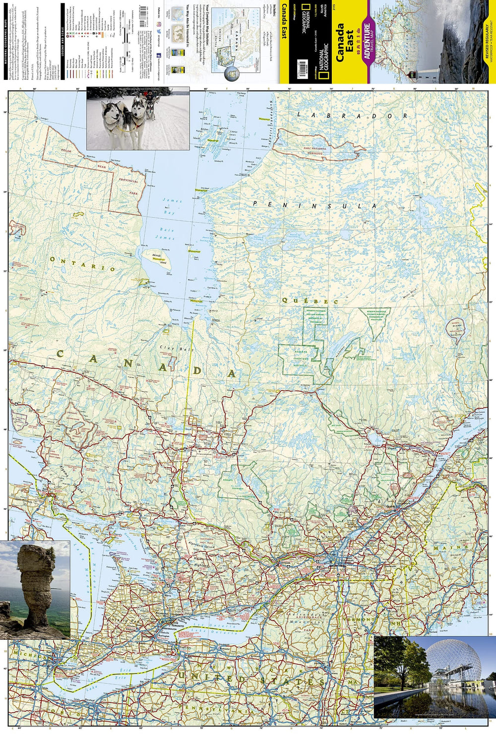
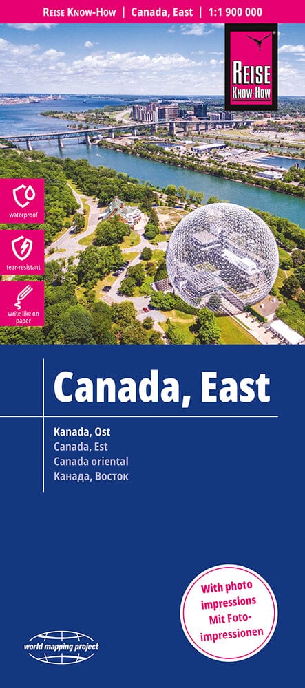
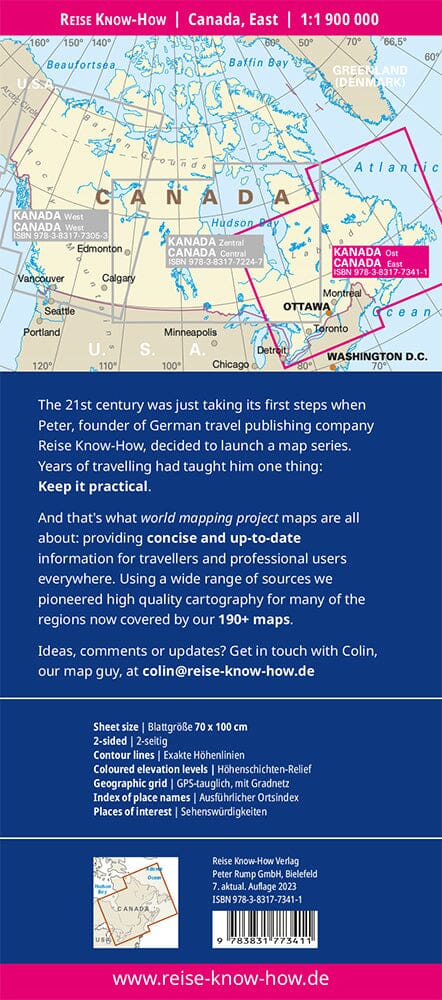
Waterproof Travel Map - Atlantic Canada | ITM

Price
Regular price $16.00
Regular price Sale price $16.00
Save $-16
/
  • Shipping within 24 working hours from our warehouse in France
  • Delivery costs calculated instantly in the basket
  • Free returns (*)
  • Real-time inventory
  • In stock, ready to ship
  • Backordered, shipping soon
Tax included.

Often purchased together:

Road Map – Maritime Provinces of Canada & Newfoundland and Labrador

Variable scale – Waterproof paper

Side 1:

It covers the provinces of Nova Scotia , New Brunswick , Prince Edward Island , and the Magdalen Islands (Quebec), at a scale of 1:800,000 . This side also presents the Top 10 tourist attractions in these three provinces.

Side 2:

Entirely dedicated to the Canadian province of Newfoundland and Labrador :

  • The island of Newfoundland is shown in an insert at a scale of 1:150,000 (half page)

  • The mainland of Labrador is mapped at a scale of 1:1,700,000

  • The map also shows the extreme north of Quebec/Labrador, belonging to Nunavut

Also included:

  • Saint Pierre and Miquelon , a French overseas collectivity located just south of Newfoundland

  • City Map : The map includes a city inset of historic St. John's , one of the oldest cities in North America

  • Top 9 Attractions in Newfoundland and Labrador

An ideal tool:

This map combines four fascinating regions of Canada on a single sheet, perfect for travelers looking to take a grand circular tour of the Atlantic provinces.

Printed on durable, waterproof and biodegradable stone paper .


ISBN/EAN : 9781771290425
Publication date: 2025
Scale: Various scales
Printed sides: both sides
Folded dimensions: 24.6 x 10.3 x 0.5cm
Unfolded dimensions: 100 x 69cm
Language(s): English
Weight: 106 g

Customer Reviews

Be the first to write a review
0%
(0)
0%
(0)
0%
(0)
0%
(0)
0%
(0)