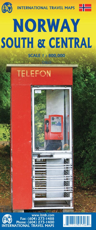
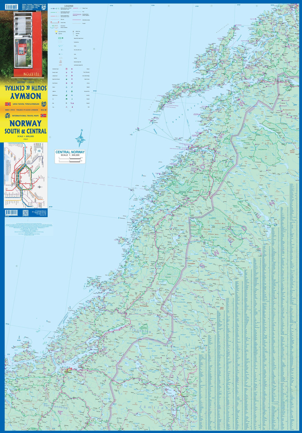
This map starts in Narvik and moves south through Bodo to just south of Trondheim on the front, showing all roads and emphasizing the excellent rail links. A small part of neighboring Sweden is also shown.
The back focuses on Norway's southern "bulge," extending south of the country to the border with Sweden and west to the North Atlantic.
A large inset map of Oslo, the capital, is included, along with a list of major attractions. Road and rail links are shown.
The numerous tunnels are also marked, along with tourist attractions and a selection of campsites. Longer hiking trails and cross-country skiing routes are also included. Norway's famous coastal ferry routes are also included, which is a great way to see the coastline between Stavanger and Bergen.
ISBN/EAN : 9781771295796
Publication date: 2023
Scale: 1/13,000 & 1/12,000 & 1/800,000 (1cm=8km)
Printed sides: both sides
Folded dimensions: 24.6 x 10.3 x 0.5cm
Unfolded dimensions: 100 x 69cm
Language(s): English
Weight:
80 g


