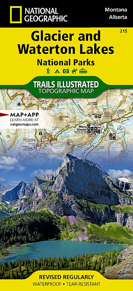
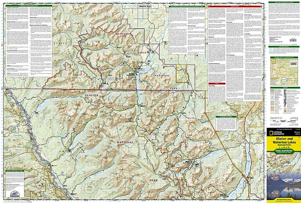
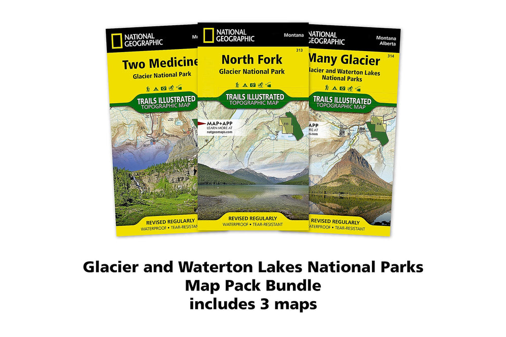
Topographic map of Glacier National Park, Montana, and Waterton Lakes National Park, Alberta. Map published by National Geographic. 100 - foot spaced curves, indication of trekking paths, places of accommodation (campsites), bases of range.
Detailed waterproof and tearing resistant.
ISBN/EAN : 9781566953184
Publication date: 2021
Scale: 1/100,000 (1cm=1km)
Printed sides: both sides
Folded dimensions: 23.5 x 10.9cm
Unfolded dimensions: 95x65cm
Language(s): English
Weight:
89 g


