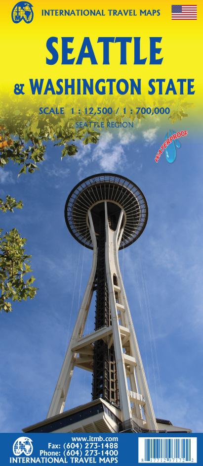
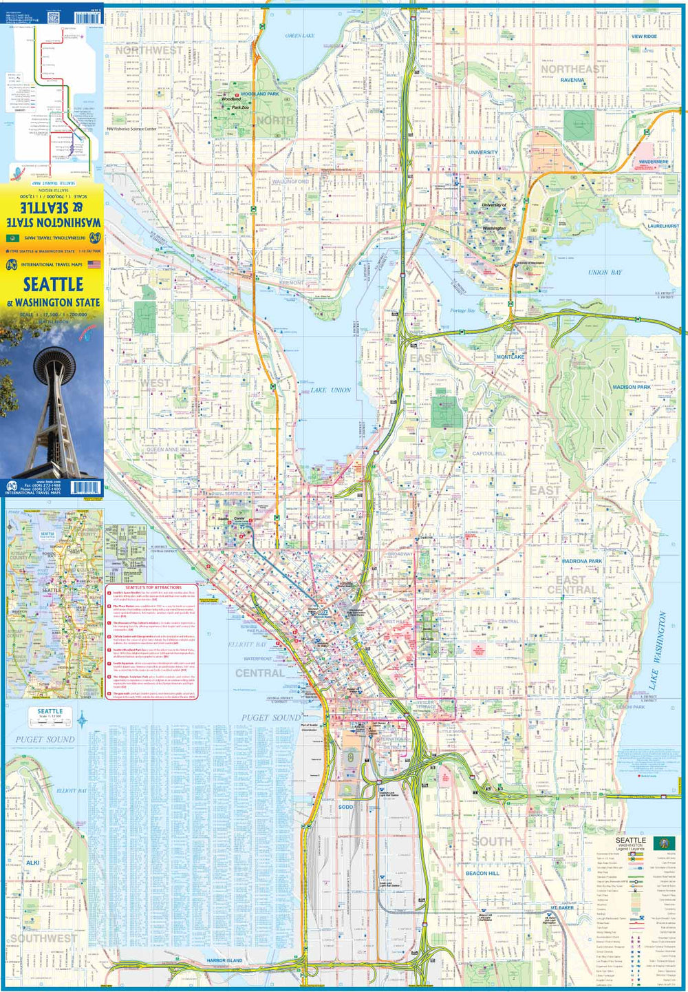
Washington state road map on the front and plan of Seattle on the back. The map coverage also includes Portland and Northern Oregon, Vancouver and the border area with the United States. A small part of Idaho is also represented.
The front of the map shows all the roads in the state of Washington, the Olympic and Baker parks, state parks, tourist sites, beaches, itineraries ferry, indigenous reserves, highways
Campsites in nature, parks such as Rainier, Olympic and Baker, are indicated.
On the back, Seattle's plan covers an area well beyond the city's boundaries and extends from Everett to Tacoma. The map covers university north at Beacon Hill district south and waterfront at Washington Lake.
An inset map of the large area of Seattle is included. The rapid transit line is also included.
This map is waterproof and resistant to tearing.
ISBN/EAN : 9781771297172
Publication date: 2020
Scale: 1/700,000 (1 cm = 7 km) & 1/12,500 (1 cm = 125 m)
Printed sides: both sides
Folded dimensions: 24.6 x 10.3 x 0.5cm
Unfolded dimensions: 100 x 69cm
Language(s): English
Weight:
70 g


