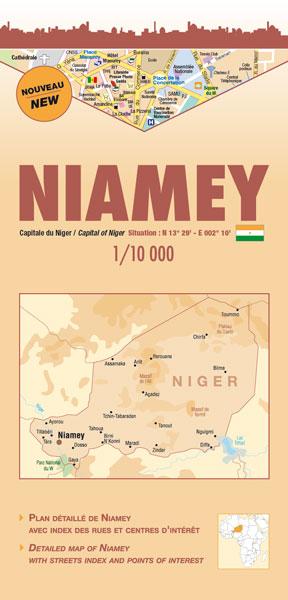
City map - Niamey | Laure Kane

Price
Regular price $12.00
Regular price Sale price $12.00
Save $-12
/
  • Shipping within 24 working hours from our warehouse in France
  • Delivery costs calculated instantly in the basket
  • Free returns (*)
  • Real-time inventory
  • In stock, ready to ship
  • Backordered, shipping soon
Tax included.

Often purchased together:

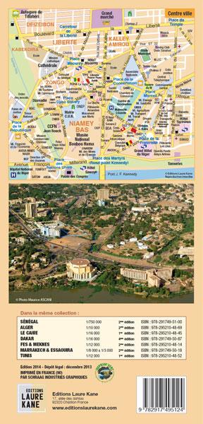
Multilingual city map (French, English) with a street index and points of interest.
With an area of ​​approximately 255 km2, the city of Niamey is built on two trays overlooking the Niger River, 218 m altitude. It is divided in two by the river and has 5 municipalities. In 2006, the population is estimated at about 1,200,000. The climate is of the Sahelian type with a rainfall ranging from 500 to 750 mm a year. Rains period: from June to September.
- Index of the main streets
- Index of the main embassies - Index of major interest centers (places, hospitals, post offices, markets, museums, service stations, hotels, etc.)
+ Zoom on the city center


ISBN/EAN : 9782917495124
Publication date: 2014
Scale: 1/10,000 (1cm=100m)
Printed sides: front
Folded dimensions: 12 x 25cm
Unfolded dimensions: 96cm x 50cm
Language(s): French English
Weight: 80 g

Customer Reviews

No reviews yet
0%
(0)
0%
(0)
0%
(0)
0%
(0)
0%
(0)
More from Niger
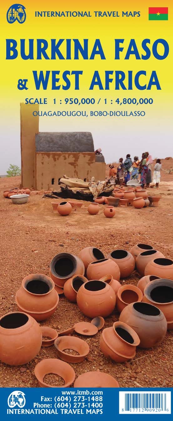
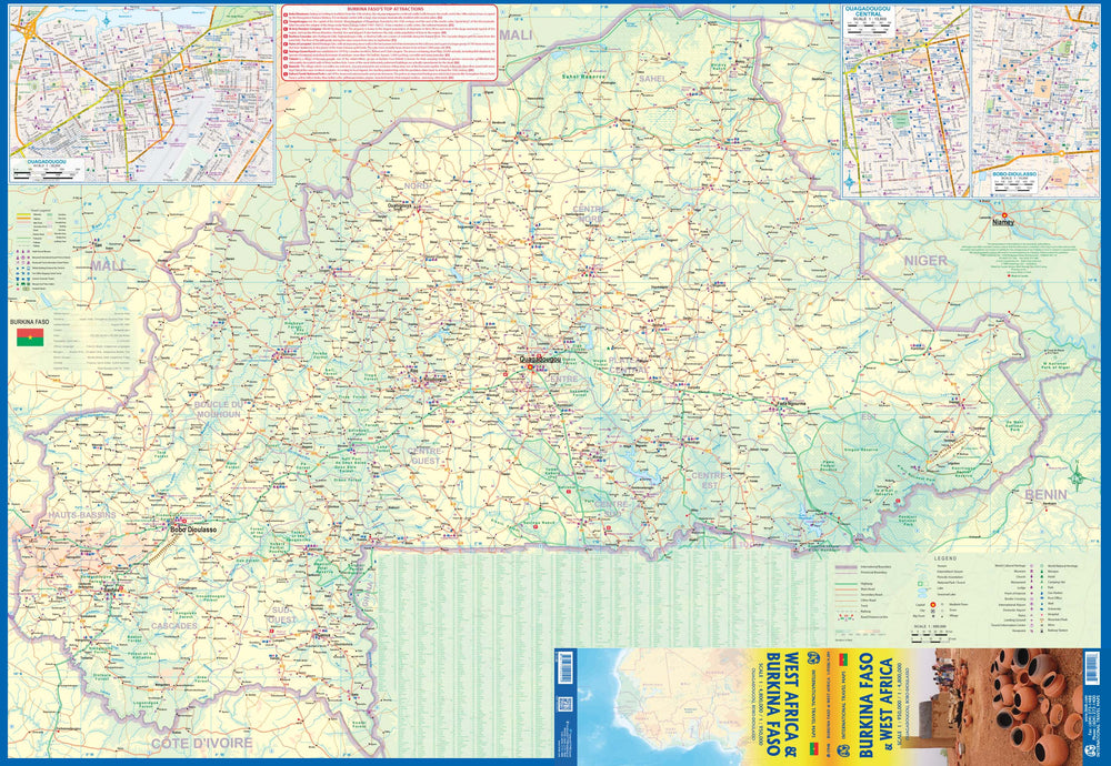
Carte de voyage - Burkina Faso & Afrique de l'Ouest | ITM carte pliée ITM
Travel Map - Burkina Faso & West Africa | ITM
ITM
$14.00
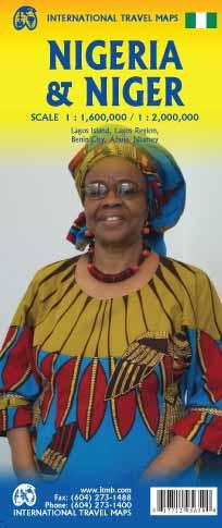
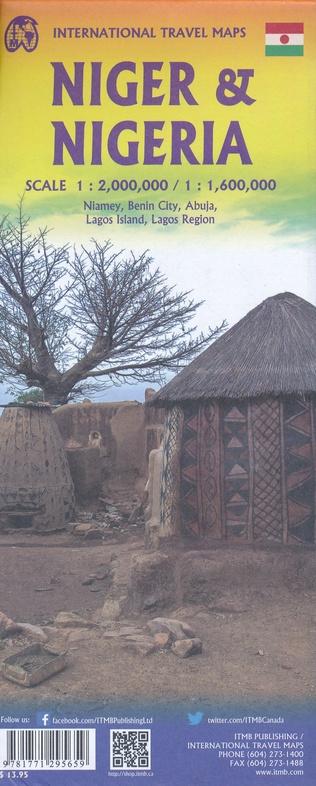
Carte de voyage - Nigeria et Niger | ITM carte pliée ITM
Travel map - Nigeria and Niger | ITM
ITM
$14.00
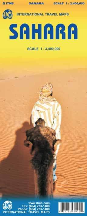
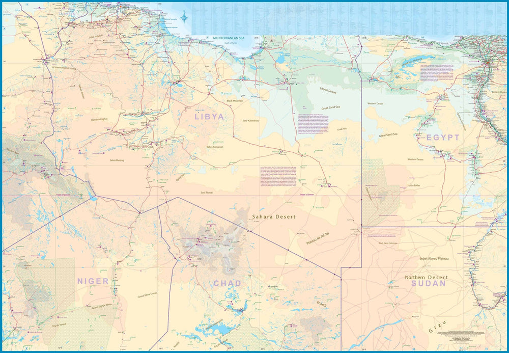
Carte de voyage - Sahara | ITM carte pliée ITM
Travel map - Sahara | ITM
ITM
$14.00