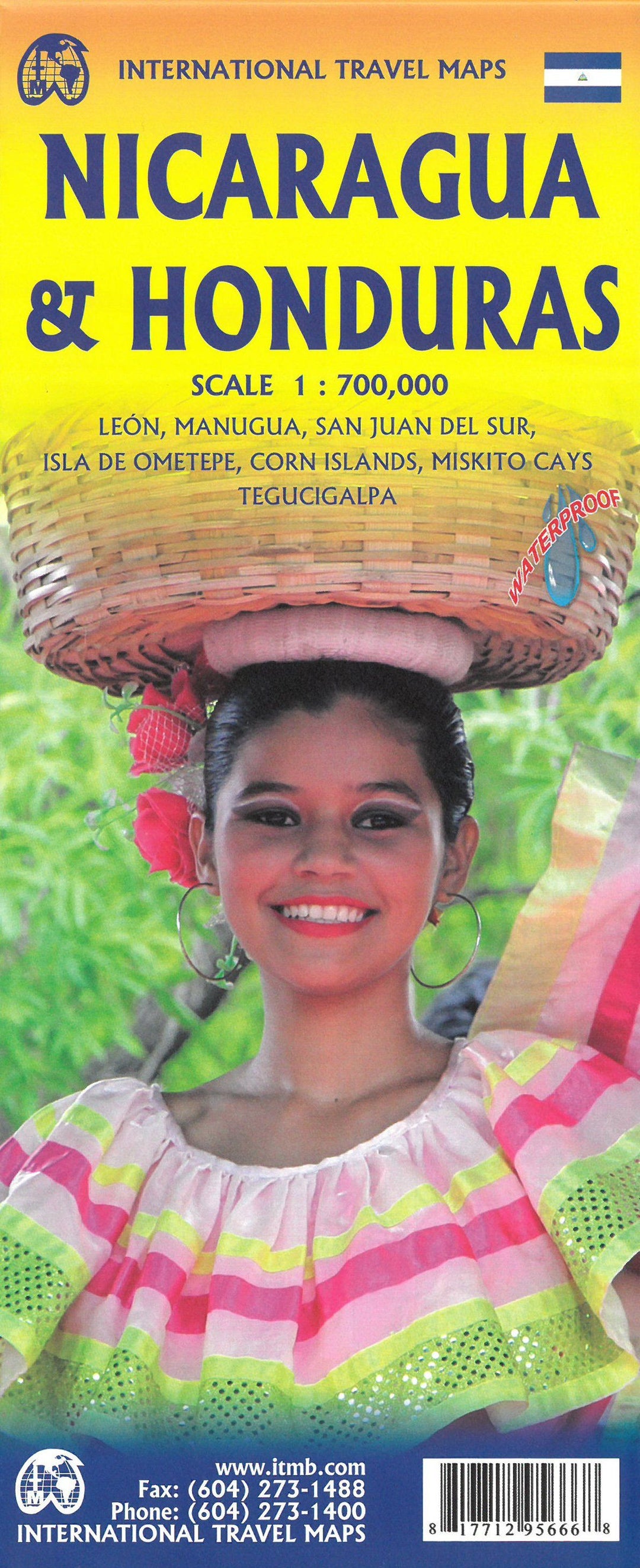
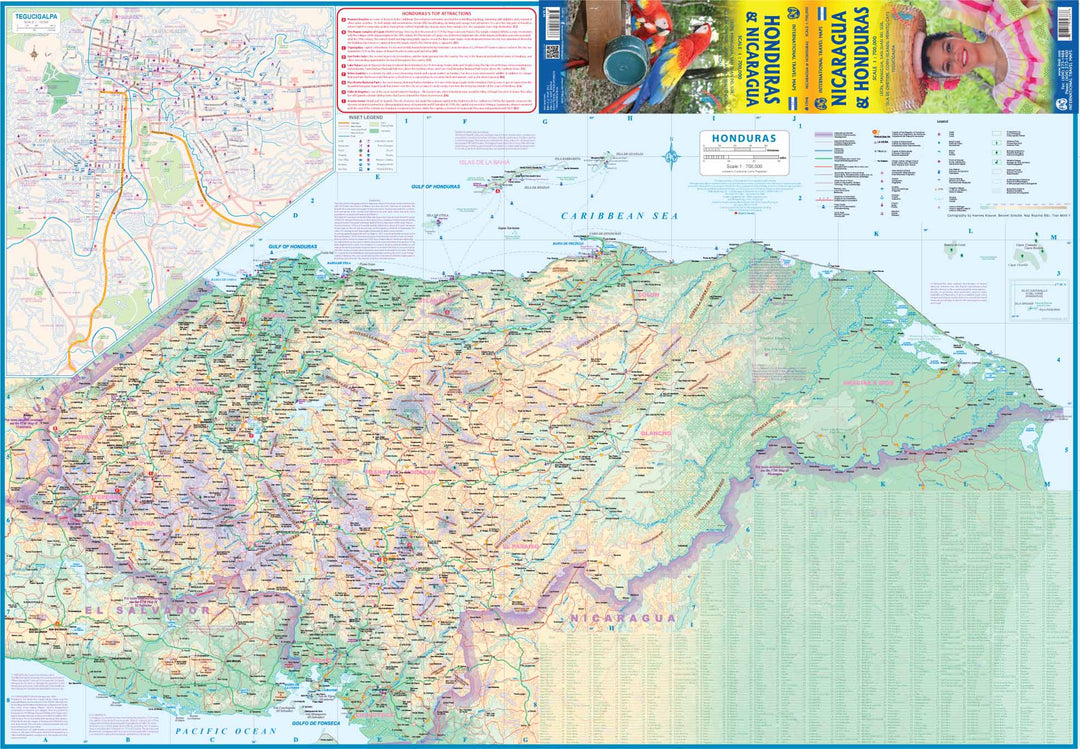
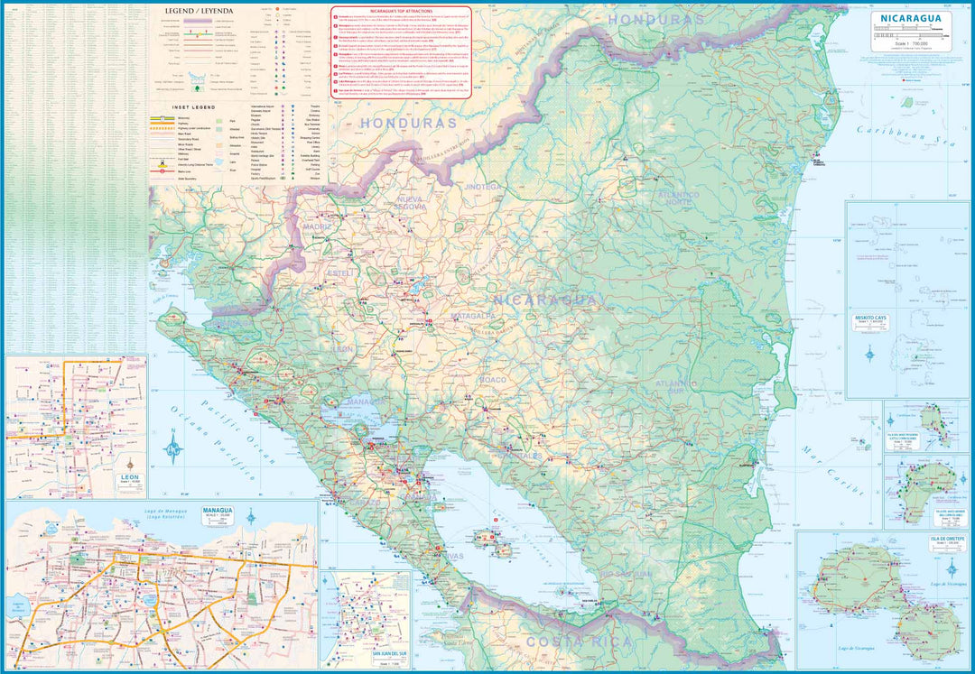
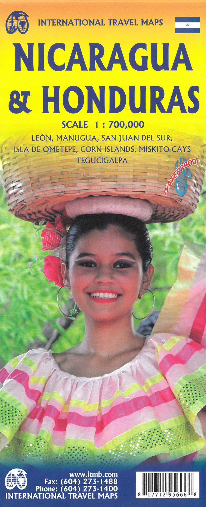
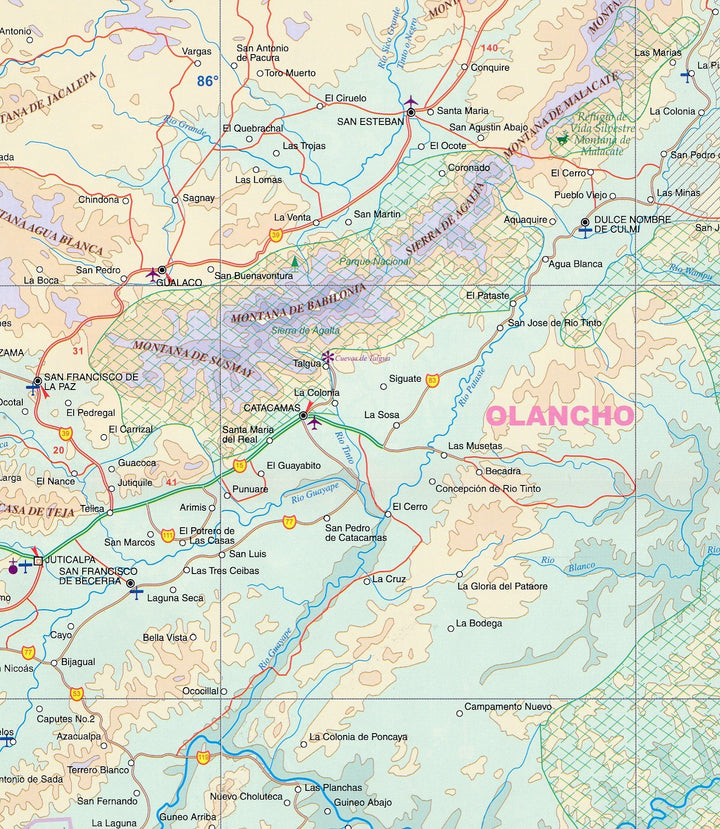
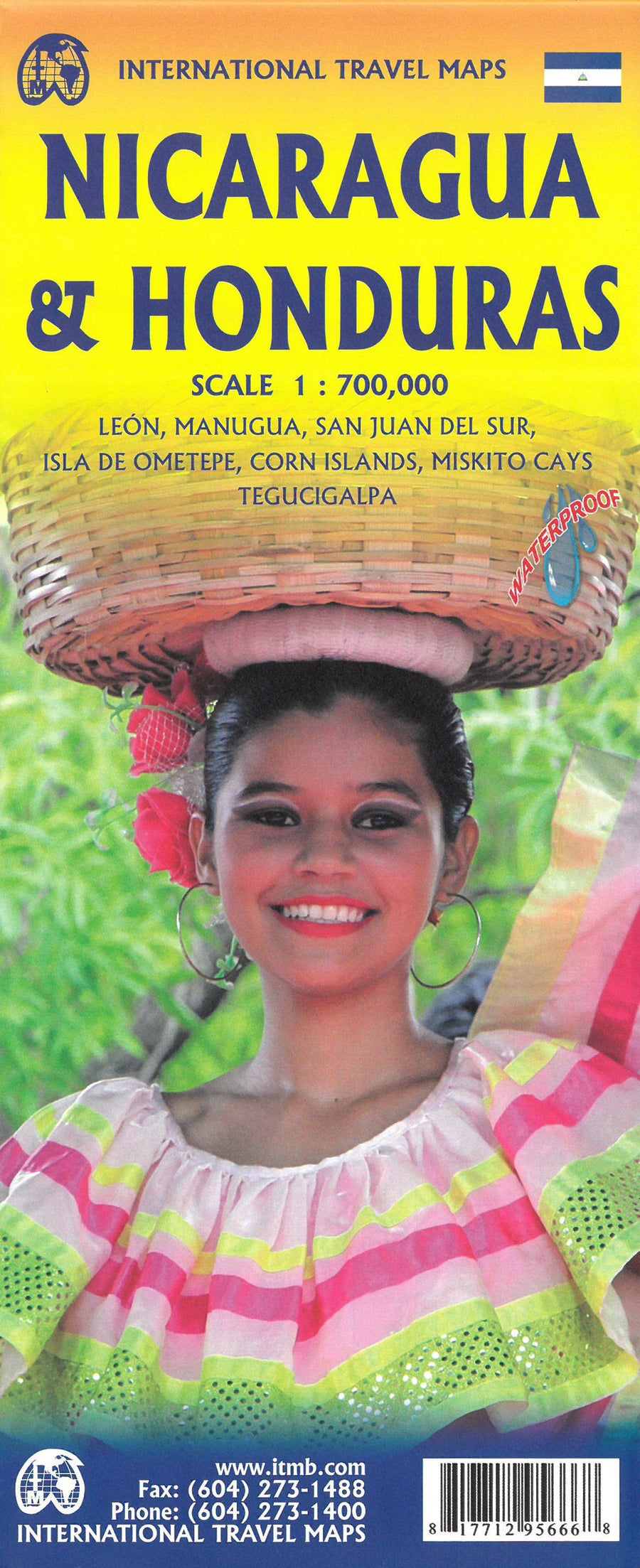
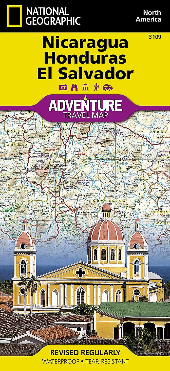
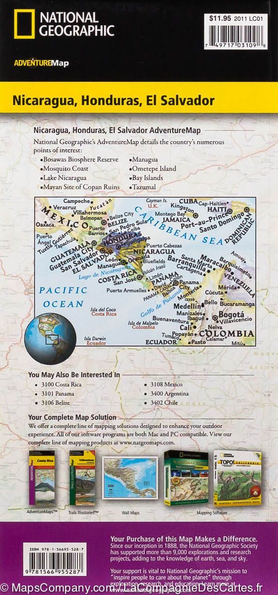
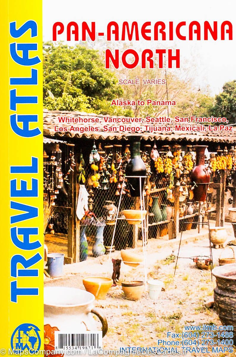
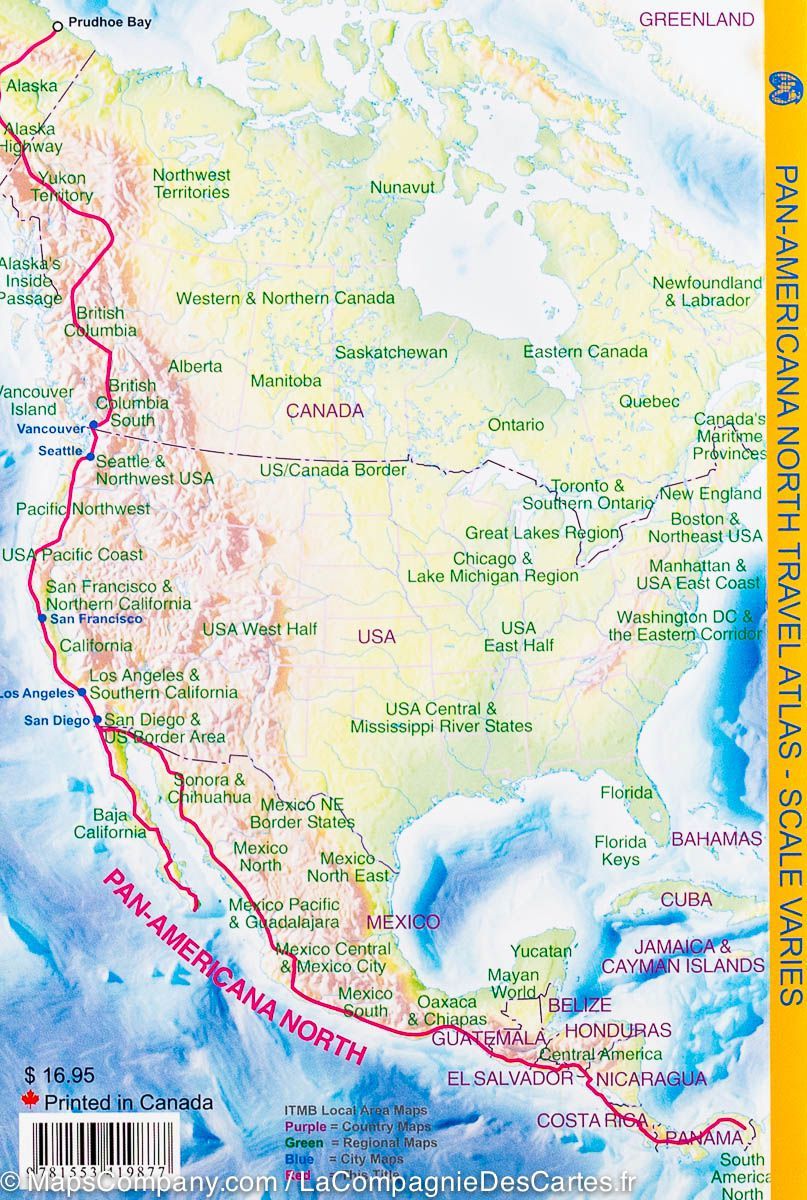
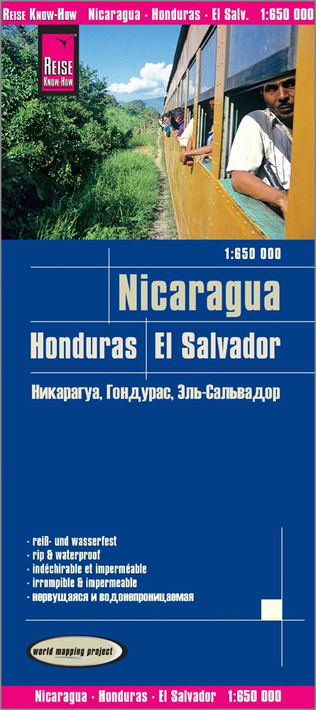
Nicaragua and Honduras Road map edited by ITM.
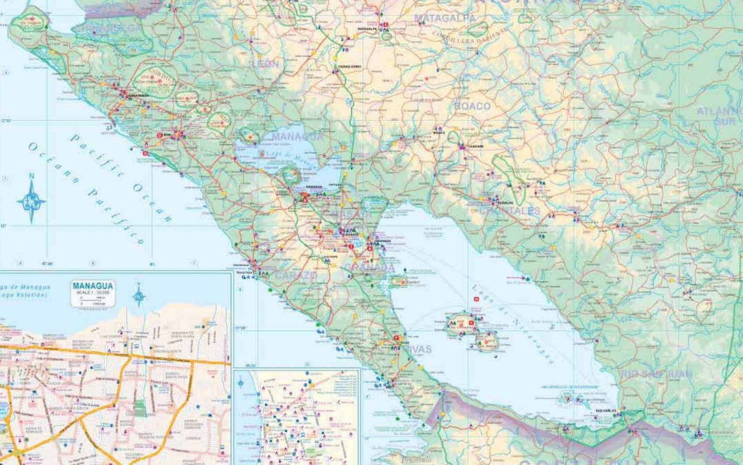
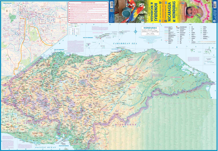
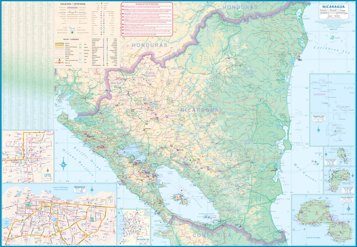
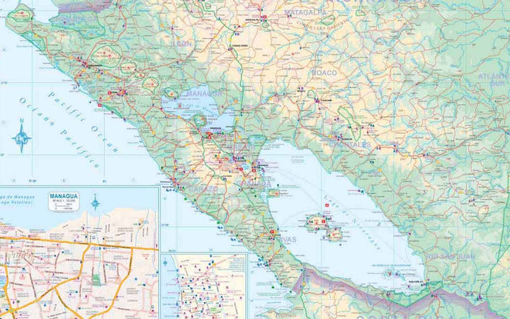
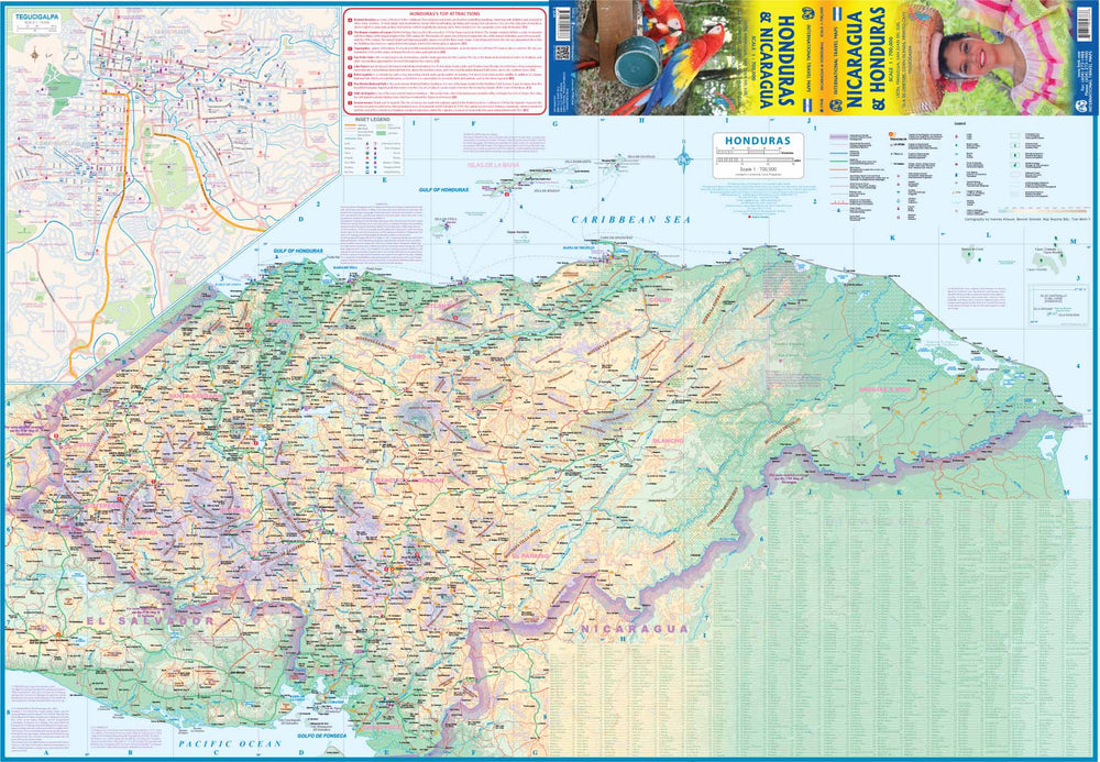
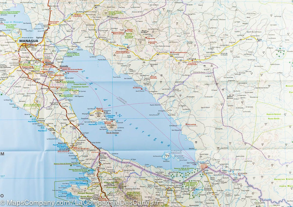
On the front of the map, we find Honduras and on the back Nicaragua. Honduras and Nicaragua have a lot of attractions to offer. The Honduras offers beaches, the magnificent MAYA complex of Copan, Lake Yojoa, the colonial heritage of Belen Gualcho, the angel valley and a charm named Gracias. A large medallion map of Tegucigalpa, the capital, is included. Nicaragua has one of the oldest urban areas of the Western Hemisphere, Granada (1534), Matagalpa Mountains, fishing villages, potters in San Juan, the largest lake in Central America and Tourist islands off the coast. A map of Managua, the capital, is included in inset.
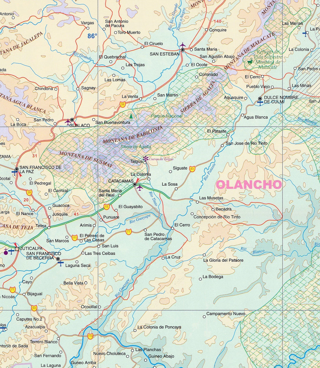
Relief mapping, distances indicated on large axes, as well as gas stations. Plans of Managua, Leon, San Juan del Sur, Isla de Ometepe, Corn Islands, Miskito Cays, Tegucigalpa.
Maritime Liaisons and Cities Index Included.
This map is waterproof and resistant to tearing.
ISBN/EAN : 9781771295666
Publication date: 2019
Scale: 1/700,000 (1cm=7km)
Printed sides: both sides
Folded dimensions: 24.6 x 10.3 x 0.5cm
Unfolded dimensions: 100 x 69cm
Language(s): English Spanish
Weight:
86 g


