1939 Reaches of New York City Map Wall Map

1939 Reaches of New York City Map

Price
Regular price $39.00
Regular price Sale price $39.00
Save $-39
/
  • Shipping within 48 business hours from our warehouse in the USA. For this product, customs fees may be requested by the carrier upon delivery.
  • Delivery costs calculated instantly in the basket
  • Free returns (*)
  • Real-time inventory
  • In stock, ready to ship
  • Backordered, shipping soon
Tax included.

Often purchased together:

The "Reaches of New York City" map appeared in the April 1939 issue of National Geographic Magazine with an article about Long Island. With its border illustrations of famous people and sites and its artful cartography, this work is perfect for framing.


ISBN/EAN : 2321675M
Publication date: 1939
Unfolded dimensions: 26.25in / 28.75in
Language(s): English
Weight: 200 g

Customer Reviews

Be the first to write a review
0%
(0)
0%
(0)
0%
(0)
0%
(0)
0%
(0)
More from New York City
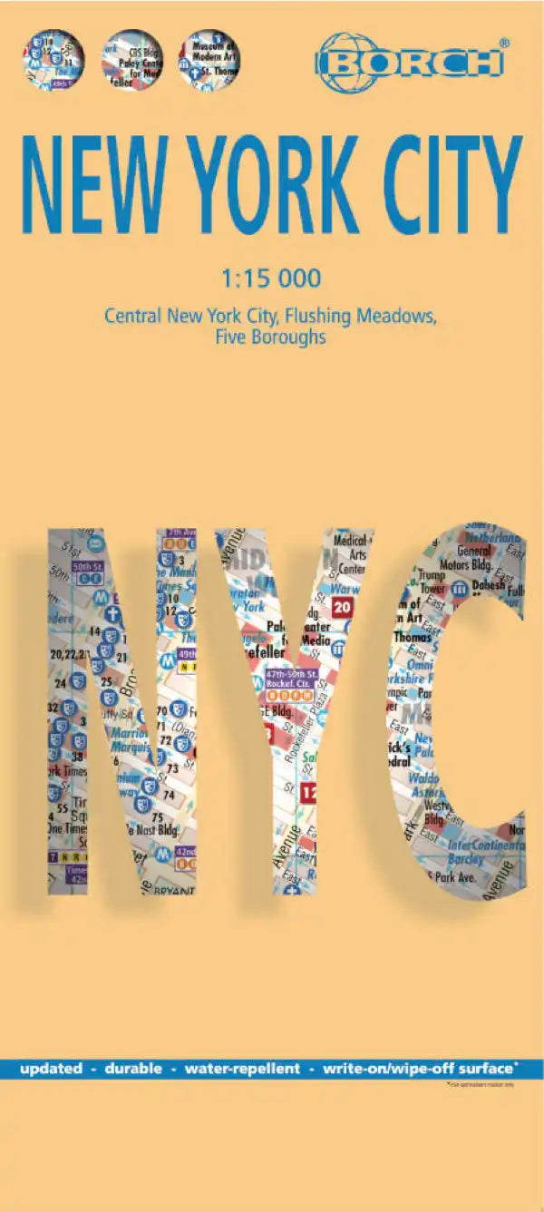
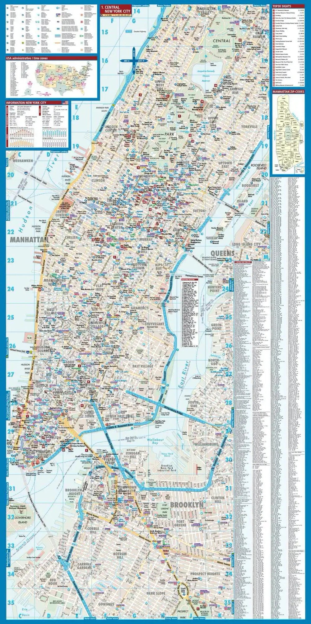
Plan plastifié - New York | Borch Map carte pliée Borch Map
Laminated plan - New York | Borch Map
Borch Map
$10.00
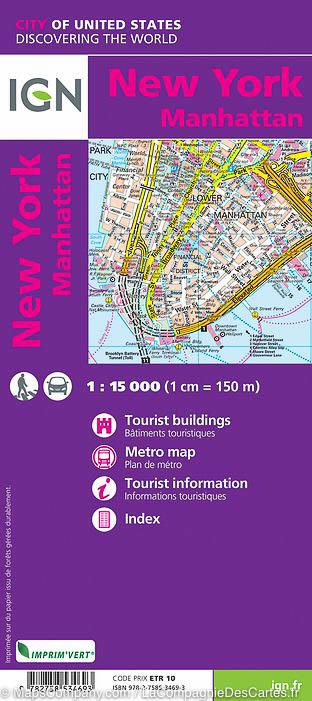
Plan détaillé - New York - Manhattan | IGN carte pliée IGN
Detailed map - New York - Manhattan | IGN (French)
IGN
$10.00
Guide de conversation - Anglais | Lonely Planet guide pratique Lonely Planet
Conversation Guide - English | Lonely Planet (French)
Lonely Planet
$9.00
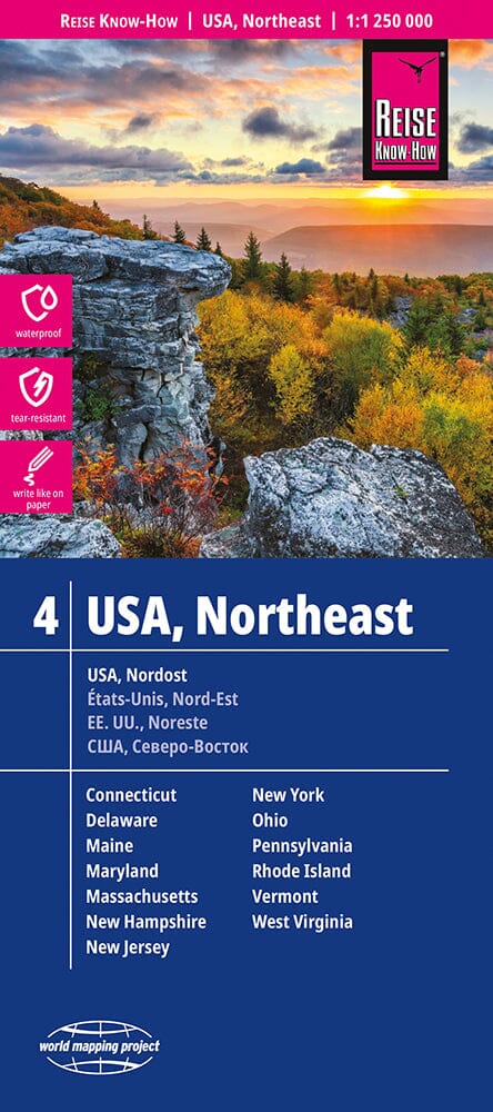
Carte routière USA n° 4 - USA Nord-est | Reise Know How carte pliée Reise Know-How
US Road map # 4 - USA Northeast | Reise Know How
Reise Know-How
$14.00
Plan détaillé - New York 2024/25 | Cartoville carte pliée Gallimard
Detailed map - New York | Cartoville (French)
Gallimard
$11.00