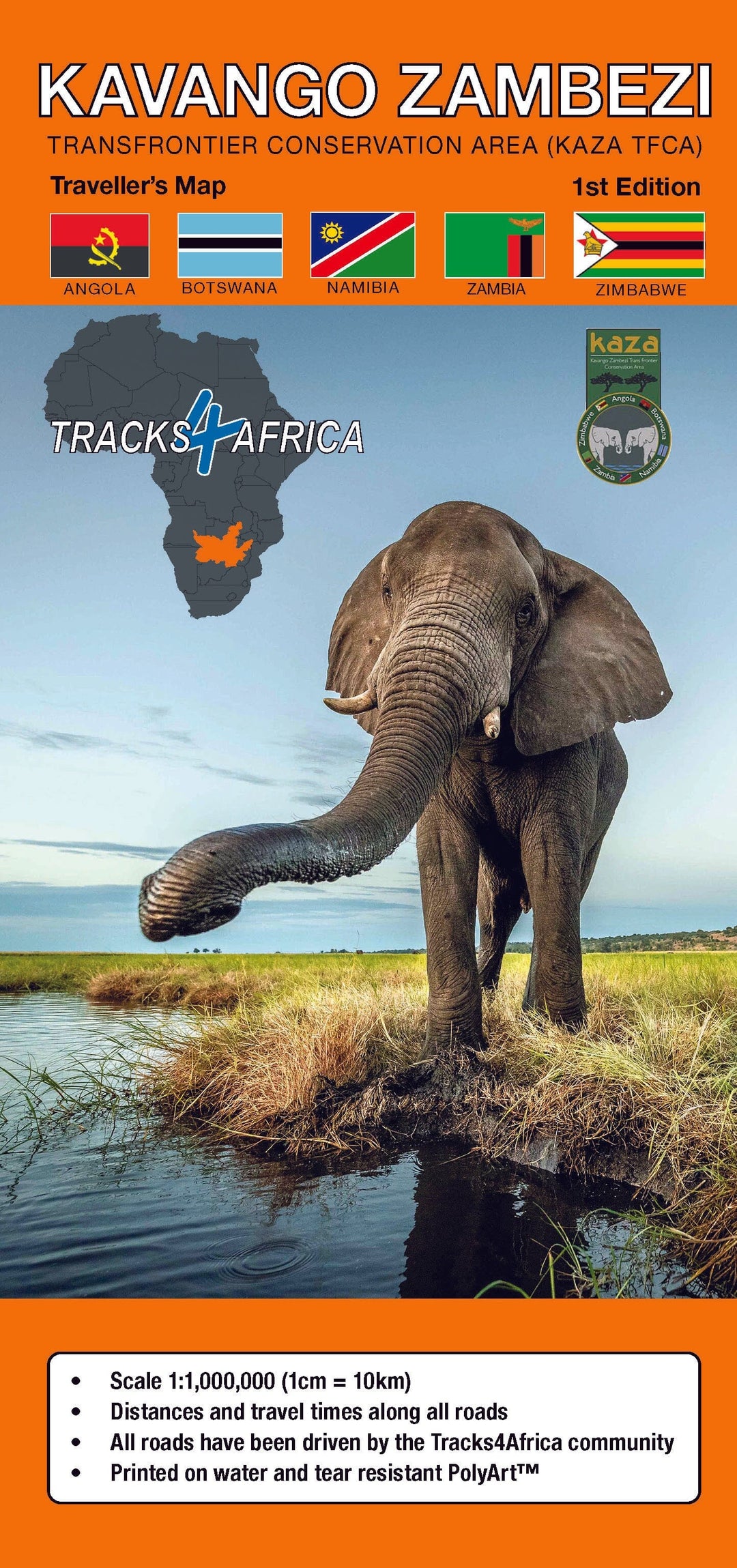
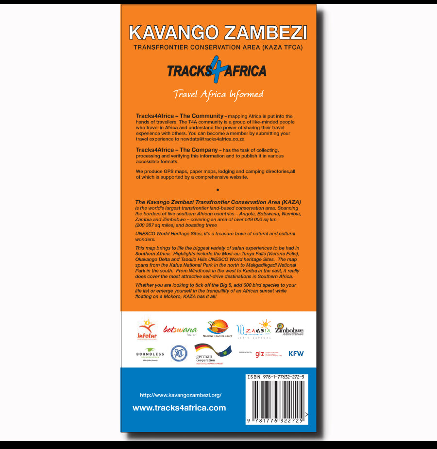
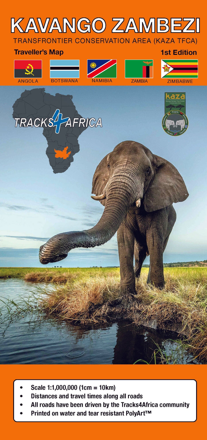
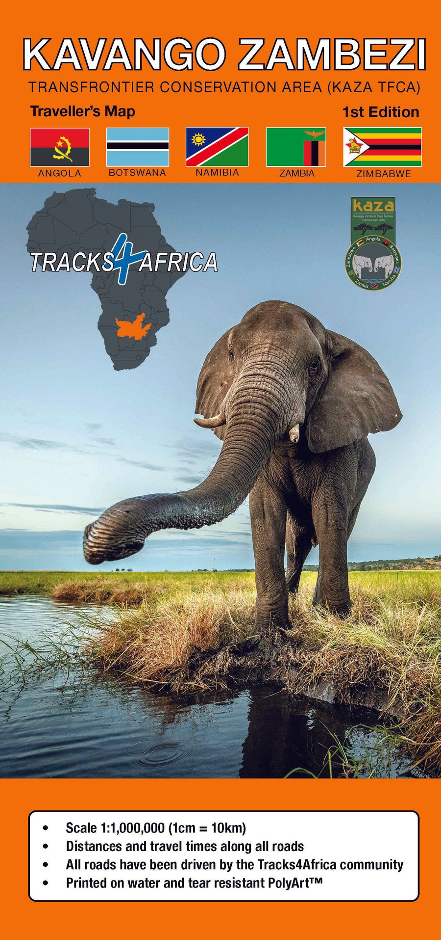
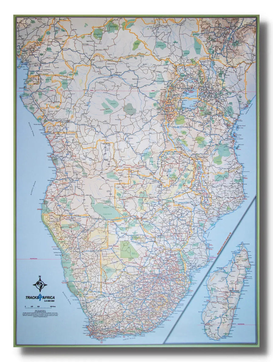
Road map of Kavango Zambezi published by Tracks4Africa. Distances indicated on each road with travel time, terrain mapping, tourist information (national parks, accommodation, service stations, etc.). City index and distance table included.
Detailed waterproof and tear-resistant map.
Kavango Zambezi is the largest transboundary terrestrial conservation area in the world. Spanning the borders of 5 countries (Angola, Botswana, Namibia, Zambia and Zimbabwe), it covers an area of more than 519,000 km² and is home to 3 UNESCO World Heritage sites. It is a treasure trove of natural and cultural wonders!
This map brings to life the widest variety of safari experiences available in Southern Africa. Highlights include the Mosi-oa-Tunya Falls (Victoria Falls), the Okavango Delta and the Tsodilo Hills, UNESCO World Heritage Sites.
The map extends from Kafue National Park in the north to Makgadikgadi National Park in the south. From Windhoek in the west to Kariba in the east, it truly covers the most attractive self-drive destinations in Southern Africa.
Whether you're looking to tick off the Big 5, add 600 bird species to your list or immerse yourself in the tranquility of an African sunset while floating on a Mokoro, KAZA has it all!


