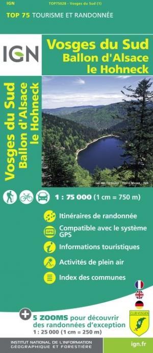
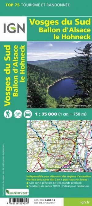
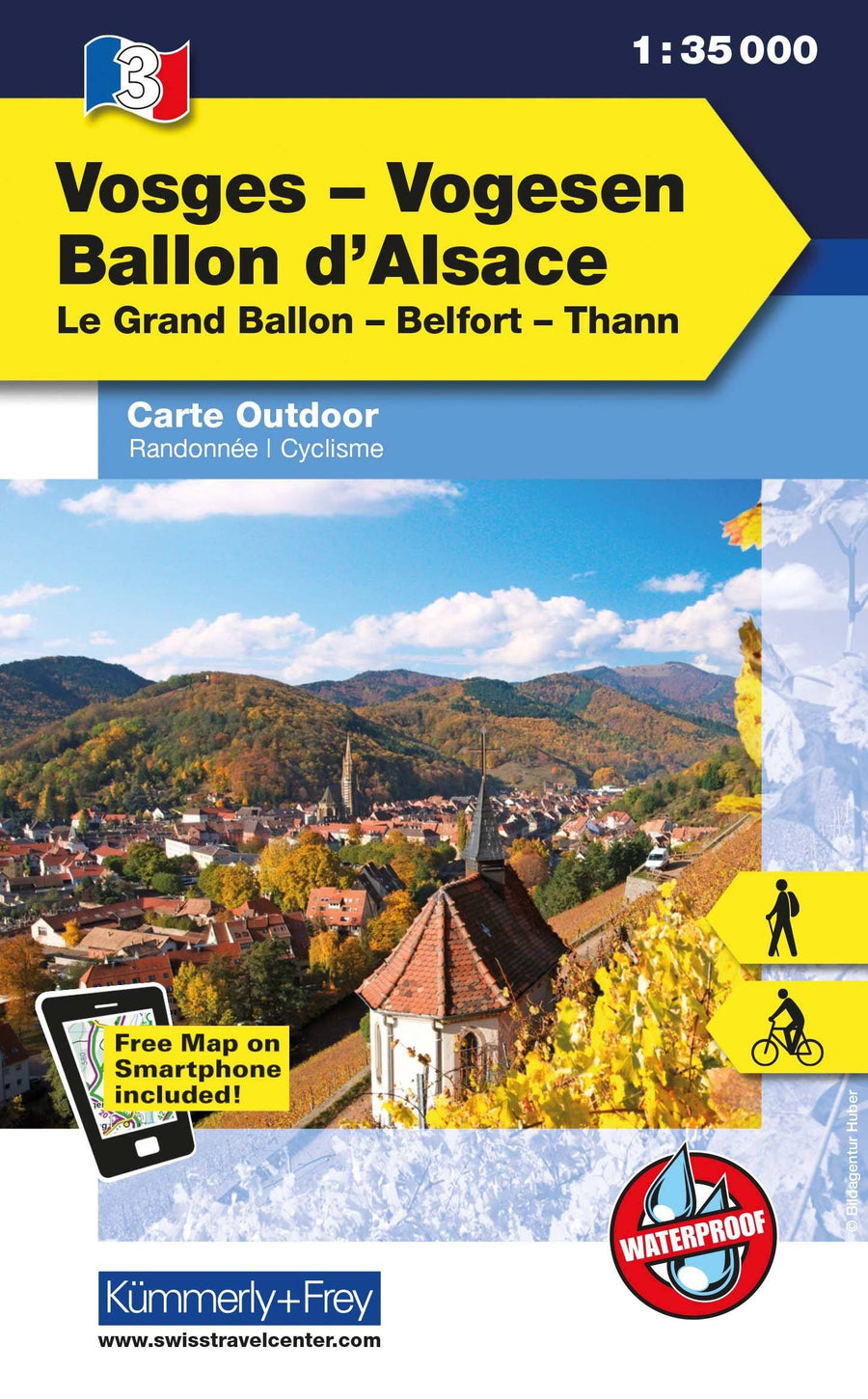
Hiking map No. 2222 - Alsace, Southern Vosges (Colmar, Mulhouse) | Kompass
Regular price
$25.00
Regular price
Sale price
$25.00
Save $-25
/
- Shipping within 24 working hours from our warehouse in France
- Delivery costs calculated instantly in the basket
- Free returns (*)
- Real-time inventory
- Low stock - 1 item left
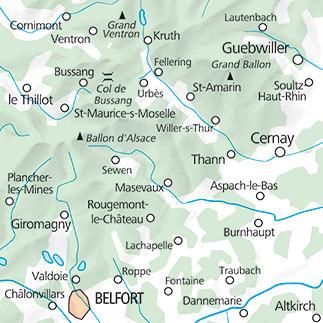
Related geographic locations and collections: Alsace, Ballons des Vosges Regional Nature Park, Belfort, Colmar, Massif of the Vosges, Montbéliard, Mulhouse, Vosges (department 88)