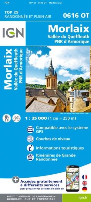
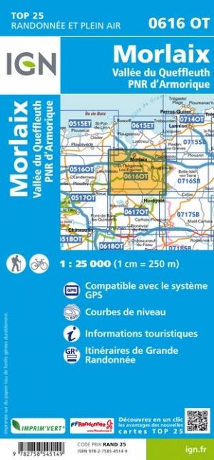
TOP 25 Map No. 0616 OT - Morlaix, Queffleuth Valley, Armorique Regional Natural Park | IGN

Price
Regular price $17.00
Regular price Sale price $17.00
Save $-17
/
  • Shipping within 24 working hours from our warehouse in France
  • Delivery costs calculated instantly in the basket
  • Free returns (*)
  • Real-time inventory
  • Low stock - 1 item left
  • Backordered, shipping soon
Tax included.

Often purchased together:

TOP 25 topographic map No. 0616OT of Morlaix, the Queffleuth Valley and the Armorique Regional Natural Park published by IGN.

This hiking map offers contour lines spaced 10 meters apart and a detailed legend (vegetation, rocks, communication routes down to the smallest path, buildings up to the shed, woods, isolated trees, rivers, springs, etc.).

Marked trails and tourist information are indicated. Scale 1:25,000 (1 cm = 250 m).

Municipalities covered: Plouigneau, Saint-Martin-des-Champs, Lannéanou, Guimiliau, Plouégat-Moysan, Bolazec, Botsorhel, Scrignac, Garlan, Plougonven, Morlaix, Plourin-lès-Morlaix, Berrien, Sainte-Sève, Commana, Pleyber-Christ, Plounéour-Ménez, Guiclan, Le Cloître-Saint-Thégonnec, Saint-Thégonnec Loc-Eguiner

Places to discover: Armorique Regional Natural Park, Cragou Rocks, Roc'h Trédudon, Roc'h Trévézel, Monts d'Arrée, Lesquiffiou Castle, Kermerzit Castle, Penhoat Castle, Ste-Geneviève, Keranroux, Kervézec Castle, Mezédern Manor


ISBN/EAN : 9782758557111
Publication date: 2025
Scale: 1/25,000 (1cm=250m)
Printed sides: front
Folded dimensions: 24 x 11cm
Unfolded dimensions: 96 x 132cm
Language(s): French, English, German
Weight: 89 g

Customer Reviews

Be the first to write a review
0%
(0)
0%
(0)
0%
(0)
0%
(0)
0%
(0)