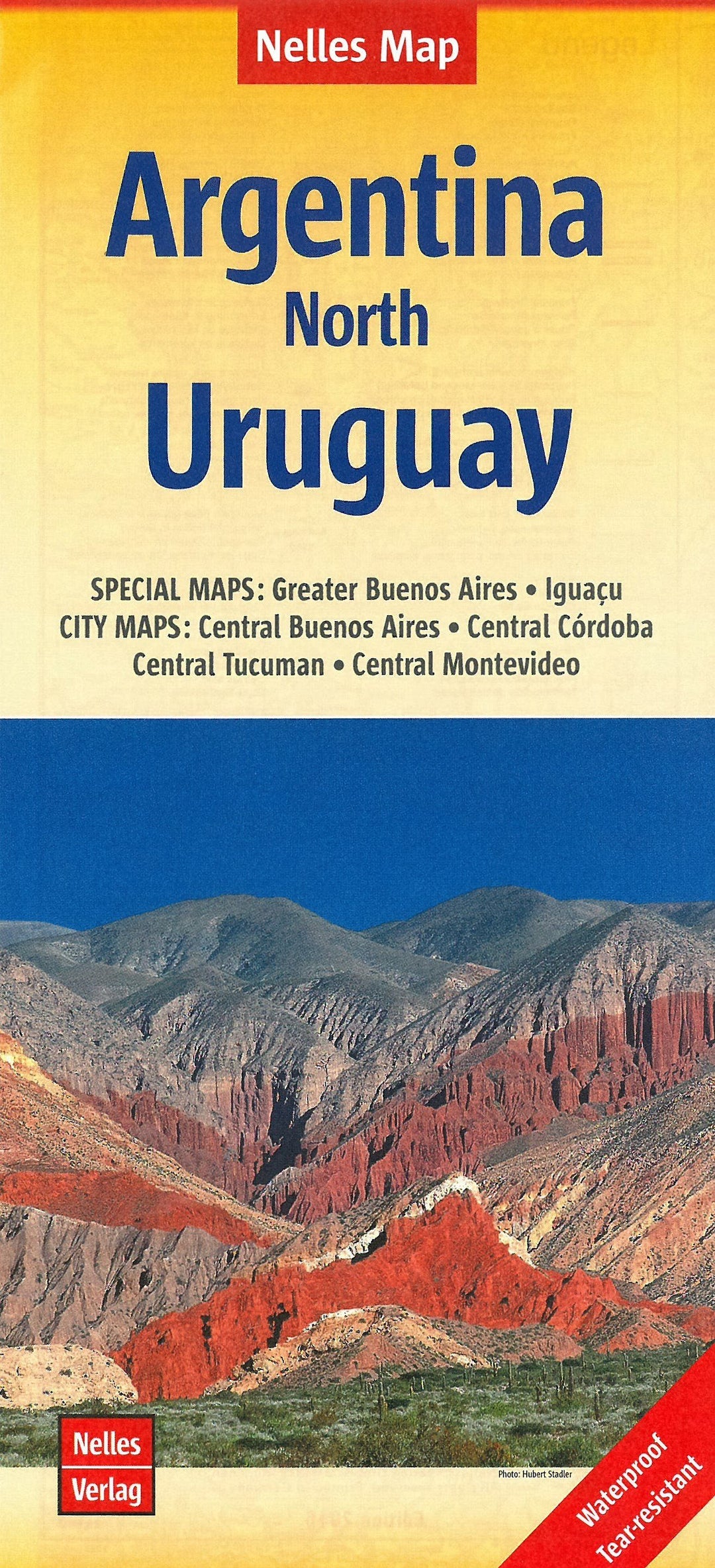
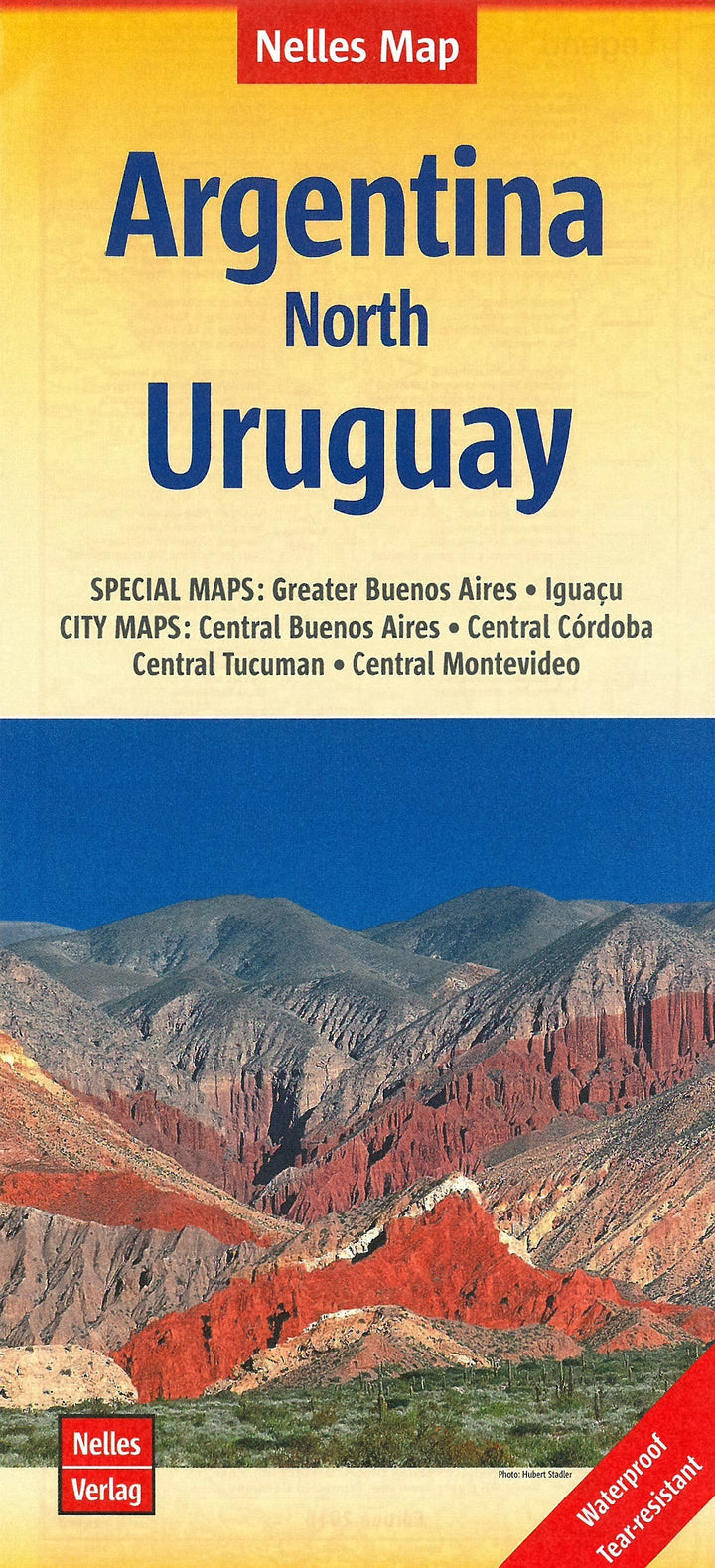
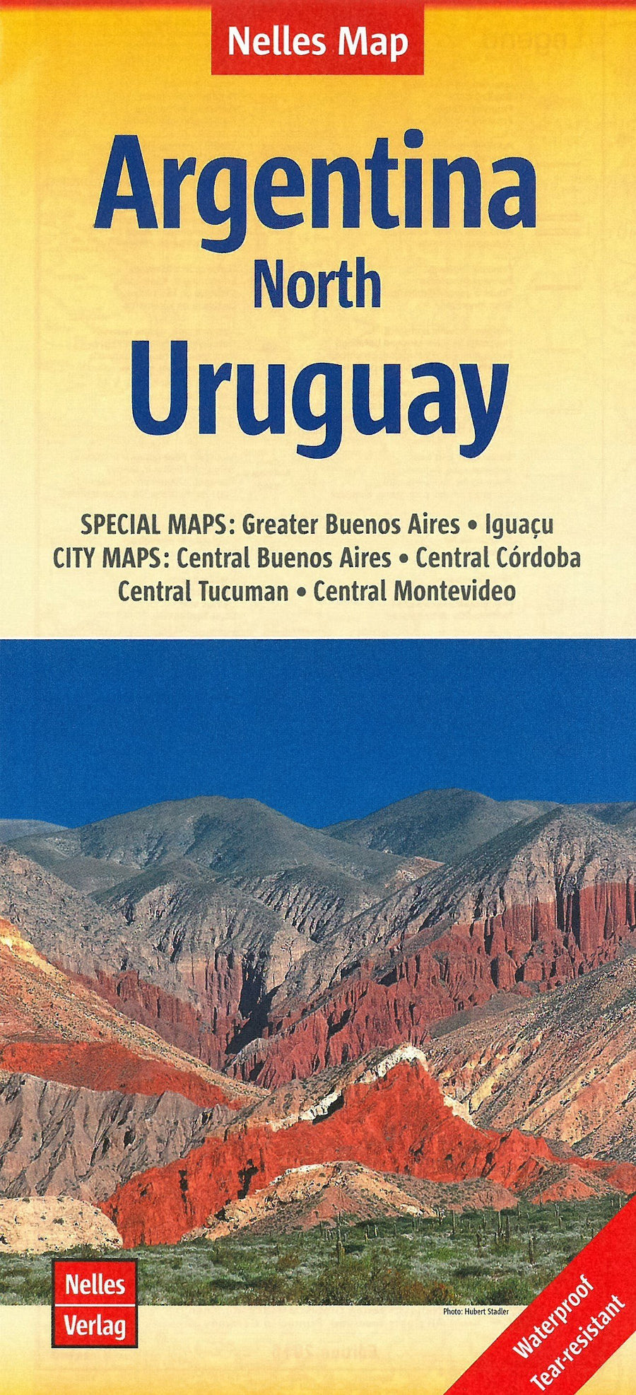
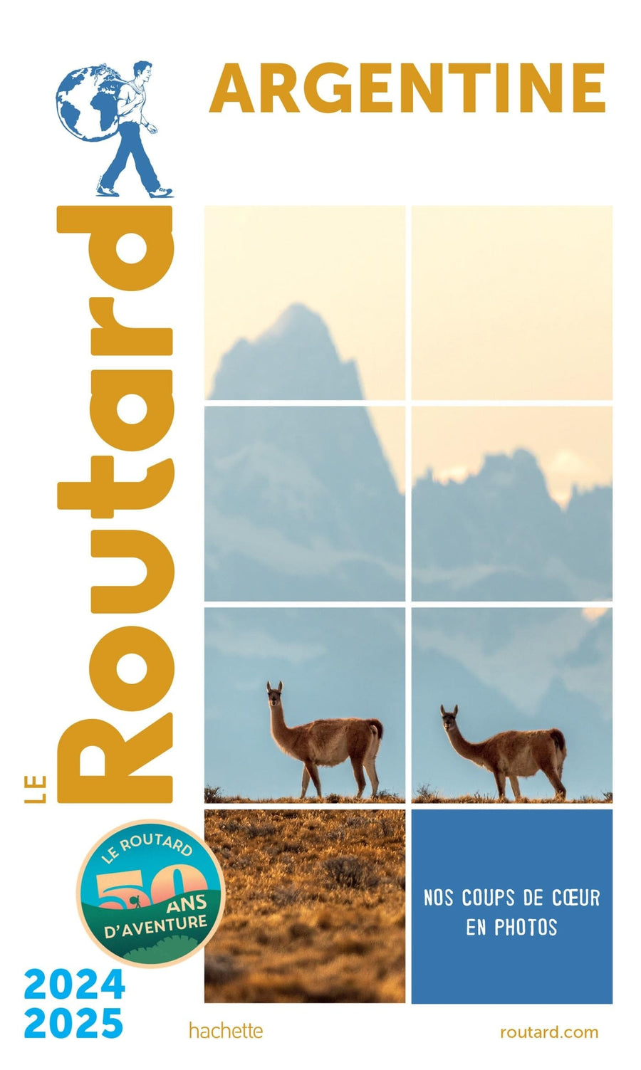
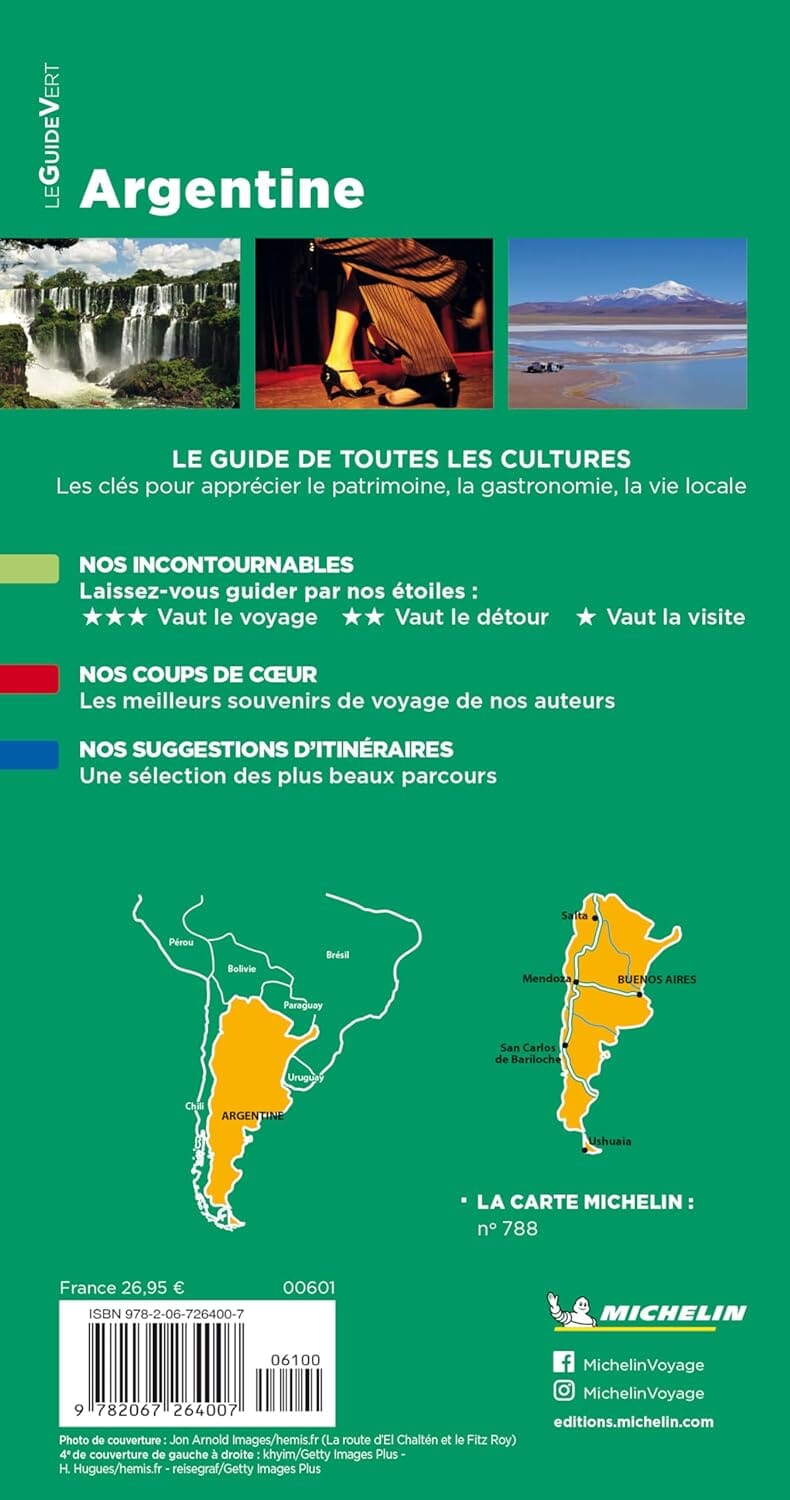
Carte routière imperméable - Argentine Nord & Uruguay | Nelles Map carte pliée Nelles Verlag

Waterproof Road Map - Argentina Nord & Uruguay | NELLES MAP

Waterproof Road Map - Argentina Nord & Uruguay | NELLES MAP

Regular price $11.00
/
  • Shipping within 24 working hours from our warehouse in France
  • Delivery costs calculated instantly in the basket
  • Free returns (*)
  • Real-time inventory
  • In stock, ready to ship
  • Backordered, shipping soon
Tax included.

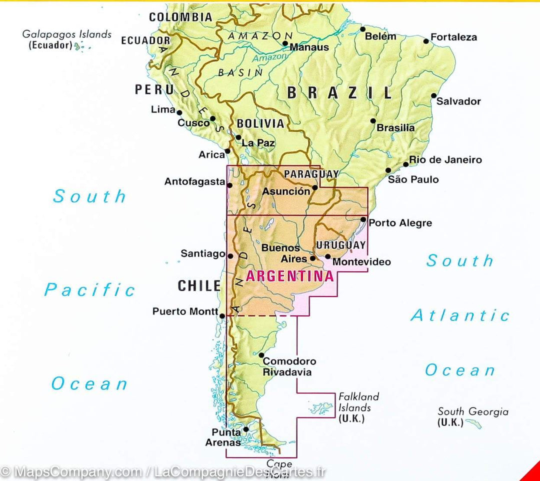
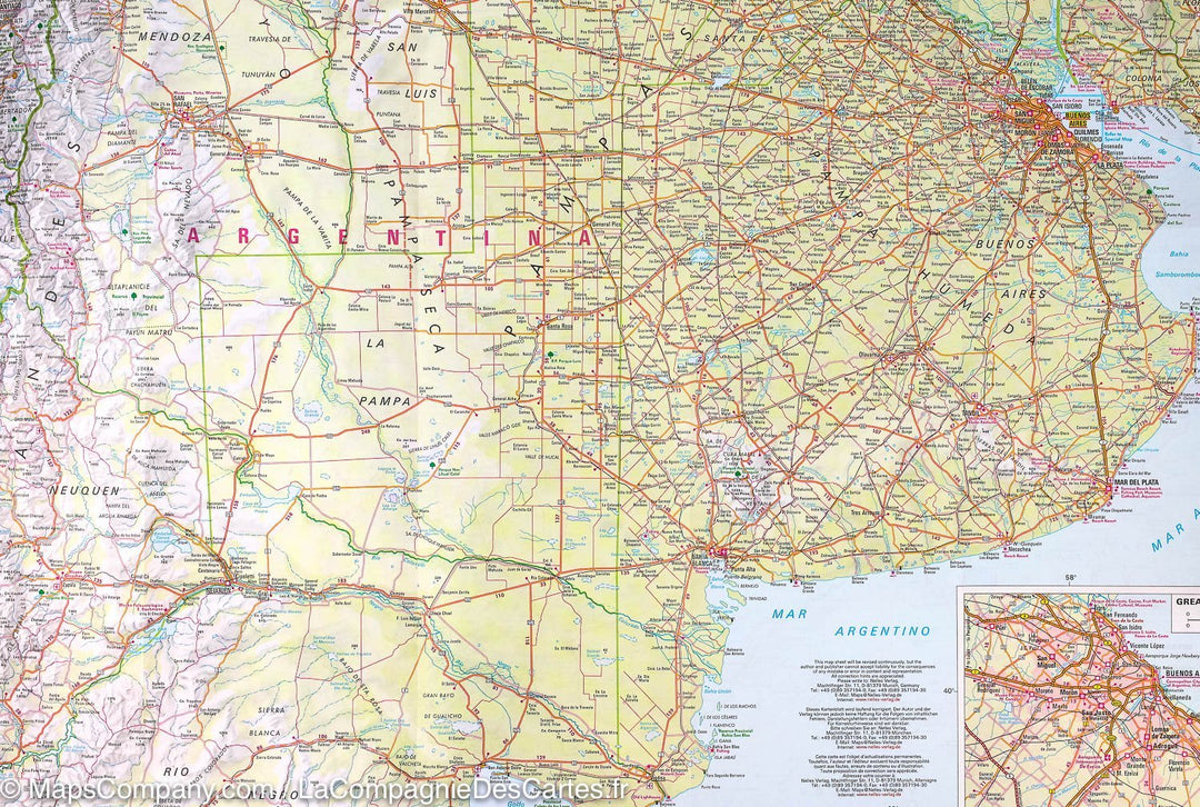
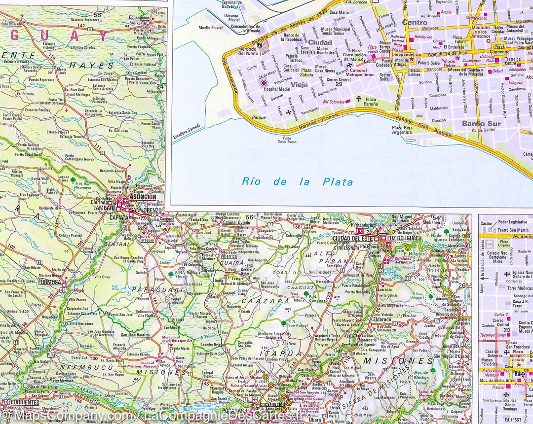
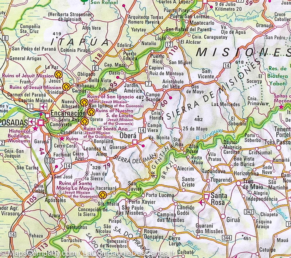
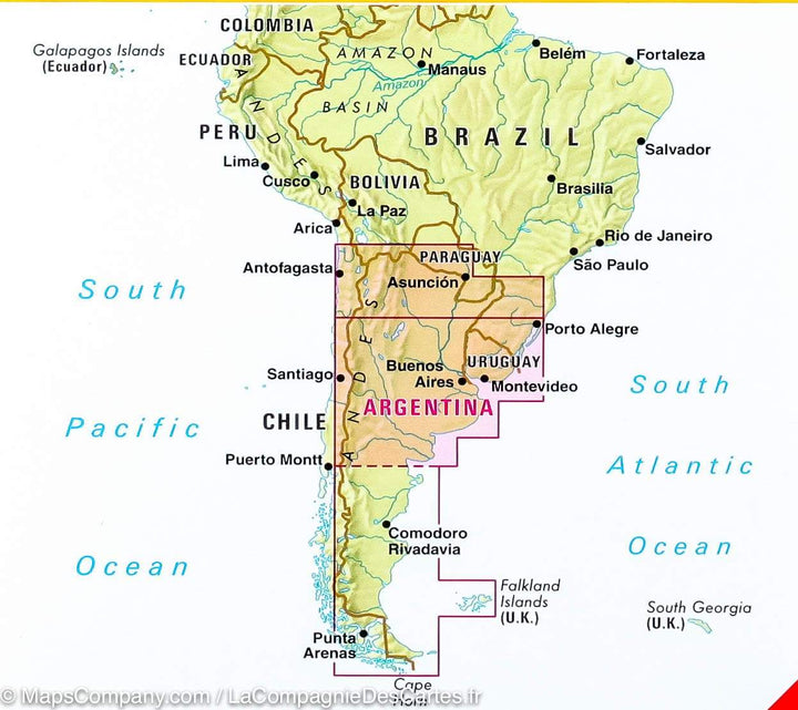
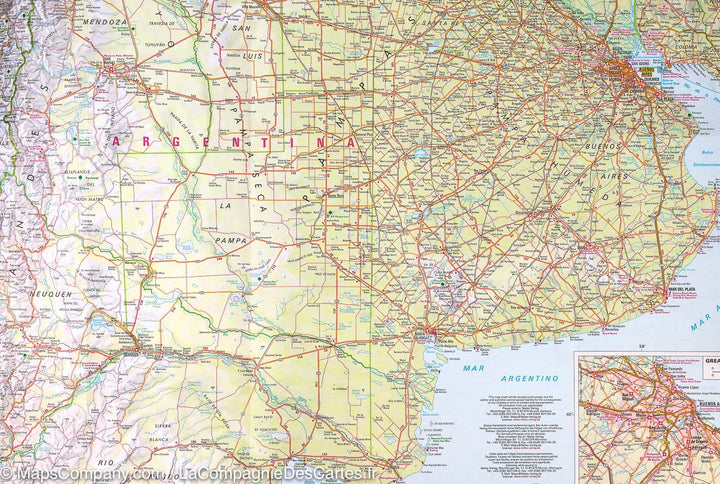
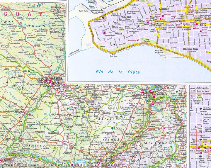
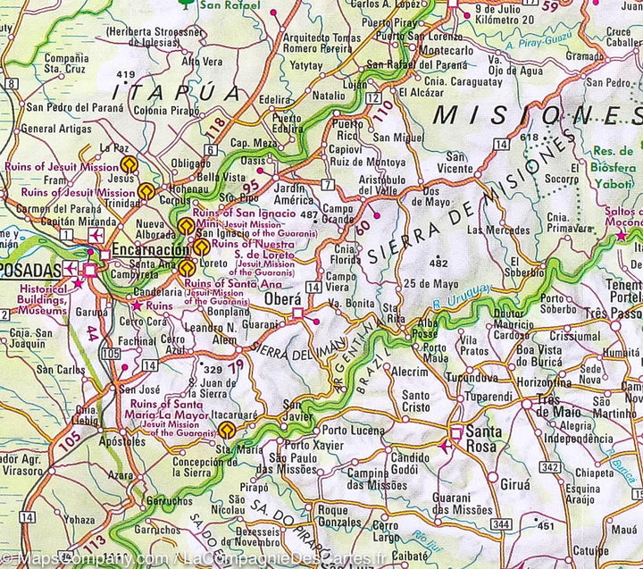
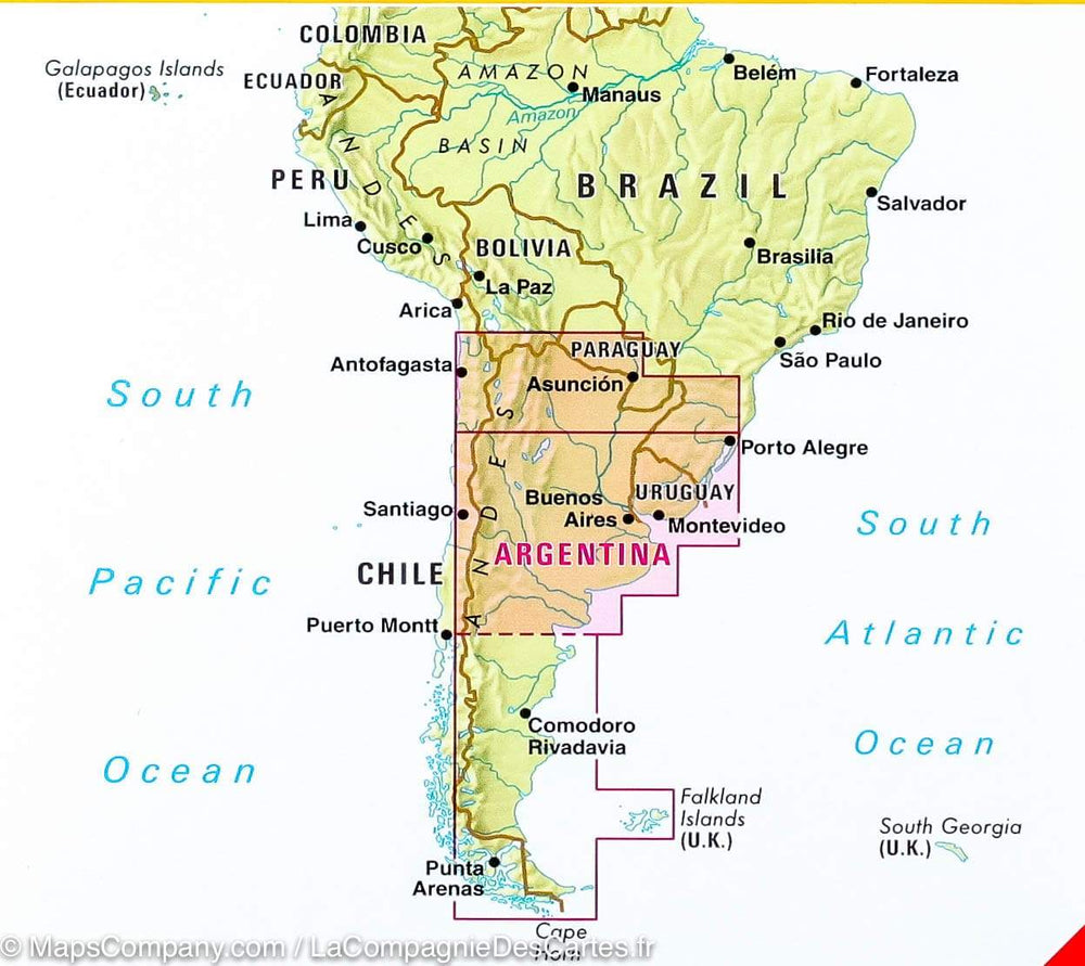
Road Map of northern Argentina and Uruguay. In Achina, Buenos Aires and Cordoba Agglomerations Plan, Buenos Aires Center, Cordoba, Tucuman and Montevideo as well as the Iguazu Falls. Legend in French, English and German with different roads (distances indicator), airports, attractions, national parks, nature reserves. Mapping of relief and points of interest indicated.

This map north of Argentina and Uruguay is double-sided printed on a flexible paper waterproof and tearing resistant.


ISBN/EAN : 9783865740847
Publication date: 2016
Scale: 1/2,500,000 (1cm=25km)
Printed sides: both sides
Folded dimensions: 12 x 25.5 x 0.7cm
Unfolded dimensions: 79cm x 50cm
Language(s): French, English, German
Poids : 69 g

Customer Reviews

No reviews yet
0%
(0)
0%
(0)
0%
(0)
0%
(0)
0%
(0)