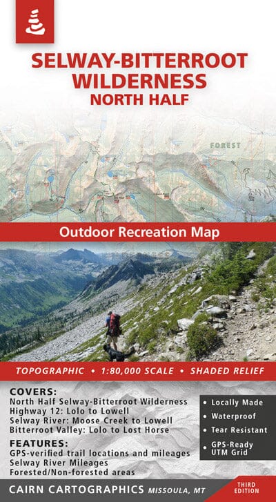
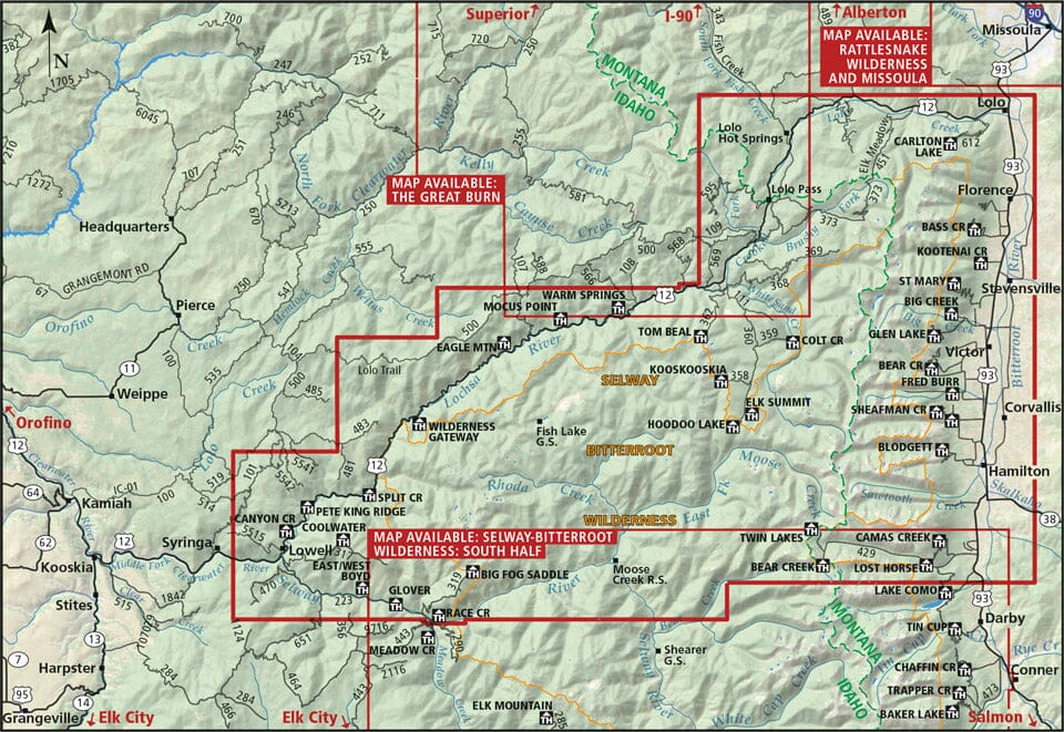
Covers the northern half of the Selway-Bitteroot Wilderness, Highway 12: Lolo to Lowell, Montana's Bitterroot Valley: Lolo to Lost Horse, the Selway River: Moose Creek to Lowell, and the Bitterroot River: Wally Crawford Access to Lolo.
- Waterproof and rip-proof
- Topographic relief/shaded
- Wooded and non-wooded areas
- GPS-verified trail locations and mileages
- GPS-compatible UTM and Lat/Long grids
- Scale 1:80,000
- Contours: 100 feet
- River mileages on the Biteroot and Selway Rivers
ISBN/EAN : 9780985640255
Publication date: 2014
Scale: 1/80,000 (1cm=800m)
Printed sides: both sides
Folded dimensions: 8 x 4 inches / 20.3 x 10.2 cm
Unfolded dimensions: 39 x 25 inches / 99.1 x 63.5 cm
Language(s): English
Weight:
3.5 oz


