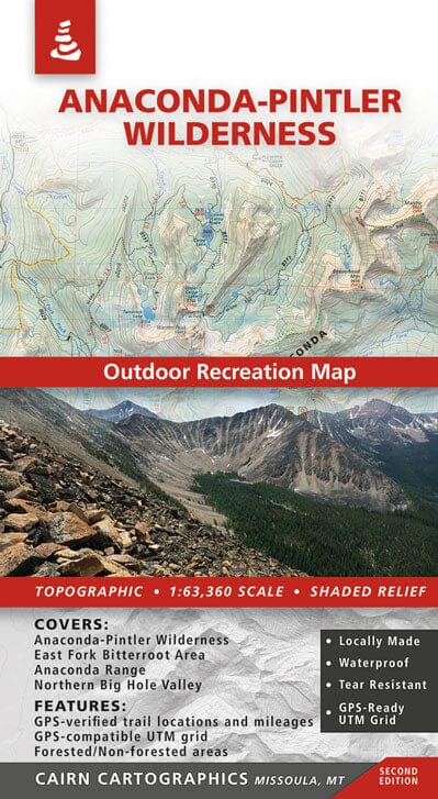
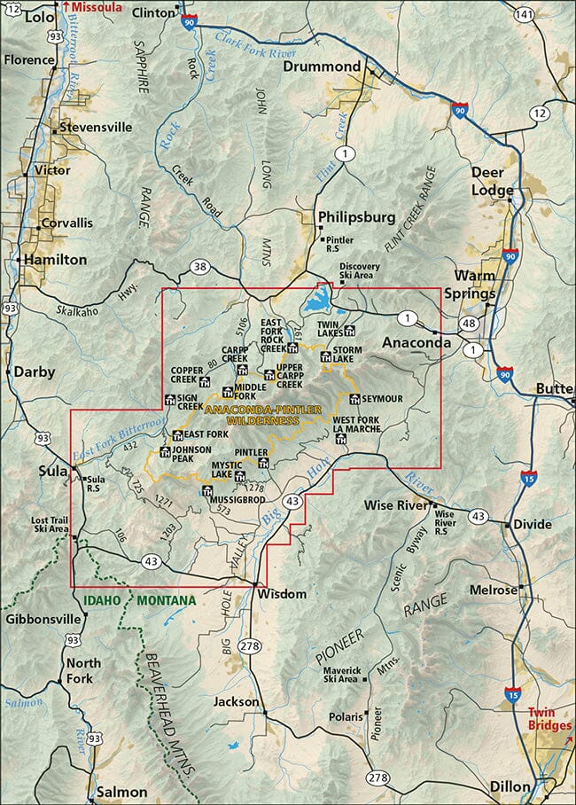
This map covers the Anaconda-Pintler Wilderness, the East Fork Bitterroot region, and the northern Big Hole Valley.
During the summer and fall of 2016, Cairn Cartographics GPSed over 350 miles of trails to make trail locations and mileages as accurate as possible. We hope you find these additions helpful on your next trip to the Anaconda Range.
-Waterproof and tear-resistant
-Topographic/shaded relief
-Forested and non-forested areas
- GPS-verified trail locations and mileages
-GPS-compatible UTM and Lat/Long grids
-Scale 1:63 360
-Contours: 100 feet
ISBN/EAN : 9780999033425
Publication date: 2021
Scale: 1/63360 (1cm=633m)
Printed sides: both sides
Folded dimensions: 8.27 inches x 4.33 inches (21 x 10 cm)
Unfolded dimensions: 38.19 inches x 23.62 inches (97 x 59 cm)
Language(s): English
Weight:
3.1 oz


