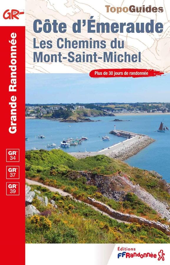
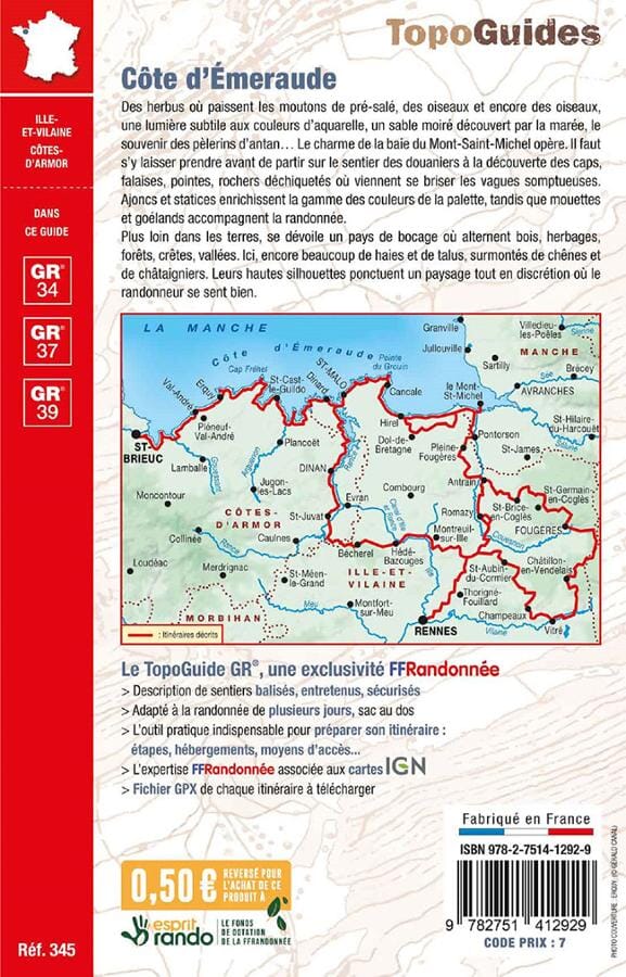
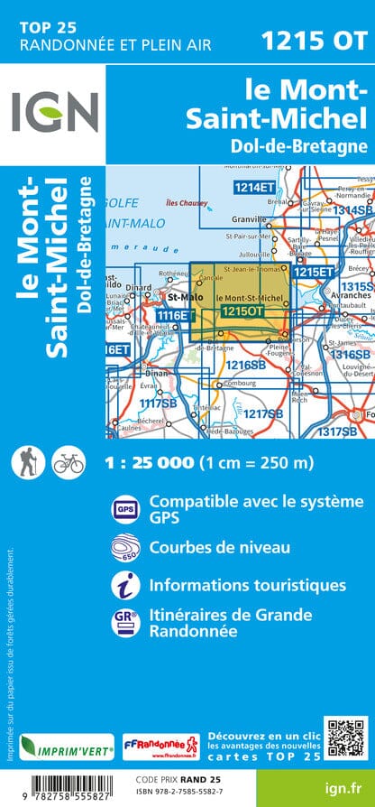
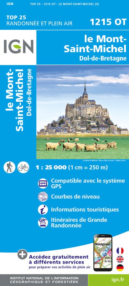
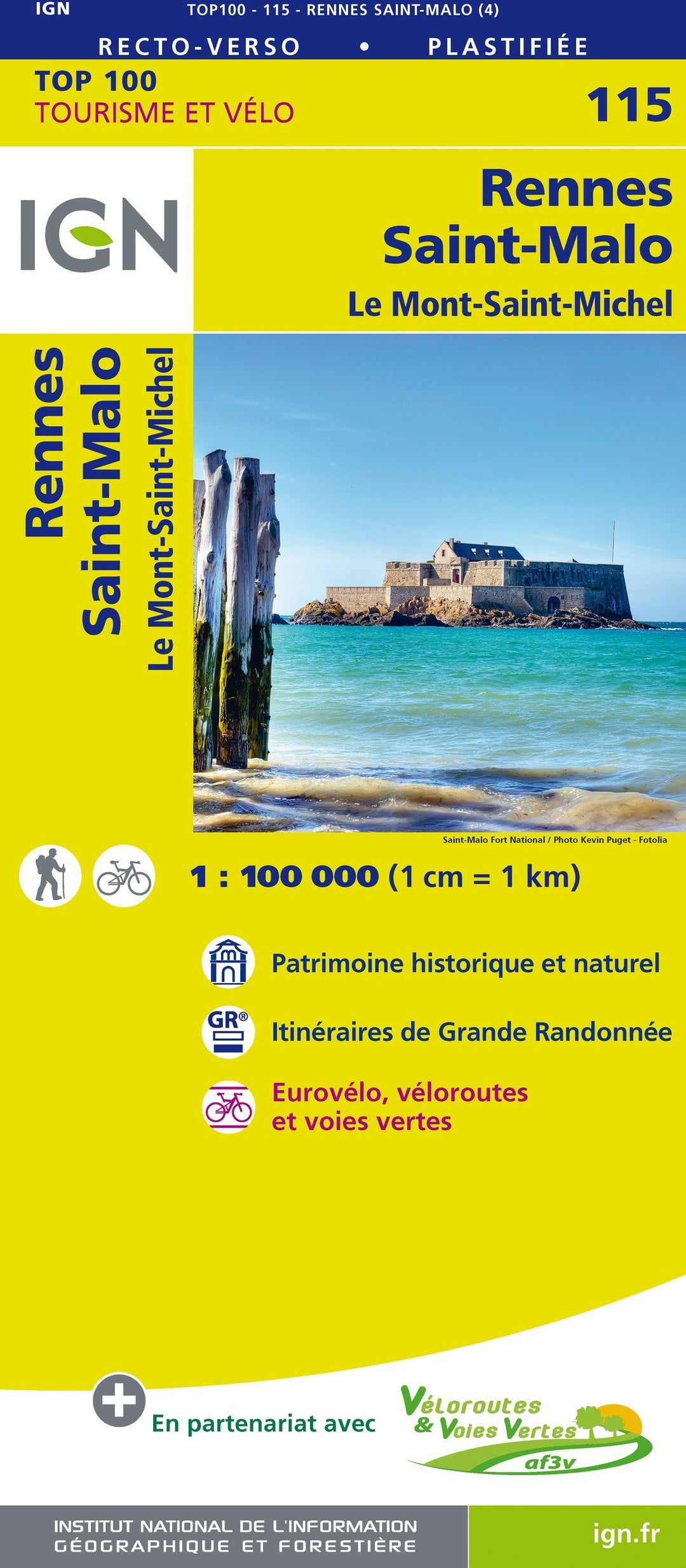
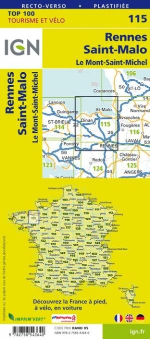
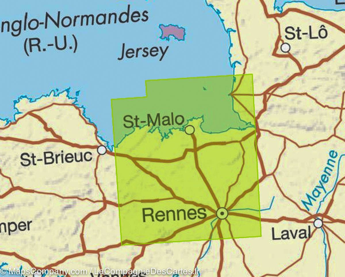
ISBN/EAN : 9782758543640
Publication date: 2018
Scale: 1/100,000 (1cm=1km)
Printed sides: both sides
Folded dimensions: 23.6 x 11.2 x 0.5cm
Unfolded dimensions: 120 x 96cm
Language(s): French, English, German
Poids :
85 g
Map IGN Top 100 from the region of Rennes, St Malo and Mont Saint Michel : a road map but also a hiking map to discover a region as well by car, cycling or on foot. span> This map gives with great precision the road network (main roads, secondary, small roads) and motorway and also indicates the hiking trails (GR). span> The relief is well highlighted thanks to the level curves. Indication of bike paths. Signaling of tourist attractions (leisure parks, climbing spots ...). span> This map includes GPS compatible grid. It has a brand new duplex format span> laminated strong> , simpler use, it integrates bicycle routes in partnership with the AF3V association (Véloroutes and Greenways). The plots are described in order to clearly identify the most accessible or difficult paths, it's up to you to choose according to your expectations. Scale 1 / 100,000 (1 cm = 1 km). Span>
More from Mont-Saint-Michel
Recently viewed