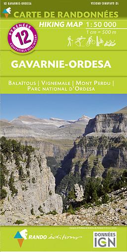
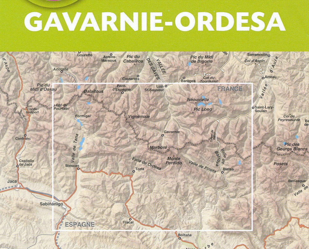
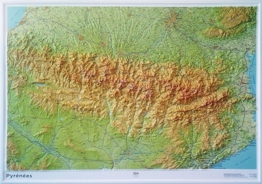
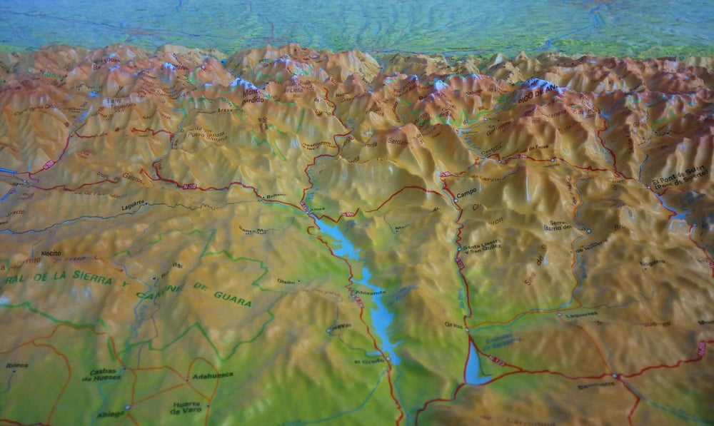
Covers in particular the Vignemale, the Mount Lost and Pic de Balaïtous.
Topographic map with level curves and useful information to the mountain practice included. Scale 1/50 000 (1 cm = 500 m).
ISBN/EAN : 9782344026663
Publication date: 2018
Scale: 1/50,000 (1cm=500m)
Printed sides: front
Folded dimensions: 22.5 x 11 x 0.5cm
Unfolded dimensions: 131 x 90cm
Language(s): French English
Weight:
90 g


