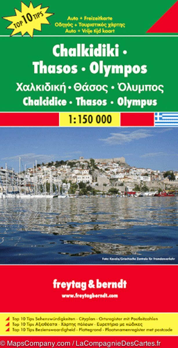
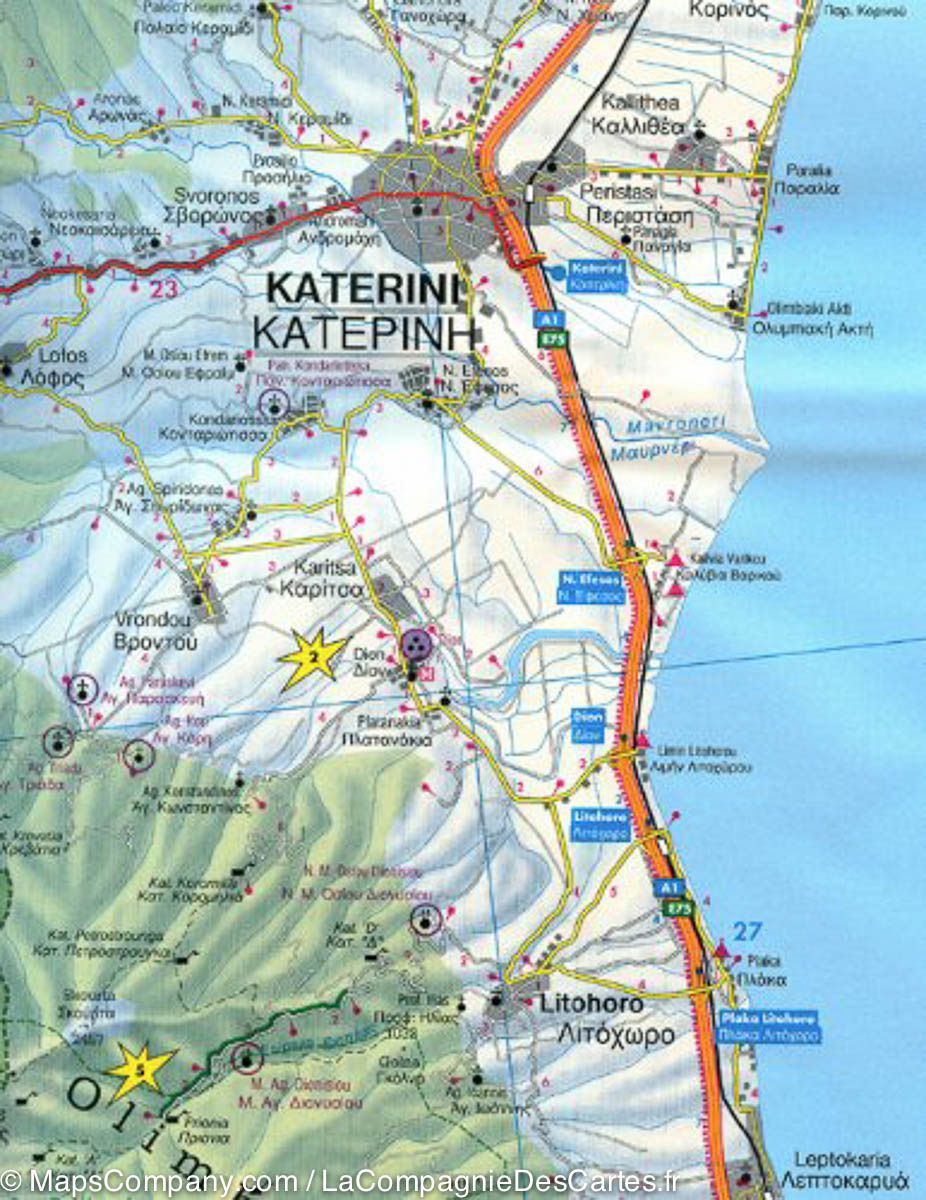
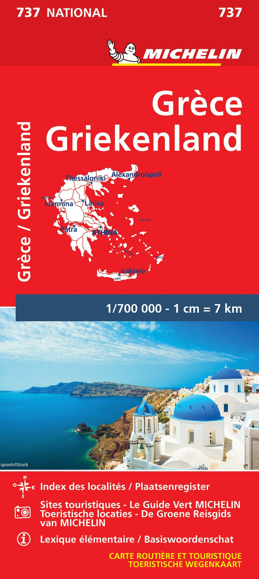
Carte routière - Chalcidique, Thassos & Mont Olympe (Grèce) | Freytag & Berndt carte pliée Freytag & Berndt

Road Map - Chalkidic, Thassos & Mount Olympus (Greece) | Freytag & Berndt

Road Map - Chalkidic, Thassos & Mount Olympus (Greece) | Freytag & Berndt

Regular price $15.00
/
  • Shipping within 24 working hours from our warehouse in France
  • Delivery costs calculated instantly in the basket
  • Free returns (*)
  • Real-time inventory
  • In stock, ready to ship
  • Backordered, shipping soon
Tax included.

Road Map of the Chalkidic Peninsula, the island of Thassos and Mount Olympus (Greece) published by Freytag & Amp Berndt. Scale 1: 150,000 (1 cm = 1.5 km).

Enhancement of points of interest (sites to see, national parks ...).

Relief mapping. The distances are indicated on the map. A booklet, attached to the map, gives brief descriptions of the 10 most important sites in the region. Index of cities included.

Street map of the thessaloniki center also provided with this map. Multilingual legend (French, English, German, Italian, Spanish ...).


ISBN/EAN : 9783707912876
Publication date: 2018
Scale: 1/150,000 (1cm=1.5km)
Printed sides: front
Folded dimensions: 26x13cm
Unfolded dimensions: 136 x 96cm
Language(s): multilingual including French
Poids : 198 g

Customer Reviews

Based on 2 reviews
50%
(1)
50%
(1)
0%
(0)
0%
(0)
0%
(0)
J
Jean-Guy D. (La Rochelle, FR)
produit retourné

Produit non utilisé car arrivé trop tard après notre départ

d
dominique
dommage que le livret d'accompagnem ...

dommage que le livret d'accompagnement ne soit pas en français juste en grec , allemand anglais et italien