For each country:
a description of the natural environment;
the country's identity card: area, population, capital, nature of the State and government, political and administrative organization, languages, currency;
demographic data: density, urban population, age structure, birth rate, mortality rate, life expectancy;
economic data: GNI, growth, inflation, structure of the active population, structure of GDP, unemployment, tourism, foreign trade, defense, standard of living;
historical landmarks.
Up-to-date data and maps
196 country files enriched with a large amount of statistical data;
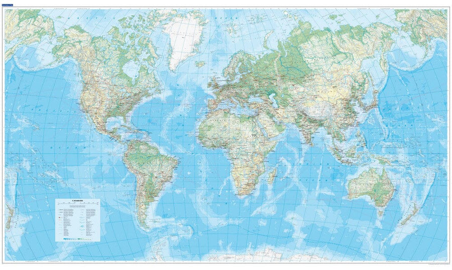
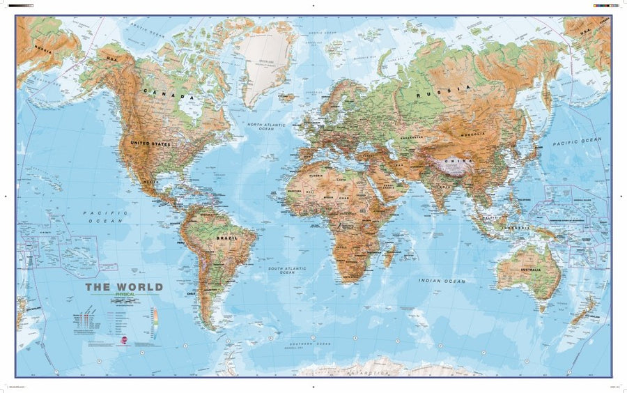
a political planisphere;
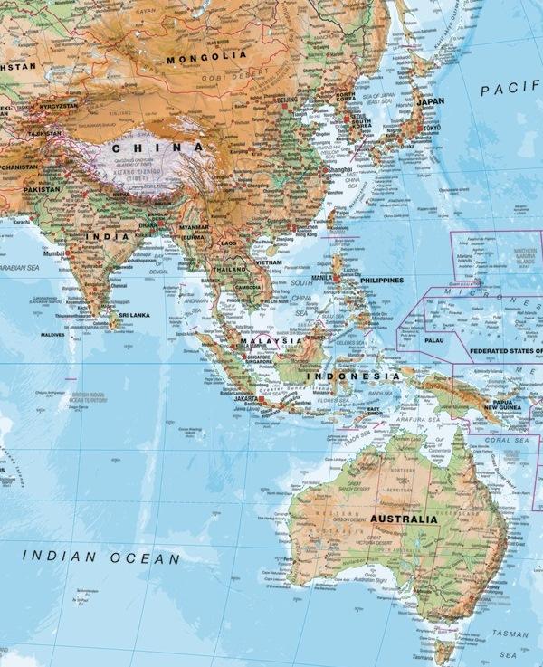
153 geographical maps of the countries of the world;
34 thematic planispheres;
60 graphics;
maps of the Regions of France reorganized according to the new territorial reform and 15 maps of overseas territories;
8 maps of continents and major geographic regions;
a planisphere of time zones;
a glossary of the main concepts used;
a 32-page index of 15,000 entries.
The Socio-Economic Atlas of the Countries of the World will be useful to all those, adults, pupils, students, who need to quickly find essential data – geographical and economic, but also historical – on each country of the world.