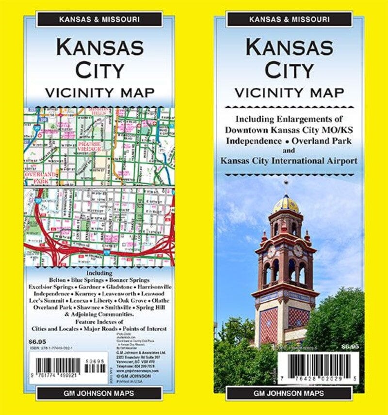
Carte régionale - Kansas City et environs (Missouri) | GM Johnson carte pliée GM Johnson

Regional Map - Kansas City and Surrounding Areas (Missouri) | GM Johnson

Price
Regular price $7.00
Regular price Sale price $7.00
Save $-7
/
  • Shipping within 48 business hours from our warehouse in the USA. For this product, customs fees may be requested by the carrier upon delivery.
  • Delivery costs calculated instantly in the basket
  • Free returns (*)
  • Real-time inventory
  • In stock, ready to ship
  • Backordered, shipping soon
Tax included.

Often purchased together:

Map coverage area
Including enlargements of:
Downtown Kansas City MO/KS, Independence, Overland Park and Kansas City International Airport.

Including :
Belton, Blue Springs, Bonner Springs, Excelsior Springs, Gardner, Gladstone, Harrisonville, Independence, Kearney, Leavenworth, Leawood, Lee's Summit, Lenexa, Liberty, Oak Grove, Olathe, Overland Park, Shawnee, Smithville, Spring Hill and adjacent communities.

Index of features: cities and towns, main roads, points of interest


ISBN/EAN : 9781774490921
Publication date: 2021
Folded dimensions: 9 x 4"
Language(s): English
Weight: 60 g

Customer Reviews

Be the first to write a review
0%
(0)
0%
(0)
0%
(0)
0%
(0)
0%
(0)
More from Missouri
Manèges d'une vie : Route historique 66 | MAD Maps carte pliée MAD Maps
Rides of a Lifetime: Historic Route 66 | MAD Maps
MAD Maps
$18.00
Plan des rues - Saint-Louis, Missouri | GM Johnson carte pliée GM Johnson
Street Map - St. Louis, Missouri | GM Johnson
GM Johnson
$8.00
Kansas City, Missouri | GM Johnson carte pliée GM Johnson
Kansas City, MO | GM Johnson
GM Johnson
$8.00