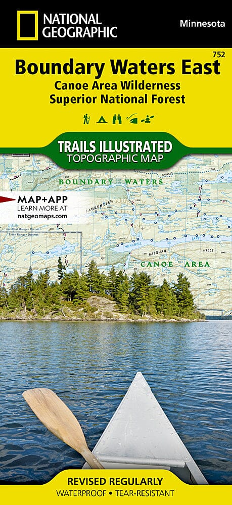
Trails Map of Boundary Waters East - Canoe Area Wilderness (Minnesota), # 752 | National Geographic carte pliée National Geographic

Hiking map No. 752 - Boundary Waters East - Canoe Area Wilderness (Minnesota) | National Geographic

Price
Regular price $17.00
Regular price Sale price $17.00
Save $-17
/
  • Shipping within 48 business hours from our warehouse in the USA. For this product, customs fees may be requested by the carrier upon delivery.
  • Delivery costs calculated instantly in the basket
  • Free returns (*)
  • Real-time inventory
  • In stock, ready to ship
  • Backordered, shipping soon
Tax included.

Often purchased together:

Boundary Waters East (Minnesota) trail map published by National Geographic
. Visitors to the water-rich Boundary Waters Canoe Area Wilderness can enjoy solitude and primitive recreation in a region where early Native Americans, missionaries, and explorers once traveled. Expertly researched and created in partnership with local land management agencies, the National Geographic Trails Illustrated map of Boundary Waters East is a valuable tool for exploring this region of the Superior National Forest. Key points of interest featured on this map include Eagle Mountain, Lake Isabella State Forest, Chik-Wauk Museum Nature Center, the Kekekabic and Border Route Trails, and the Gunflint Trail National Scenic Byway. Designed for a wide range of visitors, this map features detailed and easy-to-read hiking, biking, snowmobiling, cross-country skiing, and snowshoeing trails, as well as portages, a detailed road network, and contact information for local agencies. Boaters will appreciate the information on boat horsepower restrictions and a distance conversion chart. Campgrounds, beach and swimming access, interpretive trails, fishing areas, boat ramps, and portage access areas are other useful recreational features. The basemap includes contour lines and elevations for peaks, passes, and many lakes.
Other features found on this map include: Boundary Waters Canoe Area Wilderness, Eagle Mountain, Mount Kelso, Misquah Hills, Saganaga Lake, and Superior National Forest.
A complete UTM grid is printed on the map to aid in GPS navigation.
This topographic map is waterproof and tear-resistant.
Scale 1:70,000.


ISBN/EAN : 9781566955027
Publication date: 2020
Scale: 1/70,000 (1 cm = 700 m)
Printed sides: both sides
Folded dimensions: 9.45 inches x 4.330 inches (24 x 11 cm)
Unfolded dimensions: 37.01 x 24.8 inches (94 x 63cm)
Waterproof: oui
Tear resistant: oui
Language(s): English
Weight: 100 g

Customer Reviews

Be the first to write a review
0%
(0)
0%
(0)
0%
(0)
0%
(0)
0%
(0)