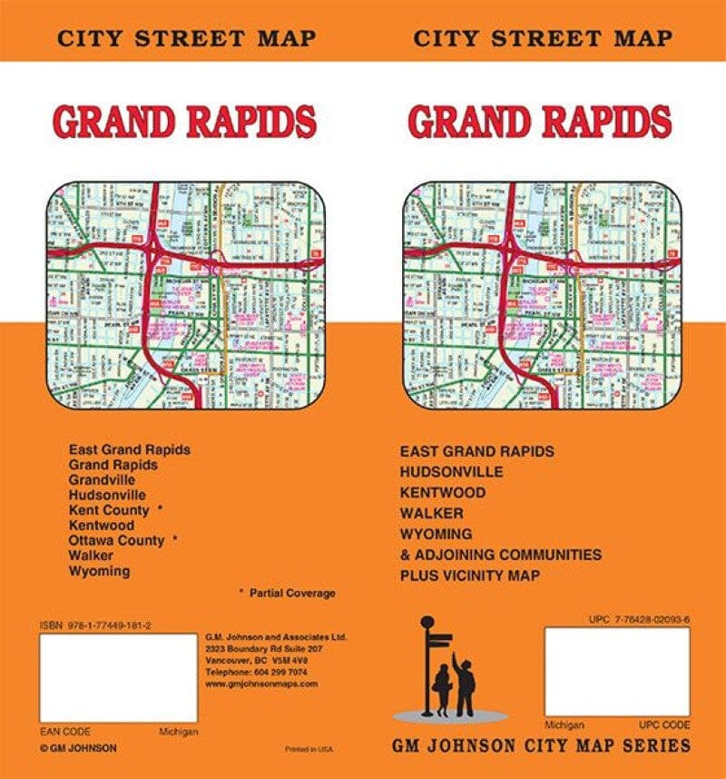
Plan des rues - Grand Rapids | GM Johnson carte pliée GM Johnson

Street Map - Grand Rapids | GM Johnson

Price
Regular price $8.00
Regular price Sale price $8.00
Save $-8
/
  • Shipping within 48 business hours from our warehouse in the USA. For this product, customs fees may be requested by the carrier upon delivery.
  • Delivery costs calculated instantly in the basket
  • Free returns (*)
  • Real-time inventory
  • In stock, ready to ship
  • Backordered, shipping soon
Tax included.

Often purchased together:

Map coverage area
East Grand Rapids, Grand Rapids, Grandville, Hudsonville, Kentwood, Walker, Wyoming, Ottawa County*, Kent County*, *partial coverage


ISBN/EAN : 9781774491812
Publication date: 2024
Folded dimensions: 9.06 x 4.33"
Language(s): English
Weight: 62 g

Customer Reviews

Be the first to write a review
0%
(0)
0%
(0)
0%
(0)
0%
(0)
0%
(0)
More from Michigan
Carte régionale de Détroit | Rand McNally carte pliée Rand McNally
Detroit Regional Map | Rand McNally
Rand McNally
$9.00
Carte régionale - Traverse City & Région | GM Johnson carte pliée GM Johnson
Regional Map - Traverse City & Area | GM Johnson
GM Johnson
$8.00
Carte de l'État du Michigan | GM Johnson carte pliée GM Johnson
Michigan State Map | GM Johnson
GM Johnson
$7.00