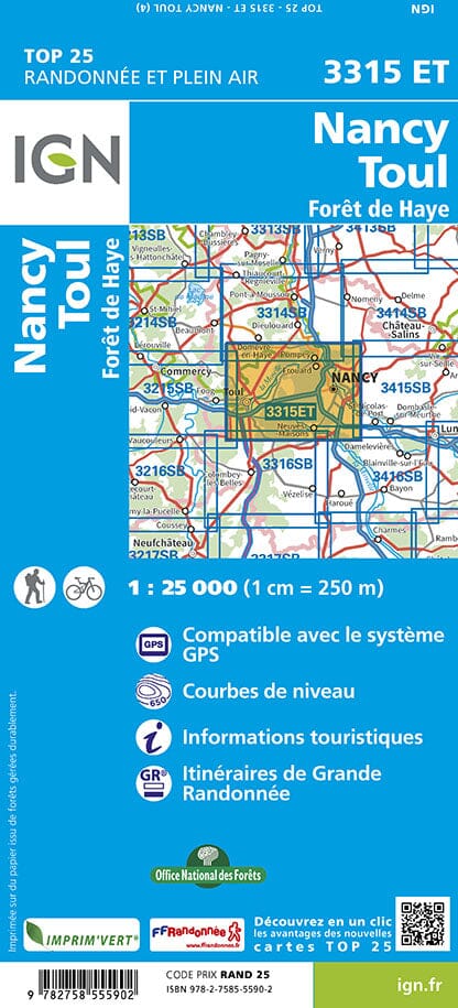


TOP 25 Map No. 3315 ET - Nancy, Toul & Forêt de Haye | IGN
Regular price
$17.00
Regular price
Sale price
$17.00
Save $-17
/
- Shipping within 24 working hours from our warehouse in France
- Delivery costs calculated instantly in the basket
- Free returns (*)
- Real-time inventory
- Low stock - 2 items left
Related geographic locations and collections: East France hiking maps - IGN TOP 25 & SÉRIE BLEUE, France hiking maps - IGN TOP 25 & SÉRIE BLEUE, Great East, Meurthe-et-Moselle (department 54), Nancy