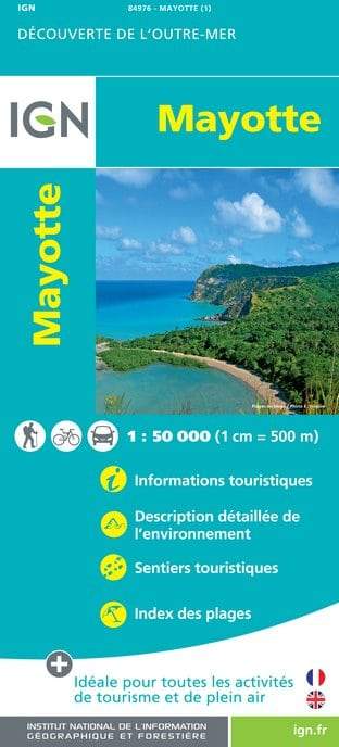
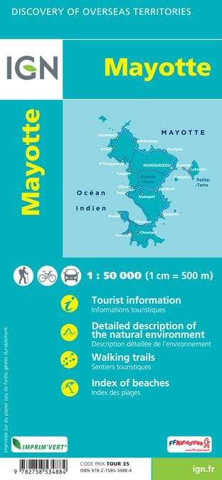
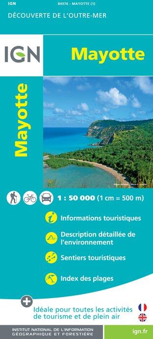
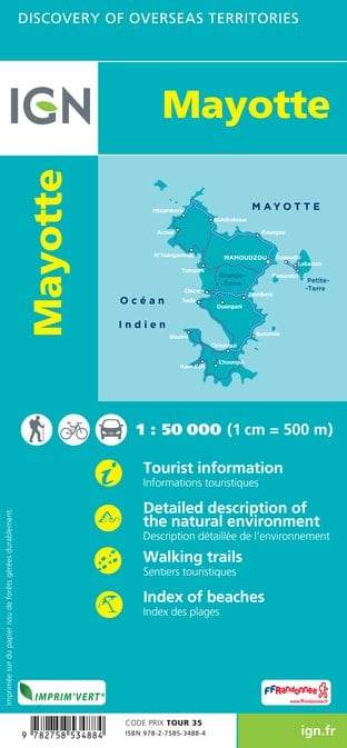
MAYOTTE Road map published by IGN. Relief mapping. Curves of levels spaced 20 m.
Indication of nature reserves. Tourist information included (local markets, crafts, interesting sites) and information on outdoor activities (surfing, scuba diving, etc ...).
Scale 1/50 000 (1 cm = 500 m).
ISBN/EAN : 9782758534884
Publication date: 2016
Scale: 1/50,000 (1cm=500m)
Printed sides: front
Folded dimensions: 11x24cm
Unfolded dimensions: 144 x 92cm
Language(s): French, English, German
Weight:
90 g


