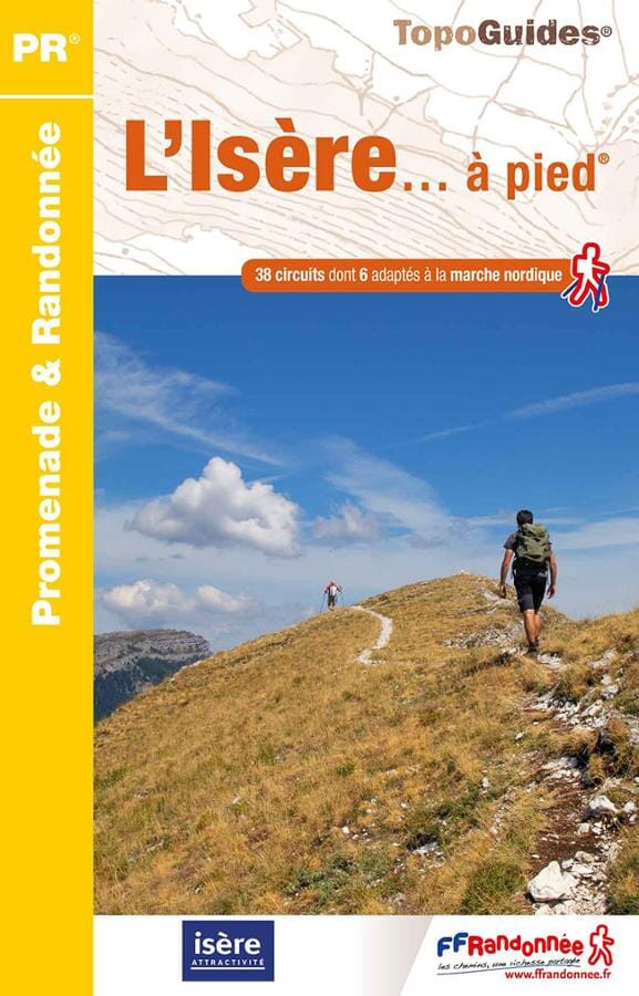
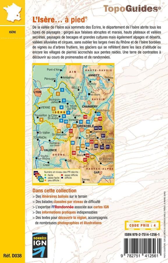
Topoguide de randonnée - L'Isère à pied | FFR guide petit format FFR - Fédération Française de Randonnée

Hiking Topoguide - L'Isere on foot | FFR (French)

Hiking Topoguide - L'Isere on foot | FFR (French)

Regular price $18.00
/
  • Shipping within 24 working hours from our warehouse in France
  • Delivery costs calculated instantly in the basket
  • Free returns (*)
  • Real-time inventory
  • In stock, ready to ship
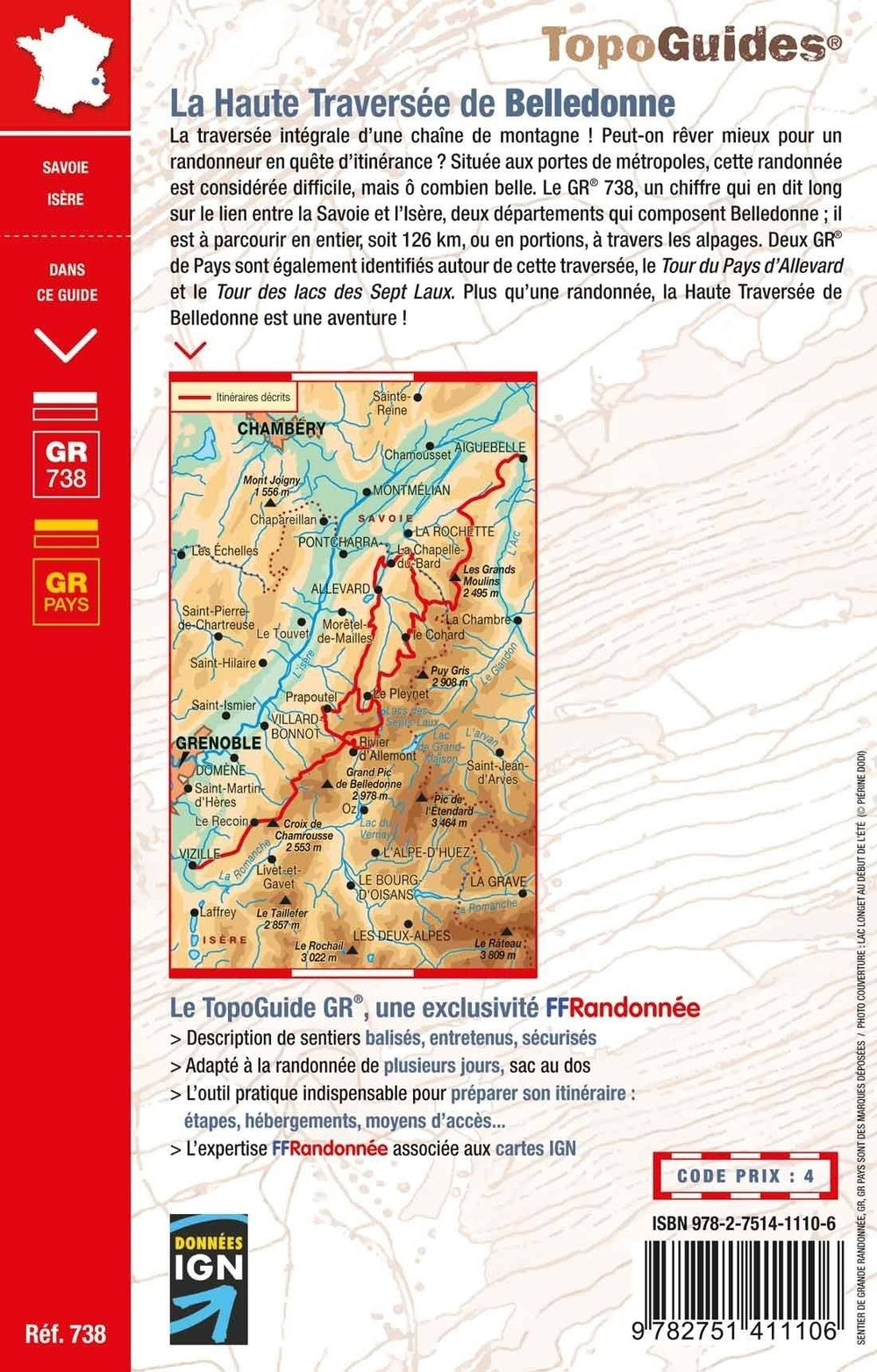
  • Backordered, shipping soon
Tax included.

Topoguide of the "walk & amp, hiking" collection to discover the isère on foot.

Parks and natural sites in the Massifs de Belledonne, Vercors, Ecrins ... A land of contrasts to discover during walks and hiking.
of the valley of the Isère (135 meters above sea level) at the top of the bar of the Ecrins (4 102 meters above sea level), the department of the Isère lists all types of landscapes: Gorges with steep cliffs and swamp, high trays and valleys, landscapes of groves and crops but also alpine and deserts, alluvial valleys and circuses, not to mention the broad shores of the Rhone and the Isère lined with vineyards or fruit trees, the glaciers which are reflected in the lakes of altitude or the villages of stones hanging on the steep slopes.


ISBN/EAN : 9782751412561
Publication date: 2023
Pagination: 96 pages
Folded dimensions: 21x13cm
Language(s): French
Poids : 150 g

Customer Reviews

No reviews yet
0%
(0)
0%
(0)
0%
(0)
0%
(0)
0%
(0)