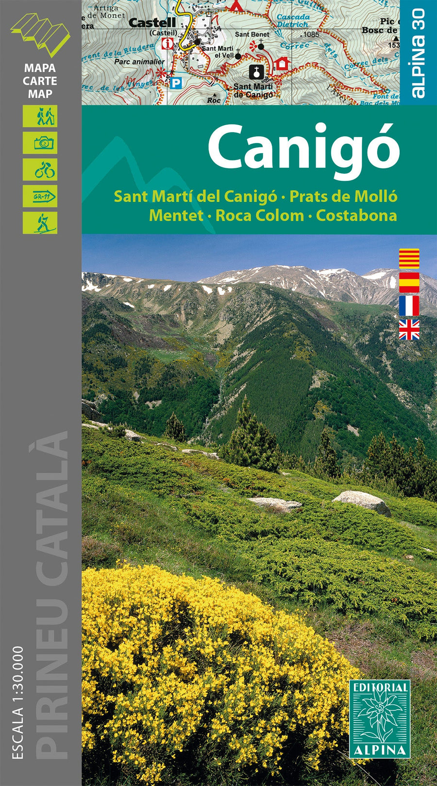
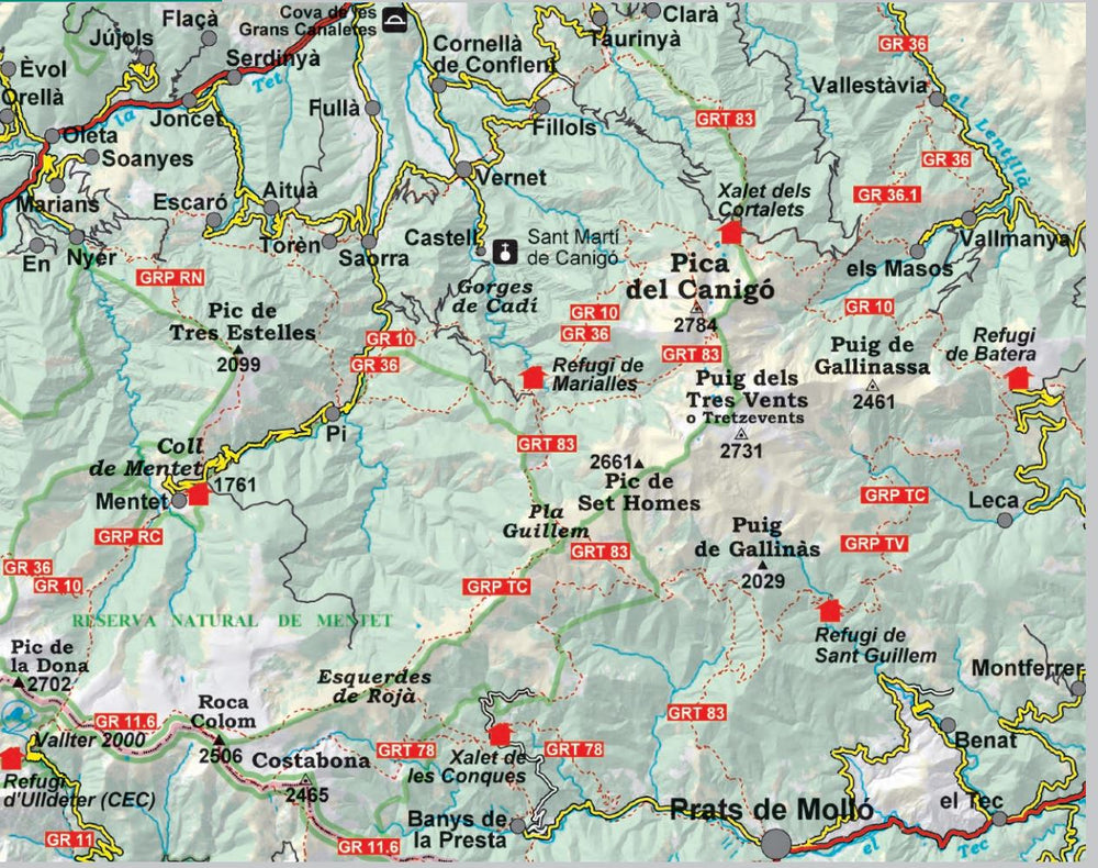
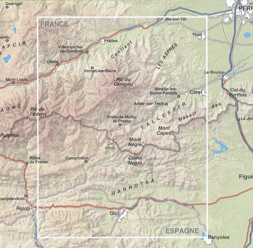
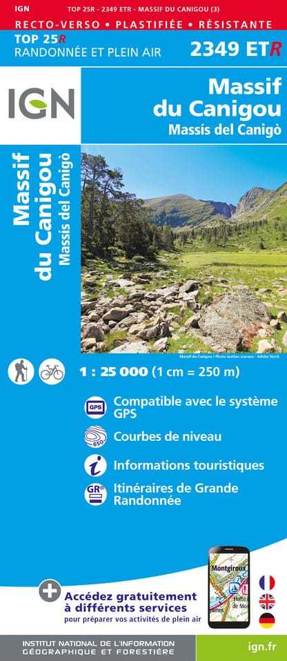
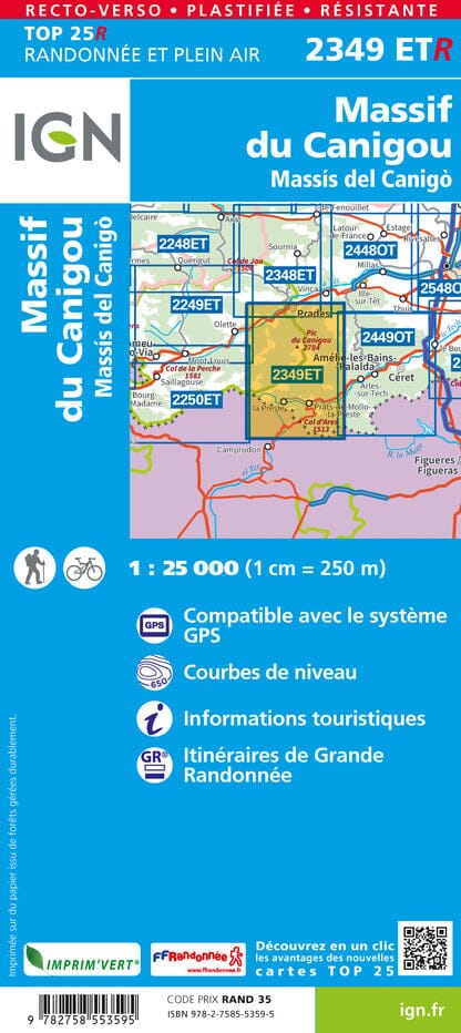
Hiking map - Canigou, Sant Marti del Canigo, Prats de Mollo, Mentet (Catalan Pyrenees) | Editorial Alpina
Regular price
$18.00
Regular price
Sale price
$18.00
Save $-18
/
- Shipping within 24 working hours from our warehouse in France
- Delivery costs calculated instantly in the basket
- Free returns (*)
- Real-time inventory
- In stock, ready to ship
Related geographic locations and collections: Canigou massif, Catalan Pyrenees, Costabona, Editorial Alpina, Pyrenees