Delaware et Maryland, carte facile à lire | Rand McNally carte pliée Rand McNally

Delaware and Maryland, Easy-to-Read Map | Rand McNally

Price
Regular price $12.00
Regular price Sale price $12.00
Save $-12
/
  • Shipping within 48 business hours from our warehouse in the USA. For this product, customs fees may be requested by the carrier upon delivery.
  • Delivery costs calculated instantly in the basket
  • Free returns (*)
  • Real-time inventory
  • In stock, ready to ship
  • Backordered, shipping soon
Tax included.

Often purchased together:

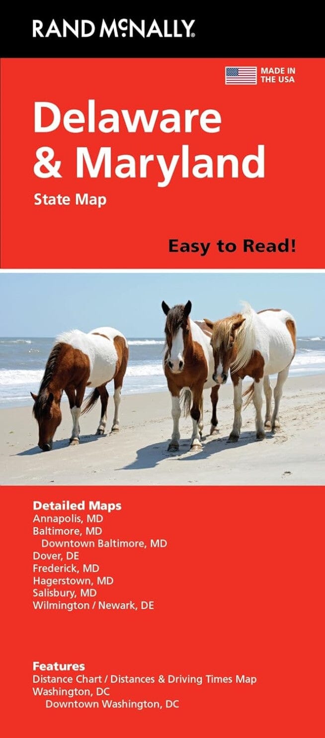
Map of Delaware and Maryland with legend. Insets of Hagerstown, Frederick, downtown Baltimore, Baltimore and environs, Annapolis, downtown Washington DC, and Washington DC and environs. The reverse map continues with insets of Dover, Wilmington, Newark, and Salisbury, along with distances and driving times. Indices of the city and county of Delware, the city and county of Maryland, and a distance table.


ISBN/EAN : 9780528028465
Publication date: 2022
Folded dimensions: 9.45 inches x 4.33 inches (24 x 11 cm)
Unfolded dimensions: 26.38 inches x 32.28 inches (67 x 82 cm)
Language(s): English
Weight: 60 g

Customer Reviews

Based on 1 review
100%
(1)
0%
(0)
0%
(0)
0%
(0)
0%
(0)
E
Edward L.
Great highway map ....even with a G...

Great highway map ....even with a GPS these are very helpful.