Cycling guide - from Paris to Mont - Saint - Michel by bike | Ouest France (French)

Price
Regular price $17.00
Regular price Sale price $17.00
Save $-17
/
  • Shipping within 24 working hours from our warehouse in France
  • Delivery costs calculated instantly in the basket
  • Free returns (*)
  • Real-time inventory
  • In stock, ready to ship
  • Backordered, shipping soon
Tax included.

Often purchased together:

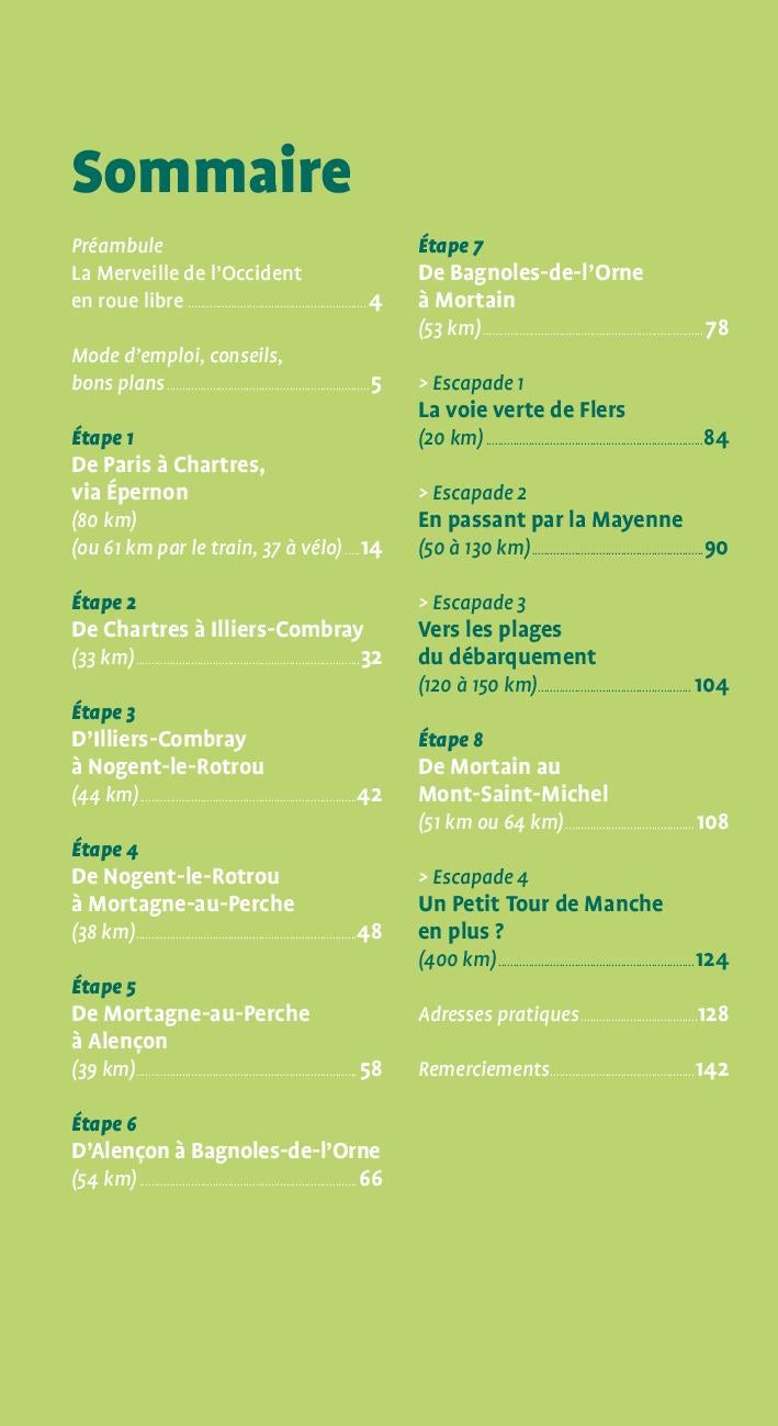
The indispensable guide to realize the Véloscenia, 440 kilometers from bike lanes to connect Paris and the island of France to the Bay of Mont - Saint - Michel via Chartres and Normandy.
Île de France at the " Wonder », Nearly 400 km of marked and secure slopes across the Yvelines, Eure - et - Loir, Orne, Mayenne and Channel.
- 28 detailed traveling maps
- 8 Steps of 30 to 60 km
- 3 Escapades in Mayenne, in the Orne, towards the beaches of the landing or on the other side of the sleeve
- All practical tips, addresses of renters, hotels, campsites , cottages and guest houses
- The great sites and the villages of charm (Rambouillet, Chartres, Carrouges, Bagnoles - de l'Oorne ...)
- The detours, the good plans and the best Halts
- The desires to leave Paris safely by bike (or even by train up to Epernon).


ISBN/EAN : 9782737386497
Publication date: 2022
Folded dimensions: 13.5 x 22cm
Language(s): French
Weight: 300 g

Customer Reviews

No reviews yet
0%
(0)
0%
(0)
0%
(0)
0%
(0)
0%
(0)
Carte départementale D50 - Manche | IGN carte pliée IGN
Departmental Map D50 - Channel | IGN
IGN
$7.00
Carte TOP 100 n° 106 - Caen, Cherbourg-en-Cotentin | IGN carte pliée IGN
Top 100 map # 106 - Caen, Cherbourg - en - Cotentin | IGN
IGN
$9.00
Guide du Routard - Normandie 2024/25 | Hachette guide de voyage Hachette
Guide du Routard - Normandy | Hachette (French)
Hachette
$17.00