Road and tourist map - Normandy | Michelin
Regular price
$10.00
Regular price
Sale price
$10.00
Save $-10
/
- Shipping within 24 working hours from our warehouse in France
- Delivery costs calculated instantly in the basket
- Free returns (*)
- Real-time inventory
- Low stock - 2 items left
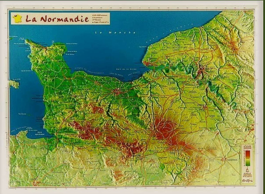
Related geographic locations and collections: Calvados (department 14), Eure (department 27), Manche (department 50), New products, Normandy, Orne (department 61), Seine-Maritime (department 76)