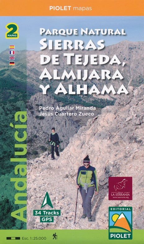
Set of 2 hiking maps of the Sierras de Tejeda, Almijara, and Alhama (Andalusia).
Over 40,000 hectares of protected area with impressive natural wealth. The peaks, some over 2,000 m high, form a natural border between the provinces of Granada and Malaga.
The rugged and rugged landscapes make this region ideal for hikers of all levels. From a cultural perspective, the Muslim heritage is present throughout the region, with whitewashed villages scattered throughout. Salares is worth mentioning, with its Minaret Tower, an architectural gem.
The mapping of these mountains is presented on two 1:25,000-scale sheets, depicting all the Natural Park's routes, both long and short, and a selection of 34 itineraries that will allow you to explore every corner of the park in depth.
The Spanish publisher Editorial Piolet produces particularly detailed maps of Spain's subregions, suitable for hikers and mountain bikers. Traditionally, they began in the Barcelona region, but are increasingly expanding to other parts of Spain.
The maps feature a topographical background with contour lines, peaks, shadows on mountain ridges, roads and villages, hamlets, and even farms. They also mark some hiking trails, including GR and PR trails, the regional long-distance hiking trails. Other hiking trails are marked, but with the usual black lines instead of a striking color. Mountain bike routes are also marked on some maps, but this is the exception rather than the rule. The symbols indicate other useful things such as campsites, attractions, caves, etc.