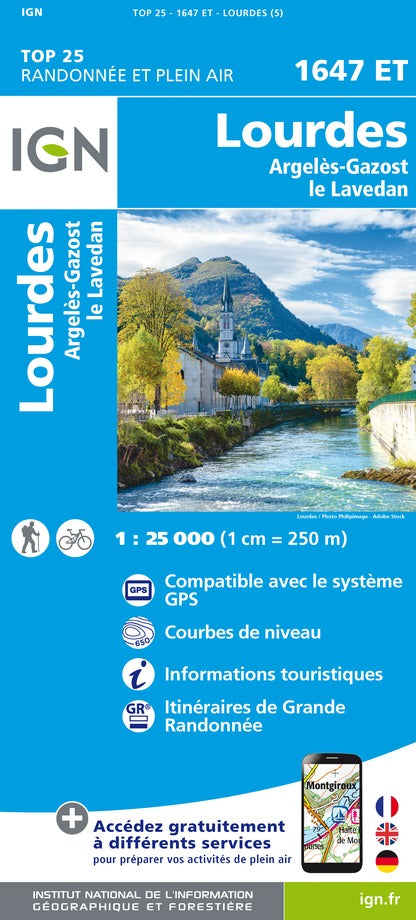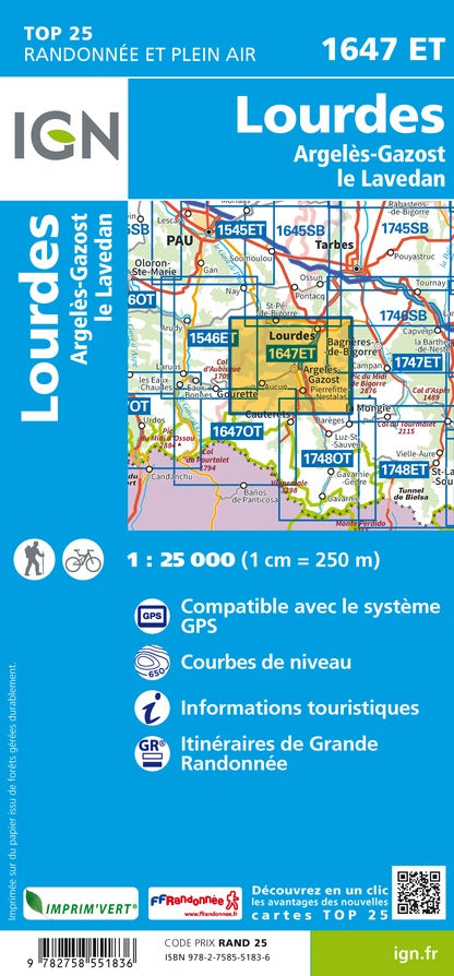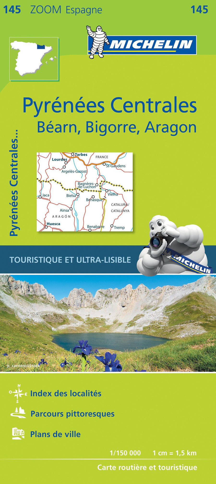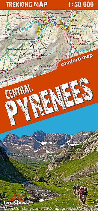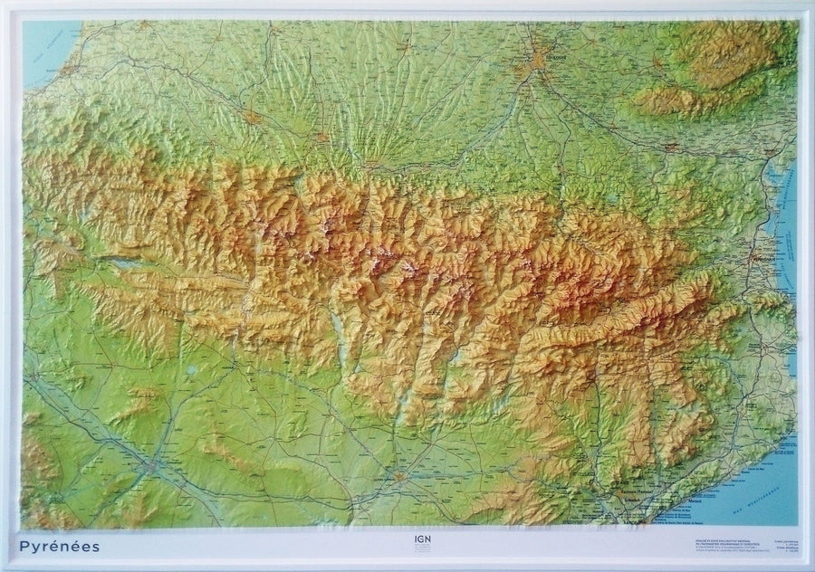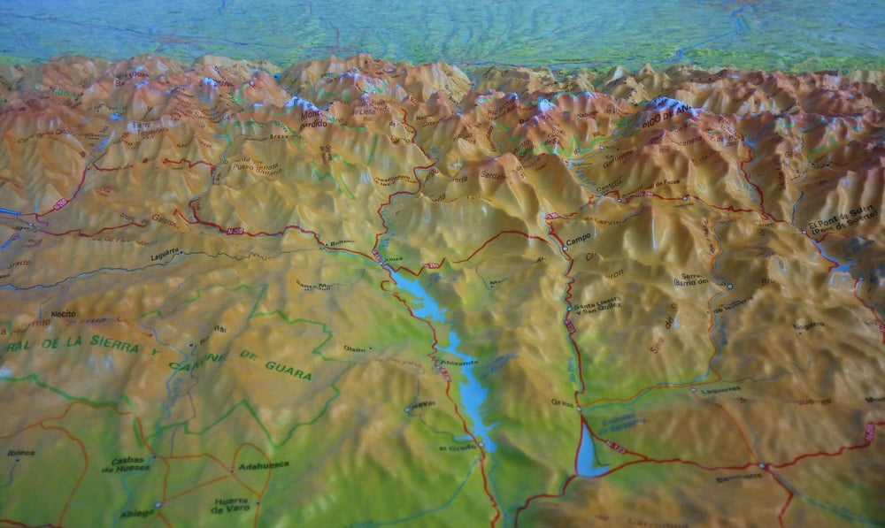
Pyrenees Longitude Zero | Rando Editions (French)
Regular price
$29.00
Regular price
Sale price
$29.00
Save $-29
/
- Shipping within 24 working hours from our warehouse in France
- Delivery costs calculated instantly in the basket
- Free returns (*)
- Real-time inventory
Related geographic locations and collections: Gavarnie, Lourdes, Pyrenees, Pyrenees - Hiking guides, Pyrenees General, Rando Editions, Travel guides & practical guides