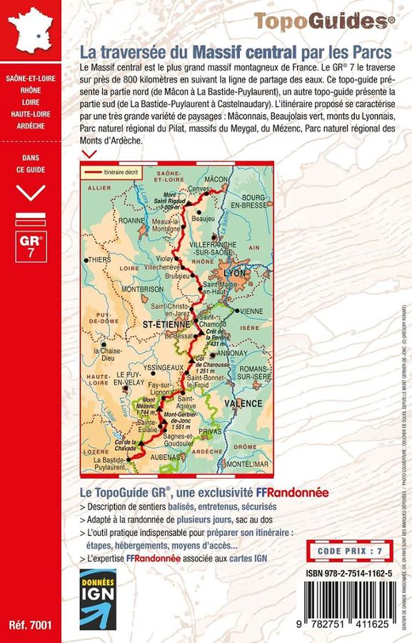


Hiking guidebook - Crossing the Massif Central through the parks - GR7 | FFR
Regular price
$22.00
Regular price
Sale price
$22.00
Save $-22
/
- Shipping within 24 working hours from our warehouse in France
- Delivery costs calculated instantly in the basket
- Free returns (*)
- Real-time inventory
- Low stock - 2 items left
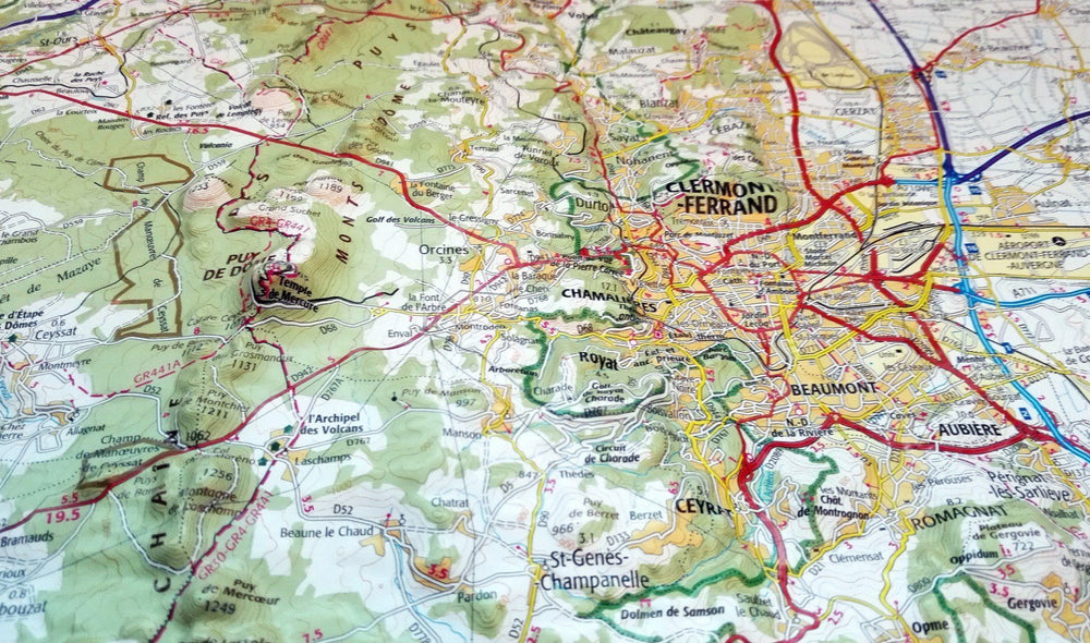
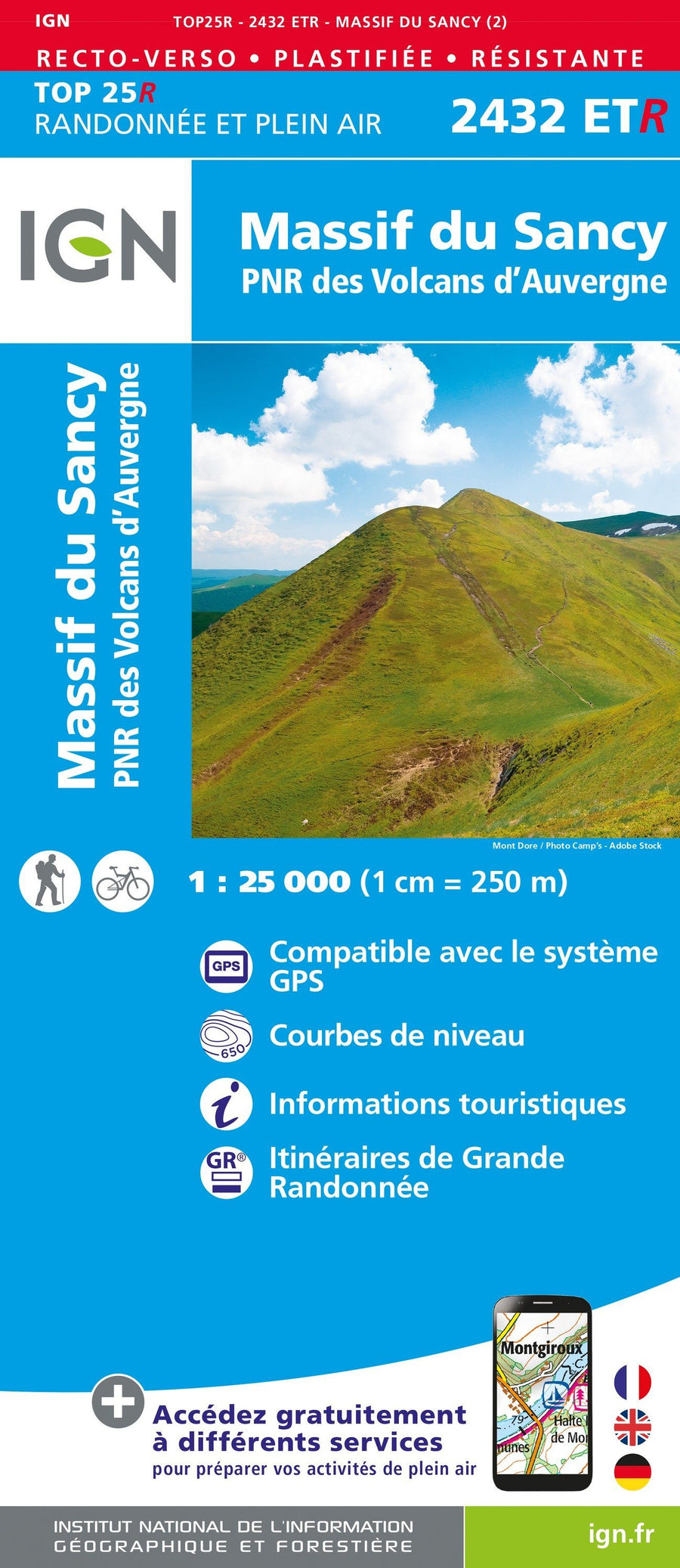
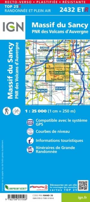
Related geographic locations and collections: Ardèche (department 07), Beaujolais, Haute-Loire (department 43), Loire (department 42), Massif Central, Pilat Massif, Rhône (department 69), Travel guides & practical guides