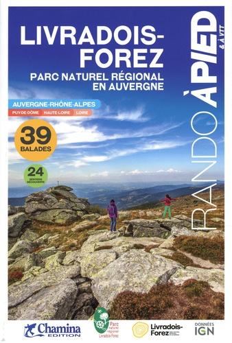
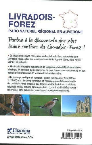
Hiking guide - Livradois - Forez, on foot and ATV | Chamina (French)

Price
Regular price $17.00
Regular price Sale price $17.00
Save $-17
/
  • Shipping within 24 working hours from our warehouse in France
  • Delivery costs calculated instantly in the basket
  • Free returns (*)
  • Real-time inventory
  • Low stock - 2 item left
  • Backordered, shipping soon
Tax included.

Often purchased together:

New edition completely updated, in partnership with the Livradois - Forez Regional Nature Park.
This very complete guide allows to discover the Many hiking trails quadrifying the park, whose surface covers three departments: Puy - de - Dôme, Loire and Haute - Loire.
The book offers small hiking circuits As well as the paths discovered, mostly denied pedagogical panels.
Chamina gets a new look: new coverage and interior presentation! A cultural presentation of Livradois - Forez: Geology, Natural Environment, History and Traditions, Architecture, Economy ... 36 Little Hiking Trails and 27 Variable Length Discovery Trails for Family & Sports Practice
< Span> Cartography on the background IGN 1: 25 000 to easily find
Interest details Practical information and useful addresses.


ISBN/EAN : 9782844665294
Publication date: 2020
Folded dimensions: 21x14cm
Language(s): French
Weight: 273 g

Customer Reviews

No reviews yet
0%
(0)
0%
(0)
0%
(0)
0%
(0)
0%
(0)
Guide du Routard - Loire | Hachette guide de voyage Hachette
Guide du Routard - Loire | Hatchet
Hachette
$15.00
Carte départementale n° 327 - Loire & Rhône | Michelin carte pliée Michelin
Departmental Map # 327 - Loire & Rhône | Michelin (French)
Michelin
$8.00
Carte départementale - Loire & Haute-Loire | IGN carte pliée IGN
Departmental Map D42 - 43 - Loire & Haute - Loire | IGN
IGN
$7.00
Carte murale en relief - Parc du Pilat & Monts du Lyonnais - 41 cm x 61 cm | 3D Map carte relief 3D Map
3D Raised relief map - Pilat & Lyonnais Mountains Park (41 cm x 61 cm) | 3D Map (French)
3D Map
$44.00