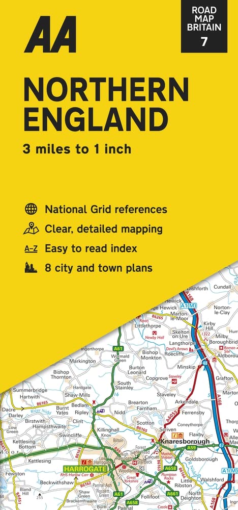
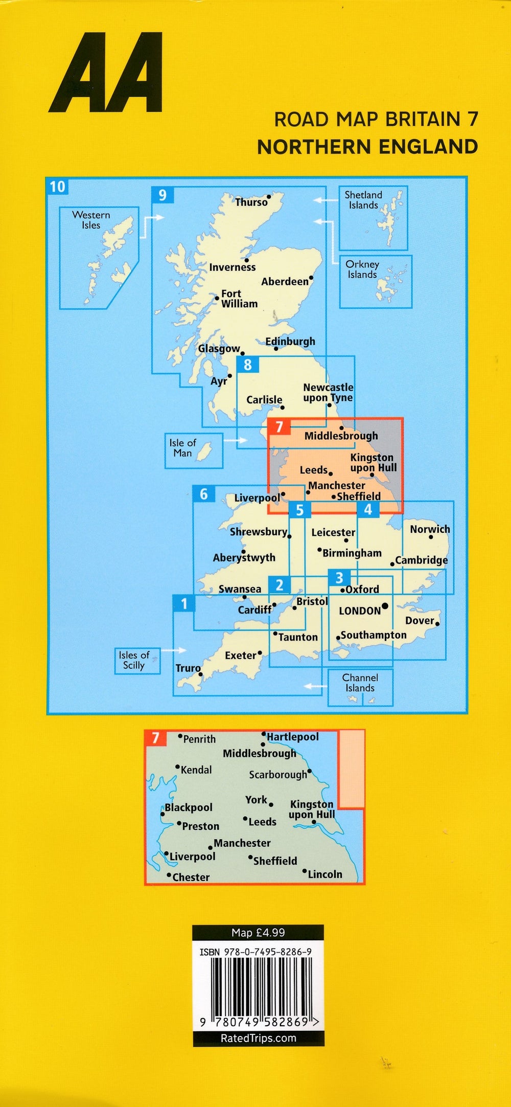
Carte routière n° 7 - Angleterre Nord | AA Publishing carte pliée AA Publishing

Road Map # 7 - England Nord | AA Publishing

Road Map # 7 - England Nord | AA Publishing

Regular price $9.00
/
  • Shipping within 24 working hours from our warehouse in France
  • Delivery costs calculated instantly in the basket
  • Free returns (*)
  • Real-time inventory
  • Low stock - 1 item left
  • Backordered, shipping soon
Tax included.

Northern England map published by AA Publishing. Scale 1: 200 000 (1 cm = 2 km). This map highlights national parks and tourist areas.

The map shows tolls, service areas, road numbers, highways, wide and narrow pathways as well as local roads.

Campsites are geolocated on the map. National parks and places of interest are also highlighted.

Shots of Bradford, Harrogate, Lancaster, Leeds, Liverpool, Manchester, Scarborough, Sheffield and York included on the back. Index of the cities provided.


ISBN/EAN : 9780749582869
Publication date: 2022
Scale: 1/200,000 (1cm=2km)
Printed sides: both sides
Folded dimensions: 26 x 12 x 0.5cm
Unfolded dimensions: 105 x 91cm
Language(s): English
Poids : 90 g

Customer Reviews

Based on 2 reviews
50%
(1)
50%
(1)
0%
(0)
0%
(0)
0%
(0)
L
LAURENT L. (Rouen, FR)

Carte claire et facile à consulter.

M
Monsieur C.
Carte routière pratique et bien fai ...

Carte routière pratique et bien faite bien que l'on n'atteigne pas la qualité de nos cartes Michelin !