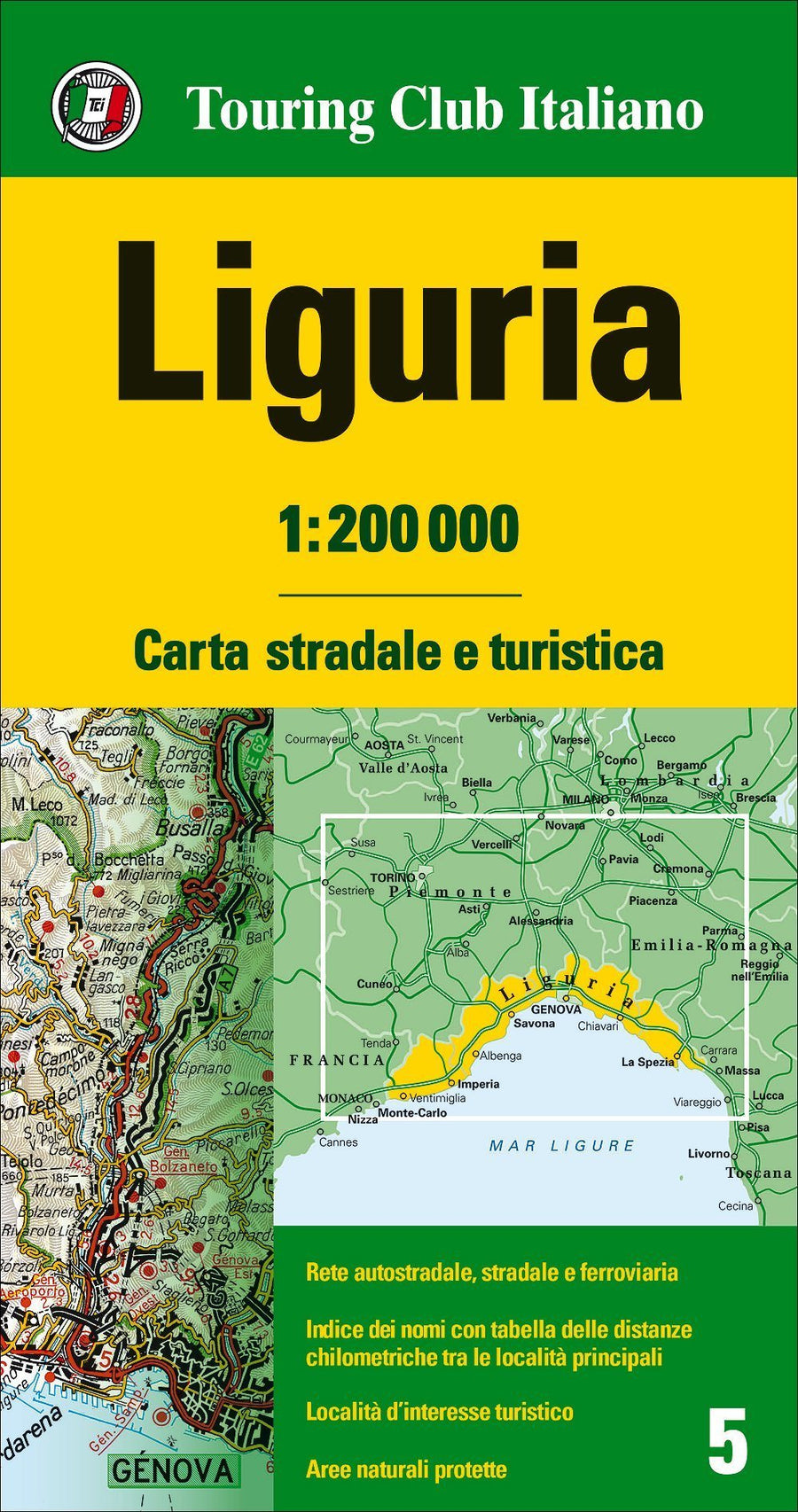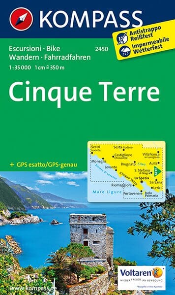
Carte de randonnée n° 2450 - Cinq Terres (Ligurie) | Kompass carte pliée Kompass

Hiking map No. 2450 - Cinque Terre (Liguria) | Kompass

Price
Regular price $11.00
Regular price $13.00 Sale price $11.00
Save $2
/
  • Shipping within 24 working hours from our warehouse in France
  • Delivery costs calculated instantly in the basket
  • Free returns (*)
  • Real-time inventory
  • In stock, ready to ship
  • Backordered, shipping soon
Tax included.

Often purchased together:

Hiking map of the Cinque Terre region published by Kompass. Scale 1:35,000 (1 cm = 350 m).

The Cinque Terre are one of the most famous hiking areas in Italy. From the coast, the mountains rise to 800 meters. Ancient trails lead through chestnut forests and rural farmland, many with fantastic sea views.
- The picturesque port towns of Liguria delight with colorfully painted houses on steep slopes, with narrow streets, good food and lively ports.
- The Cinque Terre National Park, a 12 km stretch of coastline between Monterossa al Mare and Portovenere, offers the ultimate Mediterranean hiking experience. Along the rugged coastline, you'll walk through vineyards and olive groves to five seaside villages.
- From La Spezia you can take excursions across the bay of the same name to the towns of Cinque Terre, Isola Palmaria and Portovenere. The landmark of the place is its Genoese fortress.
- The Parco di Montemarcello-Magra between Sesta Godano and Ameglia protects the lower reaches of the Magra, the middle part of the Val di Vara and the wooded and still very original Montemarcello mountain landscape.
- The green and rugged Val di Vara offers peace and solitude, medieval towns and villages on green hills, often crowned by an old castle.

Compass cards contain everything outdoor enthusiasts need to know.
These highly detailed maps show the topography of the land, indicate hiking and cycling trails, with markings according to difficulty level, contour lines and corresponding vegetation types as well as comprehensive tourist information.
Mountain bike trails are also highlighted, and symbols indicate campsites, youth hostels, mountain huts, selected hotels and remote inns, sports and recreational facilities, and a wide range of other places of interest.


ISBN/EAN : 9783850265973
Publication date: 2017
Scale: 1/35,000 (1cm=350m)
Printed sides: both sides
Folded dimensions: 11 x 19cm
Language(s): English, German, Italian
Weight: 116 g

Customer Reviews

Be the first to write a review
0%
(0)
0%
(0)
0%
(0)
0%
(0)
0%
(0)