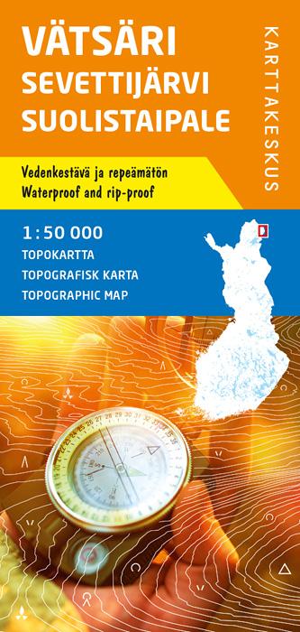
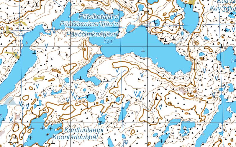
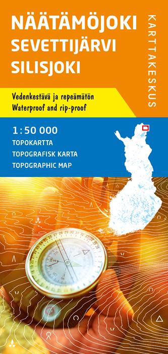
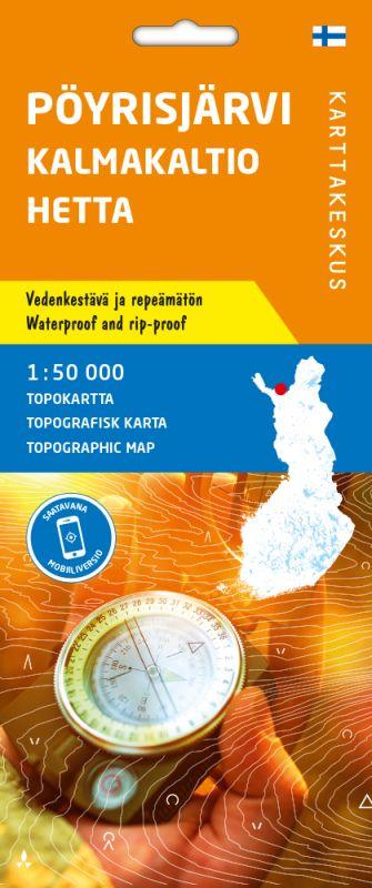
Carte de randonnée n° 12 - Vätsäri Sevettijärvi Suolistaipale (Laponie) | Karttakeskus carte pliée Karttakeskus

Hiking Map # 12 - Vätsäri Sevettijärvi Suolistaipal (Lapland) | Karttakeskus

Hiking Map # 12 - Vätsäri Sevettijärvi Suolistaipal (Lapland) | Karttakeskus

Regular price $27.00
/
  • Shipping within 24 working hours from our warehouse in France
  • Delivery costs calculated instantly in the basket
  • Free returns (*)
  • Real-time inventory
  • In stock, ready to ship
  • Backordered, shipping soon
Tax included.
Topographic Map of Lapland, printed on a waterproof material and resistant to tear. The map can withstand intensive use and folding, and will not tear - even in difficult conditions.
Mapping comes from the National Land Survey of Finland.

It shows the areas of edge and natural reserves accessible for free, with different symbols. The mapped area also continues in Norway and Sweden in border areas.

There are 12 maps in this series that covers all the Lapland at 1/50,000 scale.


ISBN/EAN : 9789522666390
Publication date: 2020
Scale: 1/50,000 (1cm=500m)
Printed sides: front
Folded dimensions: 11 x 23cm
Unfolded dimensions: 100x70cm
Language(s): English, Finnish
Poids : 80 g

Customer Reviews

No reviews yet
0%
(0)
0%
(0)
0%
(0)
0%
(0)
0%
(0)