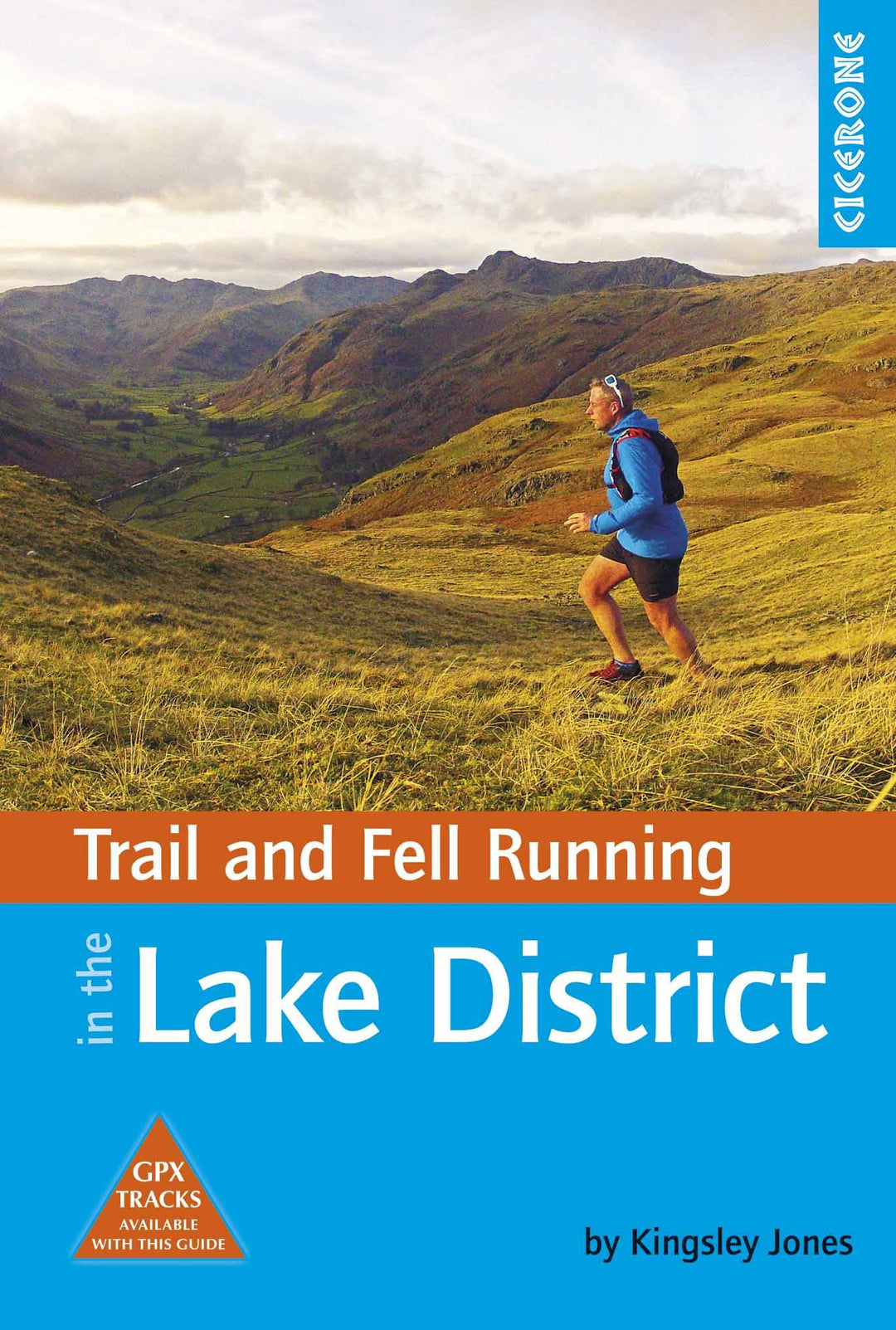
Guide de randonnées (en anglais) - Trail & Fell Running in the Lake District | Cicerone guide de randonnée Cicerone

Hiking guide - Trail & Fell Running in The Lake District | Cicerone

Price
Regular price $21.00
Regular price Sale price $21.00
Save $-21
/
  • Shipping within 24 working hours from our warehouse in France
  • Delivery costs calculated instantly in the basket
  • Free returns (*)
  • Real-time inventory
  • Low stock - 2 item left
  • Backordered, shipping soon
Tax included.

Often purchased together:

Topoguide (in English) of the Cicerone publisher.
Description Provided by the publisher:
Guide to 40 of the Best Trail, Fell and Skyrunning Roads in the Lake District, Including Helvellyn Skyline and Scafell Pike Direct. Highlights Include Recies of Cumbria's Best Ultra and Fell Race Roads Including The Langdale Horseshoe and Borrowdale. Includes Info On The History of Fell Running, Races and Adapting for The Fells.
Seasons: THESE TRAIL AND FELL RUNS CAN BE BE TACKLED THROUGHOUT The Year, Though The Most Popular Season Is from Spring Through to Autumn.
Centers: Ambleside, Windermere, Coniston, Eskdale, Borrowdale, Keswick, Buttermere, Dockray, Glenridding, Threlkeld and Rosthwaite.
Difficulty: Each Route Has Been Carefully Graded to Indicate The Style of Running Land, from Wide Trails, to Single Track, Gold Technical Skyrunning. This ensoises you Select a road that suits your experience and aspirations. In Addition To The Technical Grade, Distance, Height Gain / Loss, and Timings Are Provided. MUST SEE: Explore Some of the Classic Mountain Running Regions Around The Lake District, The Birthplace of Fell Running. Highlights include The Roads of Some of the Most Famous Fell races in the National Park Including Langdale Horseshoe and Borrowdale Fell races.


ISBN/EAN : 9781852848804
Publication date: 2017
Folded dimensions: 12 x 17cm
Language(s): English
Weight: 271 g

Customer Reviews

No reviews yet
0%
(0)
0%
(0)
0%
(0)
0%
(0)
0%
(0)
More from Lake District
Carte de randonnée n° OL006 - English Lakes - South Western area (Grande Bretagne) | Ordnance Survey - Explorer carte pliée Ordnance Survey
Hiking map # OL006 - English Lakes - South Western Area (Great Britain) | Ordnance Survey - Explorer
Ordnance Survey
from $21.00
Guide de randonnées (en anglais) - Lake District (Angleterre) | Ordnance Survey - Pathfinder guides guide de randonnée Ordnance Survey
Hiking guide - Lake District (England) | Ordnance Survey - Pathfinder Guides
Ordnance Survey
$20.00
Carte de randonnée n° OL007 - English Lakes - South Eastern area (Grande Bretagne) | Ordnance Survey - Explorer carte pliée Ordnance Survey
Hiking map # OL007 - English Lakes - South Eastern Area (Great Britain) | Ordnance Survey - Explorer
Ordnance Survey
from $21.00
Carte de randonnée n° OL005 - English Lakes - North Eastern area (Grande Bretagne) | Ordnance Survey - Explorer carte pliée Ordnance Survey
Hiking map # OL005 - Français Lakes - North Eastern Area (Great Britain) | Ordnance Survey - Explorer
Ordnance Survey
from $21.00