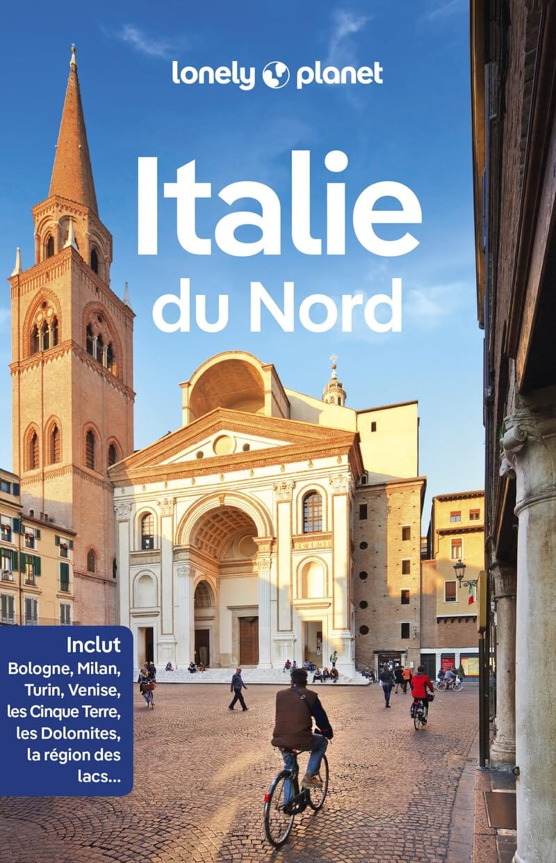
Topoguide (in English) of the Cicerone publisher who presents 30 hikes in the Lakes of Como and Major (Italy) region.
Description provided by the publisher: Picturesque Lago Maggiore has Been Working ITS Magic on Writers and Visitors for Centuries. Blastd with a Mild Close climate and Delightful Position Close To The Alps, IT Attracts Flocks of Adrusts to ITS Shores and Islands Adored With Sumptuous Villas and Gorgeous Ornamental Gardens, A Legacy of the Late Renaissance. Ever Magnificent, The Splendours of Lago di Como Were Broadcast by The Likes of Pliny and Strabone Back in Ancient Roman Times. Overseas Visitors Are Attracted by The Breathtaking Scenery and Romantic Atmosphere, Increased by The Host of Villas and Superb Gardens, Where Pretty Camellias and Rhododendrons Spill Over Terraces.
this guidebook Describes 30 walks Around Lakes como and maggiore in Northern Italy. The Routes Range From 3 to 20km in Length and Are Graded 1 to 3. There is Something for Everyone, from Easy Leisurely Strolls for First - Time Walkers to Strenuous Climbs Up Panoramic Peaks. The Clear Maps, Inspirational Photographs and Information About Accommodation and Public Transport Options Help to make this guidebook AN IDEAL Companion to Exploring The Exceptional Scenery, Views and Culture of the Italian Lakes. A Basic English - Italian Glossary is Also included.
ISBN/EAN : 9781786311689
Publication date: 2023
Pagination: 192 pages
Folded dimensions: 12 x 17cm
Language(s): English
Weight:
220 g


