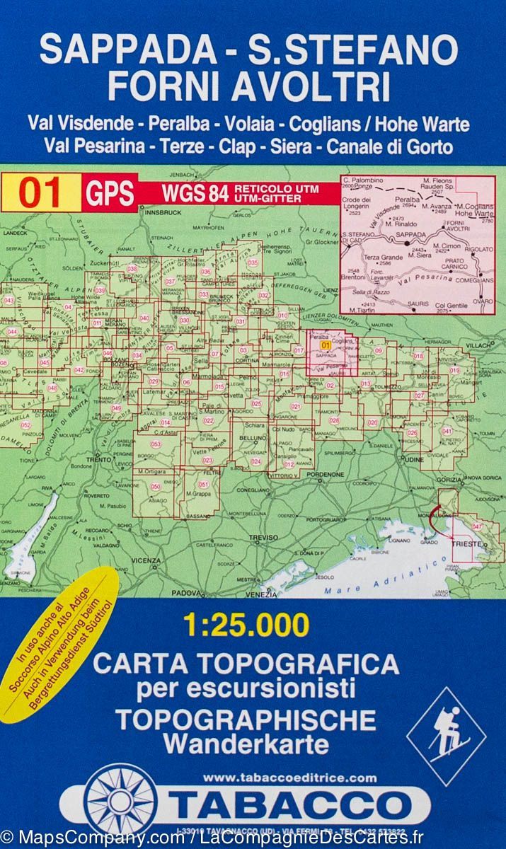
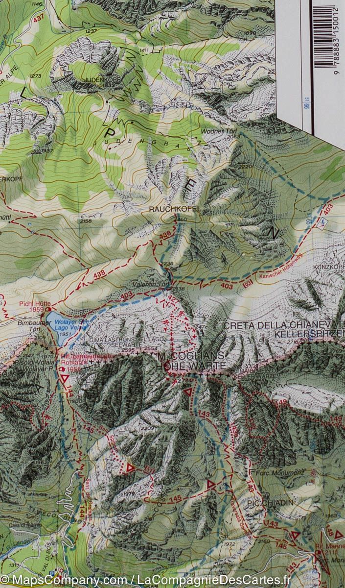
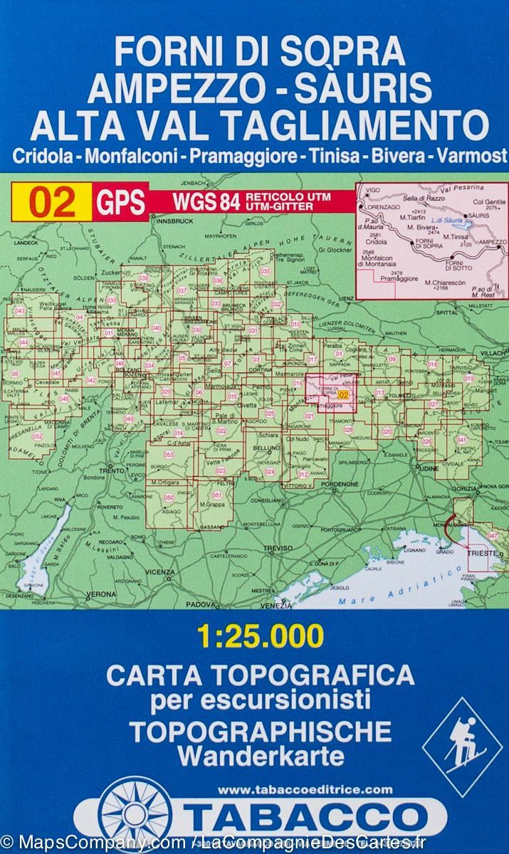
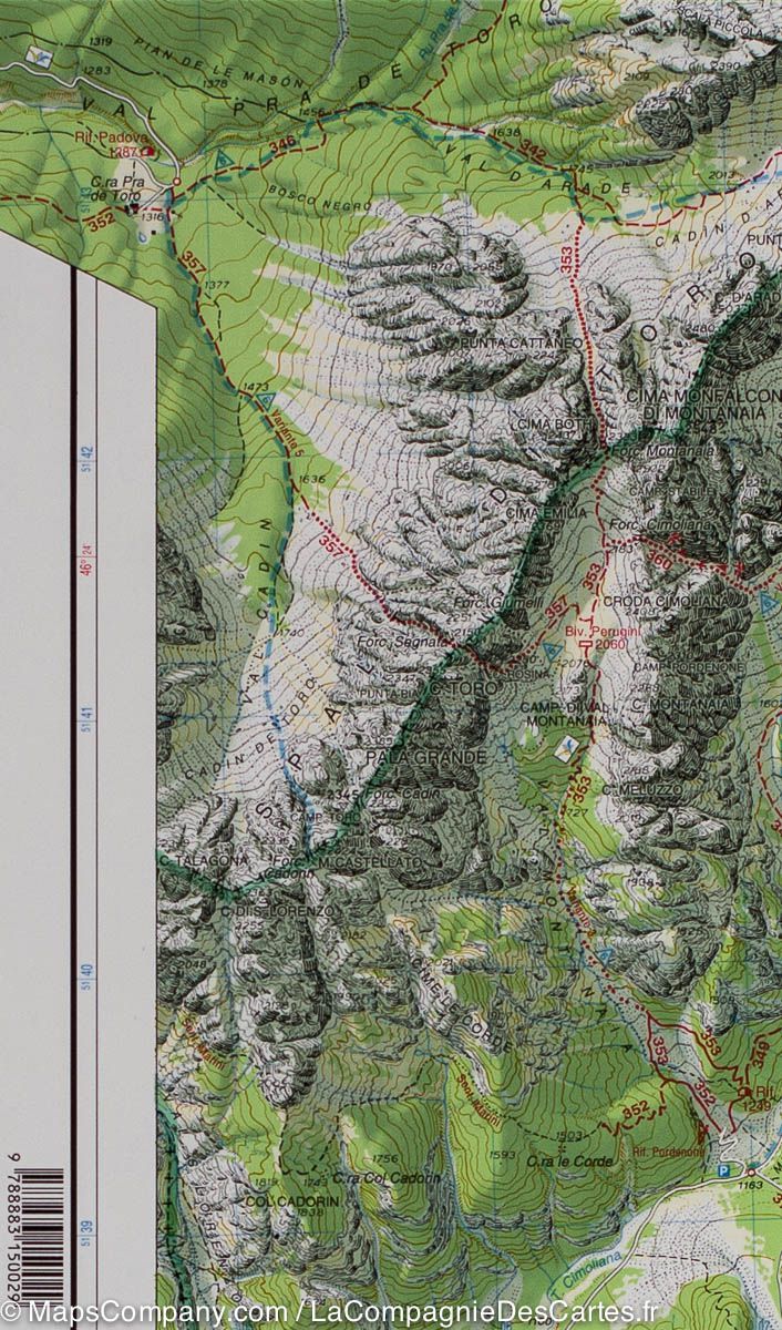
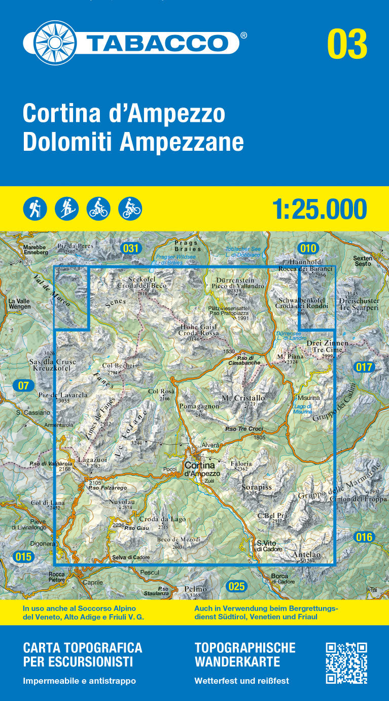
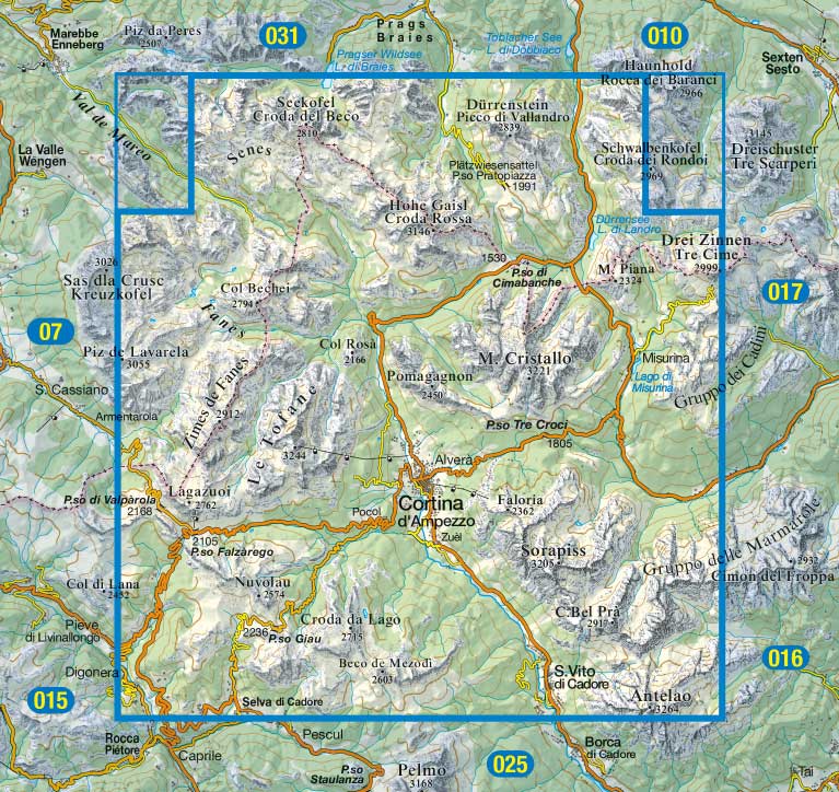
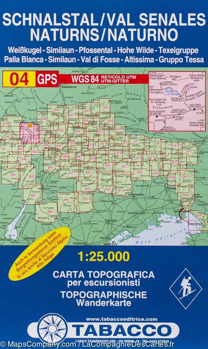
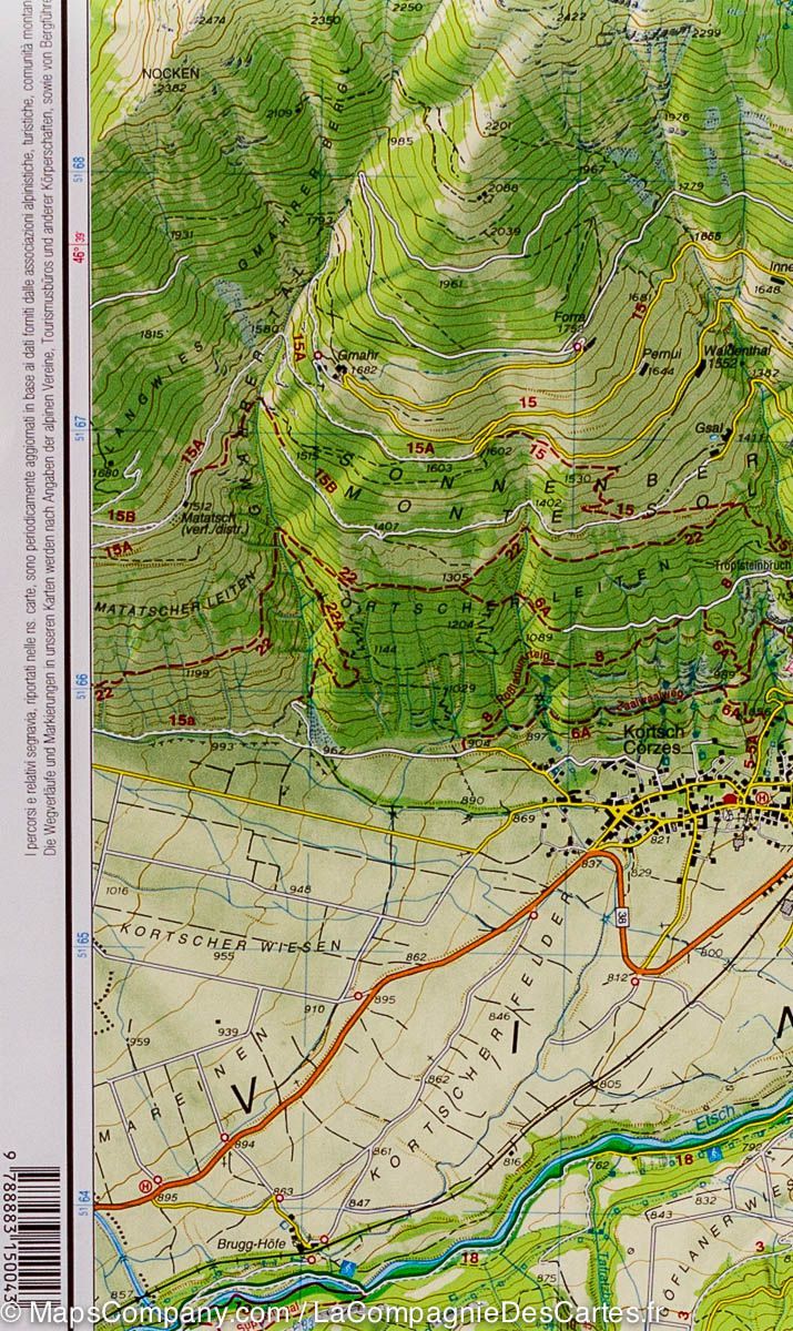
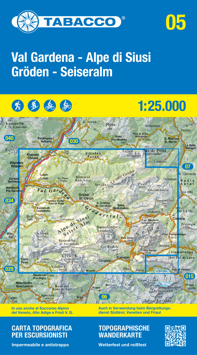
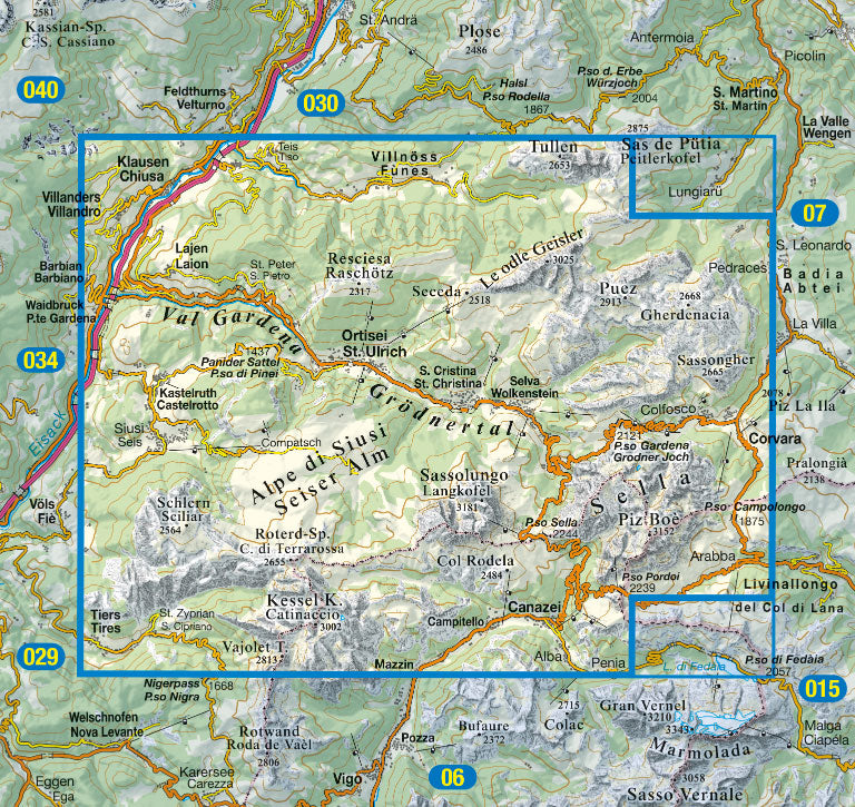
Waterproof topographic map published by Tabacco, covering the Alta Val Camonica, Edolo, and Adamello. Contour lines spaced 25 meters apart.
UTM WGS84.
With ski mountaineering routes, cycle paths, and mountain bike routes.
Map protected by a plastic case.
ISBN/EAN : 9788883151644
Publication date: 2022
Scale: 1/25,000 (1cm=250m)
Printed sides: both sides
Folded dimensions: 21 x 13 x 0.7cm
Unfolded dimensions: 115 x 88cm
Language(s): English, German, Italian
Weight:
115 g


