Set of 4 cycle maps – South Tyrol, Trento & Riva del Garda
Kompass | Scale 1:50,000 | Water and tear resistant paper
This set of 4 Kompass cycling maps opens the doors to one of the most Coffee table areas in Europe to discover by bike: from South Tyrol to the Dolomites, from the Brenner Pass to Trento, Rovereto and Riva del Garda on the lake. All on eight map sides, for exceptional coverage in 1:50,000 scale, ideal for precision and readability.
You can choose between easy valley walks, perfect for families (Etsch, Eisack, etc.), hilly routes through villages and traditional farms, or even more alpine climbs through mountain pastures, passes and spectacular peaks.
The maps display all long-distance cycle routes, main and secondary paths, with their names and symbols . The type of surface, distances between points, slope arrows and service points (E-Bike stations, rentals, repairs, train stations, rest stops, ferries, accommodation) are also clearly indicated.
The GPS tracks of the cycle network are free to download, for digital use on GPS or mobile applications. The maps are printed on both sides on tear-proof and waterproof paper, designed to last through the seasons and the miles.
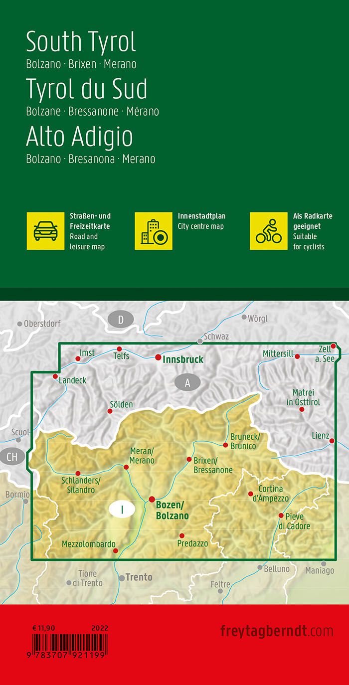
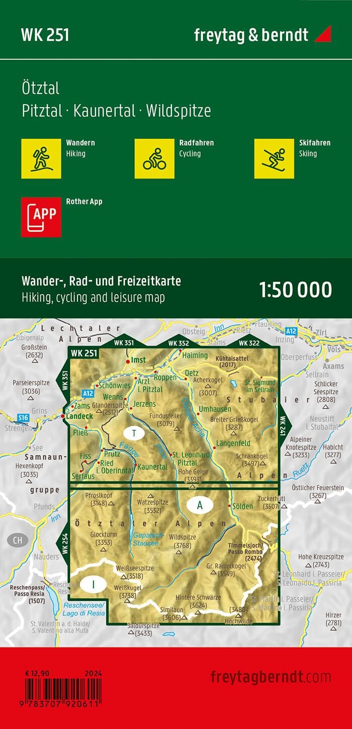
Each map is accompanied by a detailed legend for simple and intuitive reading, and the precise division of the territory is visible on the cover diagram.
A must-have for all cycle tourists, sports cyclists or families looking for gentle adventure between lakes, peaks, wine valleys and picturesque villages of northern Italy.