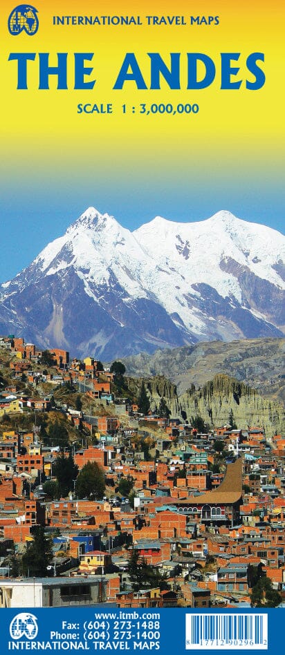
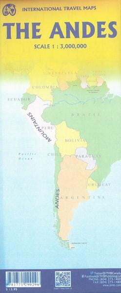
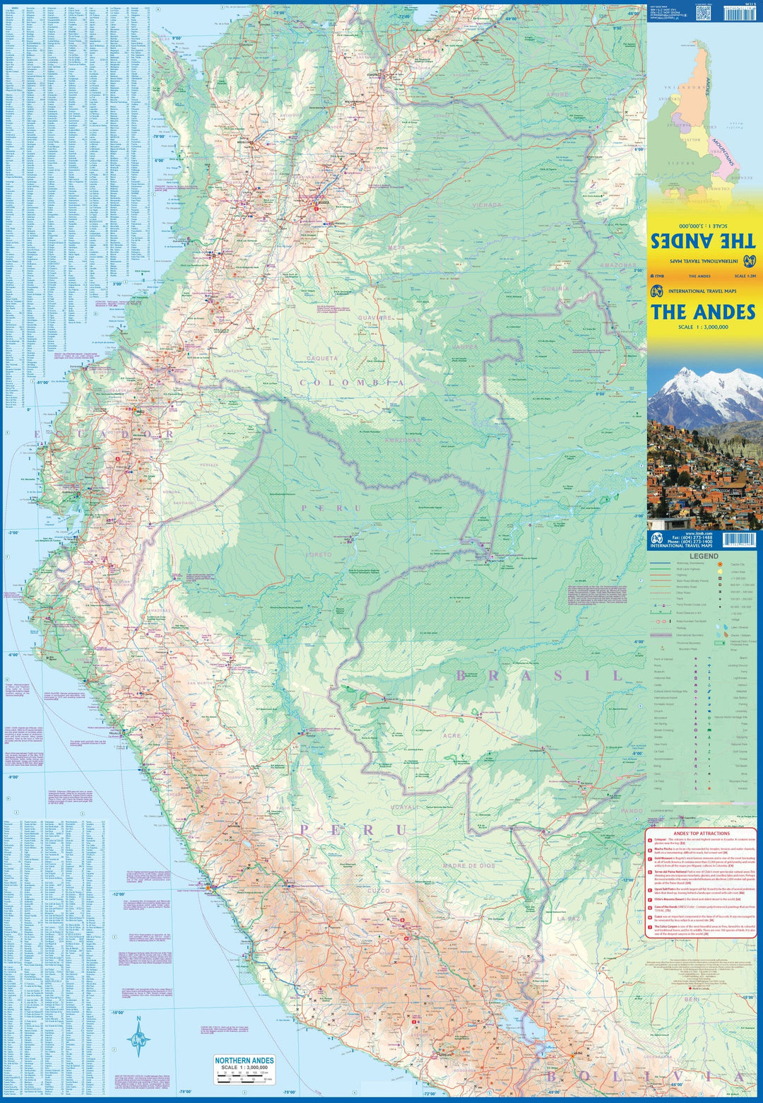
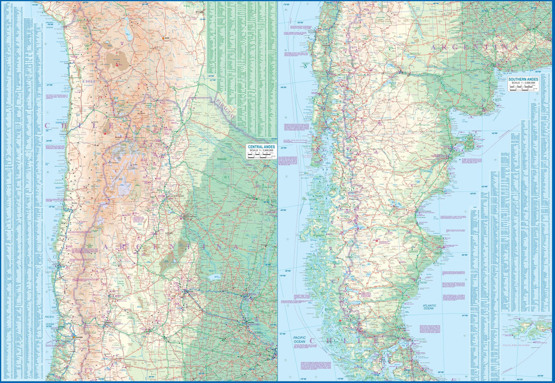
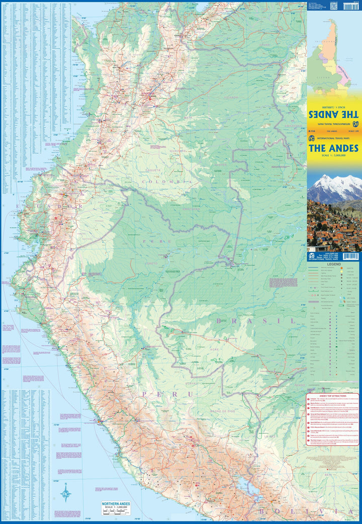
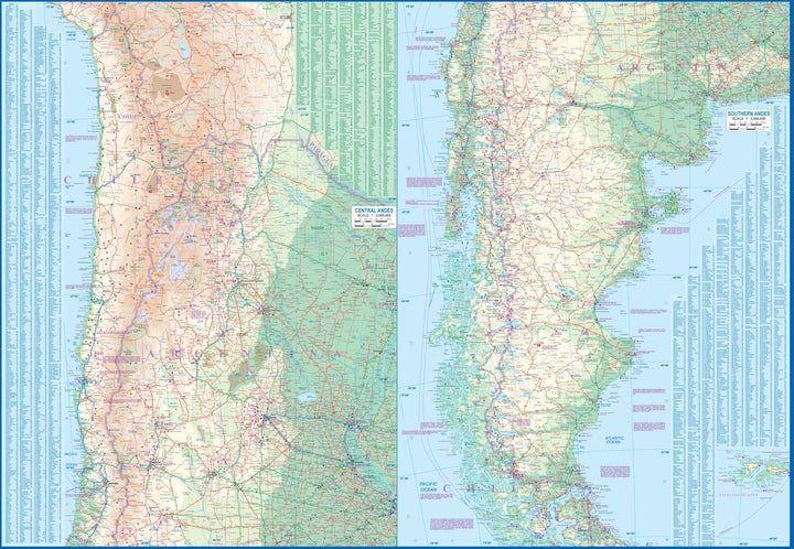
General map of the Andes Mountains published by ITM.
The Andes are a magnificent series of high mountains that penetrate Colombia and extend southward through Ecuador and Peru to southern Patagonia. The map is double-sided, with the Northern Andes on the front and the Central and Southern Andes on the back, divided into two side-by-side maps.
All of Colombia and Peru are represented, along with most of Bolivia, all of Chile, and the Patagonian part of Argentina, with the exception of the southern part of Tierra del Fuego. This map focuses on the mountainous areas of the continent, where a large portion of the population lives. Bogota, Medellin, Quito, Lima, Arequipa, La Paz, Santiago, Talca, and Punta Arenas are all located along the spine of the Andes. The same goes for the peaks of Torres del Paine, the Montt Glacier, and numerous volcanoes, tourist sites, and winding mountain roads.
ISBN/EAN : 9781771290296
Publication date: 2022
Scale: 1/3,000,000 (1cm=30km)
Printed sides: both sides
Folded dimensions: 24.6 x 10.3 x 0.5cm
Unfolded dimensions: 100 x 69cm
Language(s): English Spanish
Weight:
89 g


