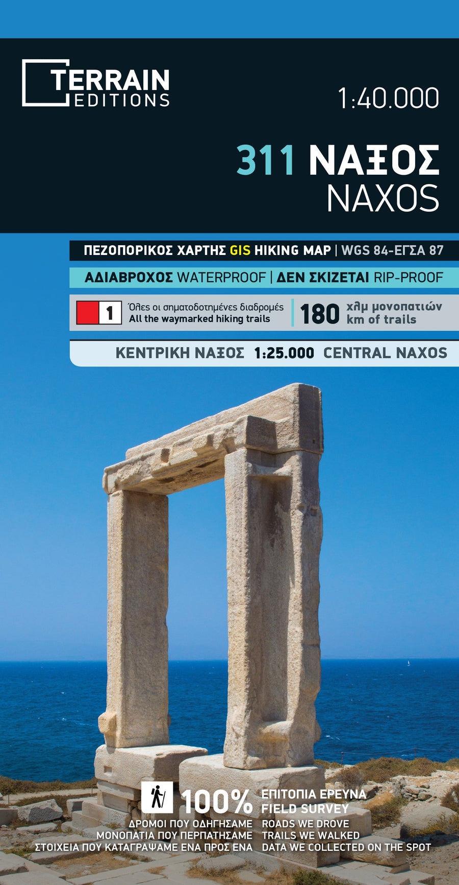
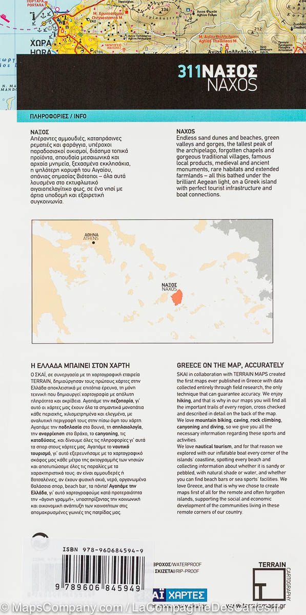
Kythnos hiking map at a scale of 1:31,000
Kythnos, the second largest island in the Western Cyclades after Tzia, has 2 charming villages, Messaria and Dryopis, Coffee table beaches and a rich network of trails. The Anavasi map represents the island in a precise and detailed way at a scale of 1:31,000 and describes the network of hiking trails, the road network, the beaches, the museums and archaeological sites, the churches, the villages and many other points of interest for the visitor.
On the back you will find a small hiking and cultural guide in two languages (Greek and English), written by the professor of archaeology Alexandros Mazarakis-Ainian and the excellent connoisseur of the island Adonis Kyrou, describing, in addition to the known antiquities of the island, ancient towers and unknown mining sites.
Printed on tear-proof polyart paper.
ISBN/EAN : 9789609412414
Publication date: 2024
Scale: 1/31000 (1cm=310m)
Folded dimensions: 12 x 23cm
Language(s): English, Greek
Weight:
80 g


