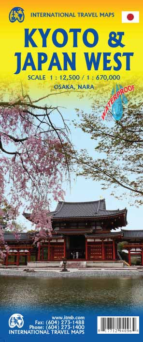
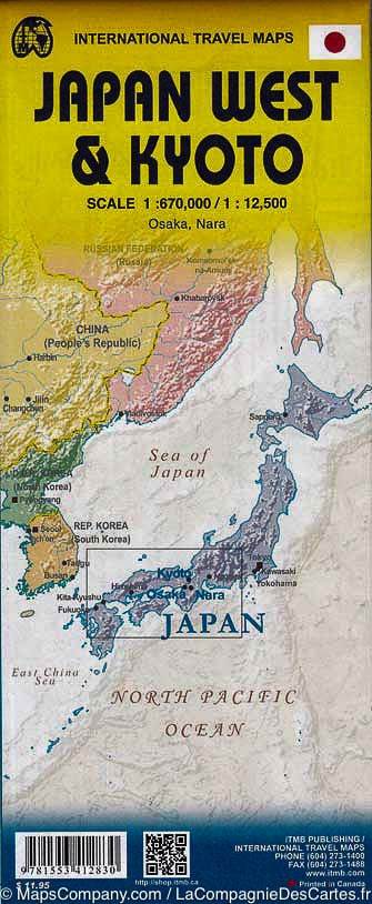
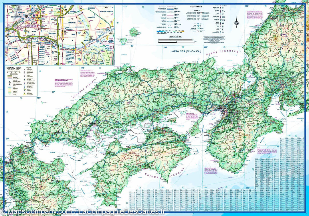
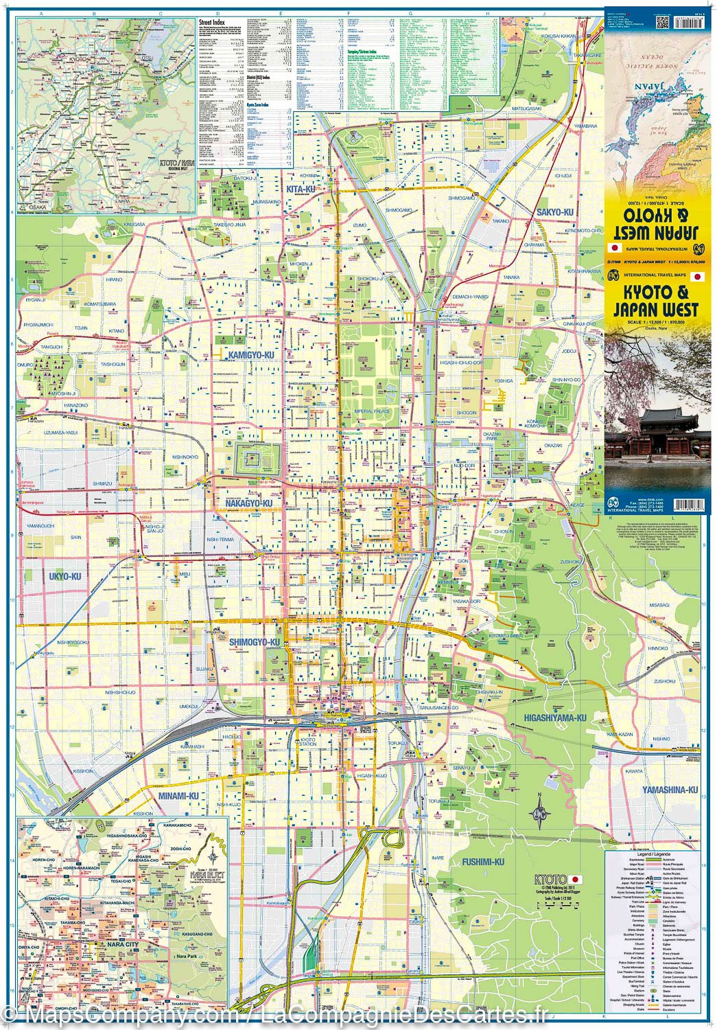
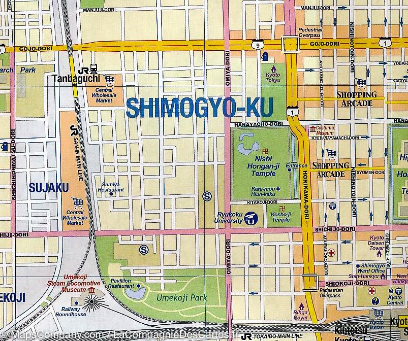
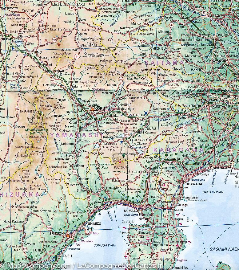
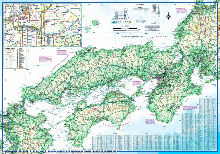
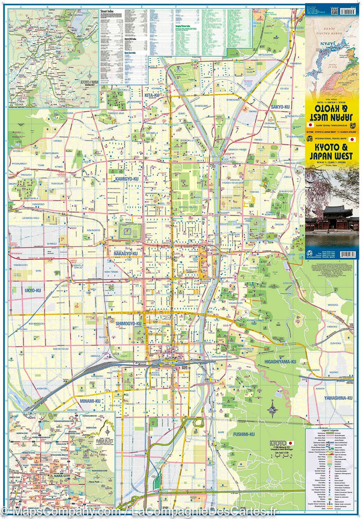
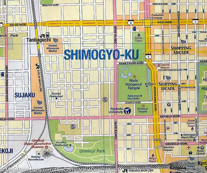
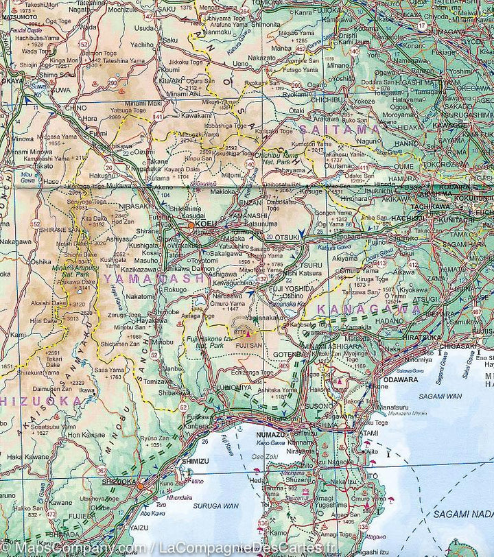
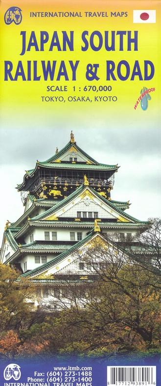
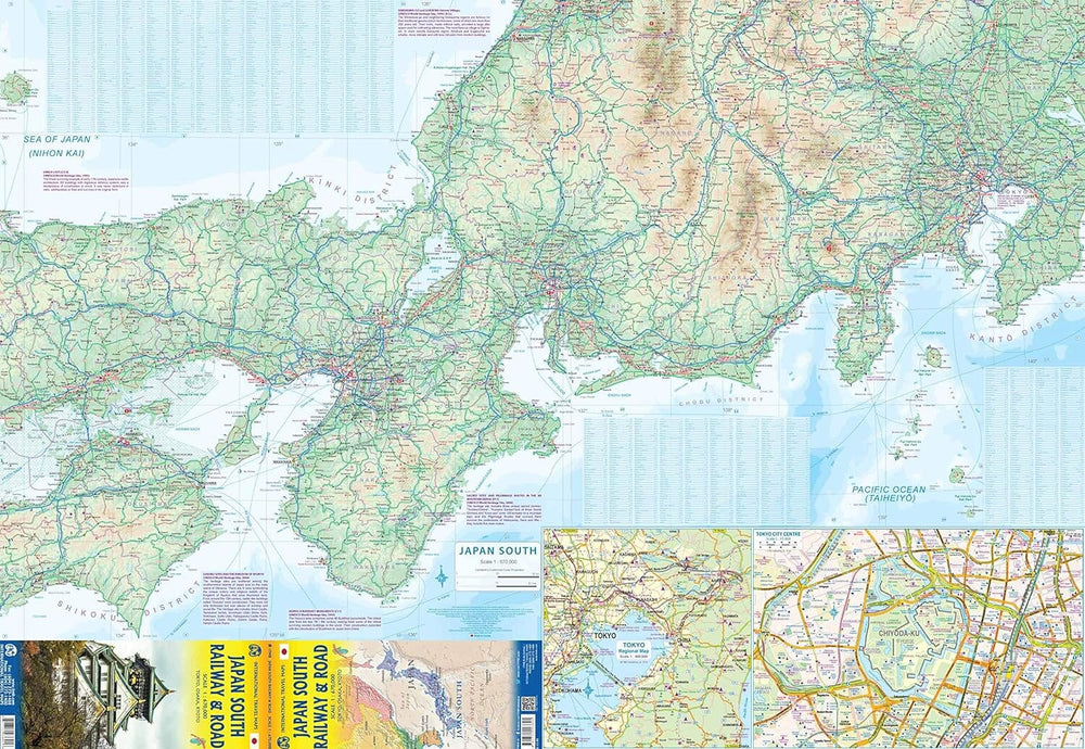
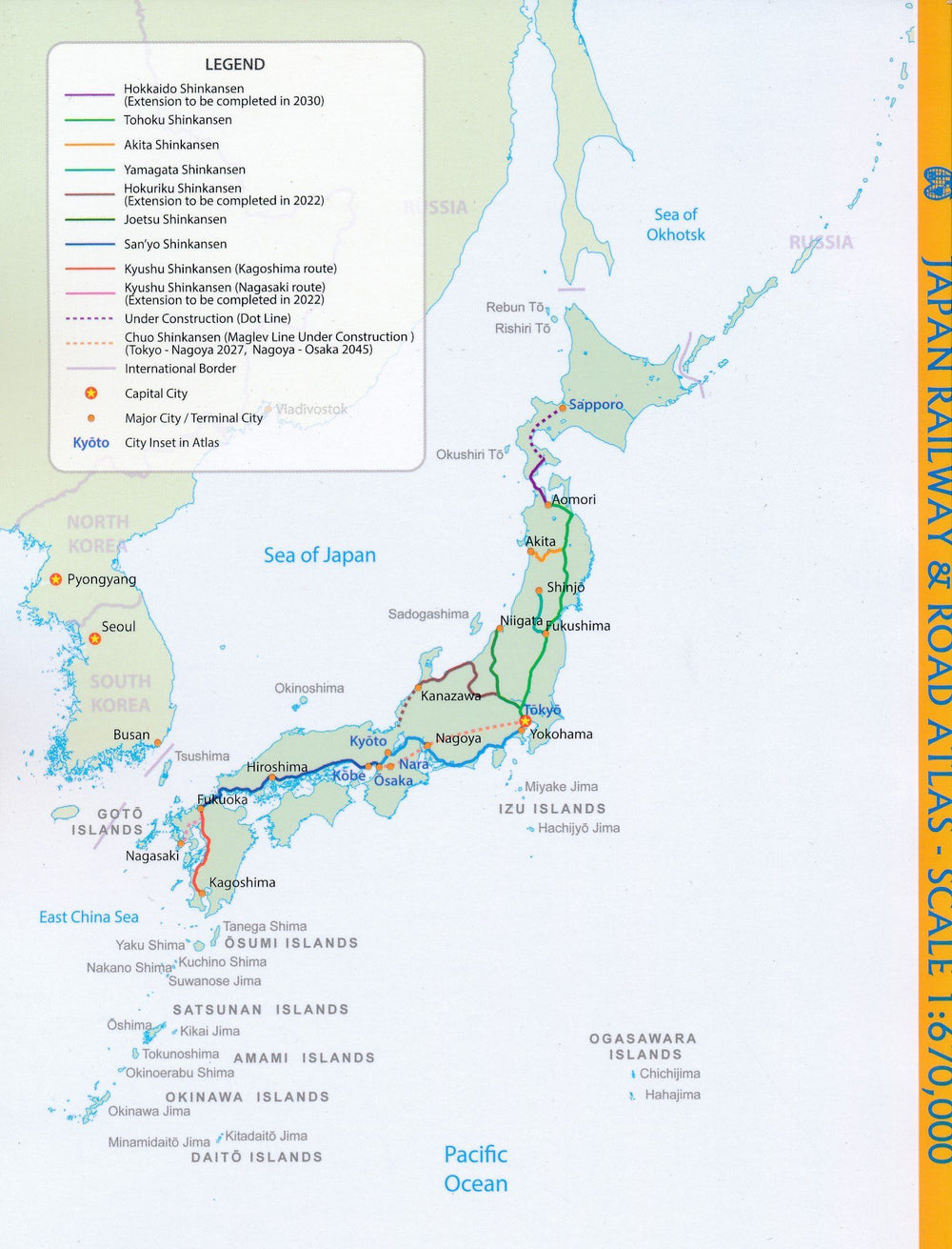
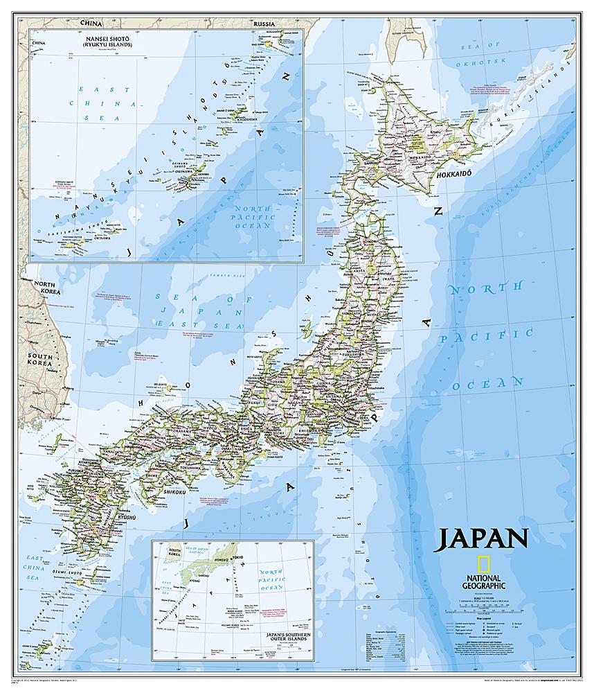
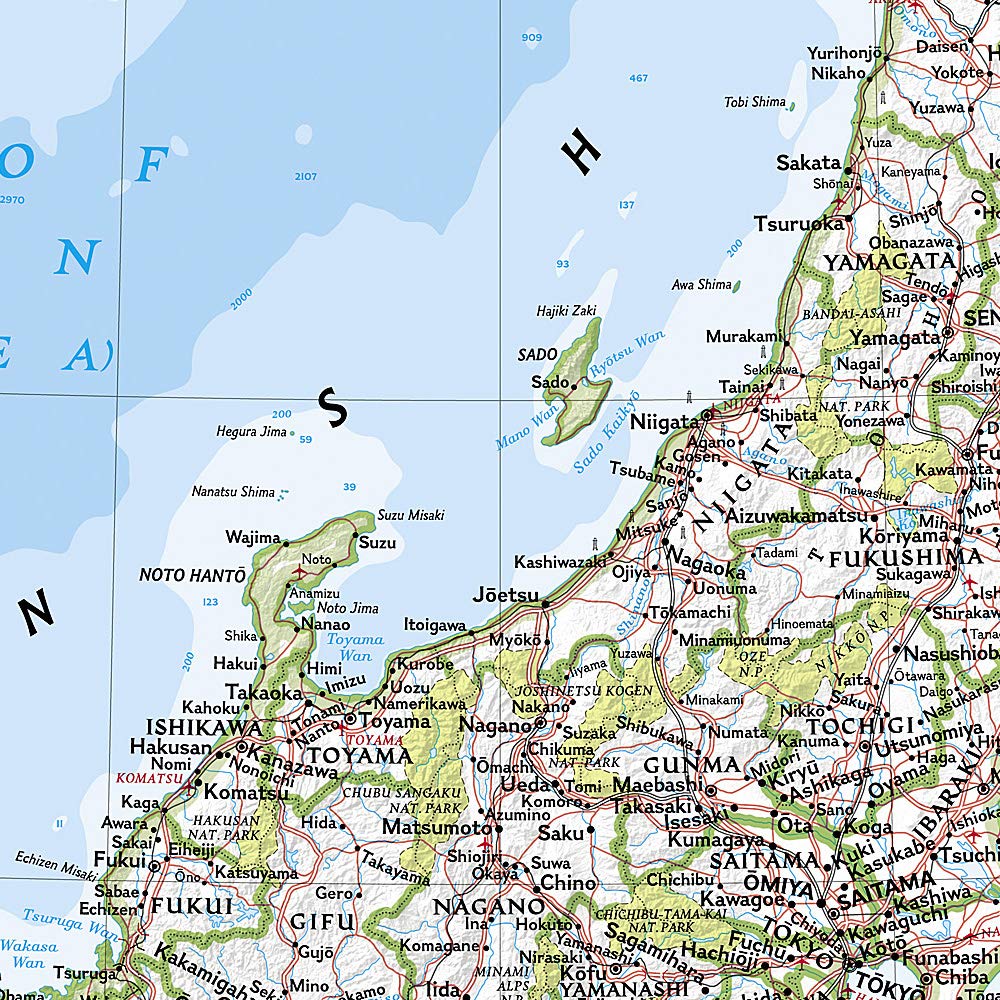
Great Kyoto Plan (scale 1/12,500) with a street index, published by ITM. In inset, a plan of the Kyoto agglomeration, plus a metro plan. On the back, a map of the western part of Japan (scale 1/670 000) with a cities index. Relief mapping. Tourist information is identified using symbols: museums, religious buildings, police stations, department stores, shopping streets, road stations, hiking trails, hospitals ...
Legend is in French and English for the city map, in English and Japanese for the Road map. The place names are only indicated in Latin alphabet.
ISBN/EAN : 9781771294096
Publication date: 2017
Scale: 1/12,500 (1 cm = 125 m) & 1/670,000 (1 cm = 6.7 km)
Printed sides: both sides
Folded dimensions: 24.6 x 10.3 x 0.5cm
Unfolded dimensions: 100 x 69cm
Language(s): English
Weight:
74 g


