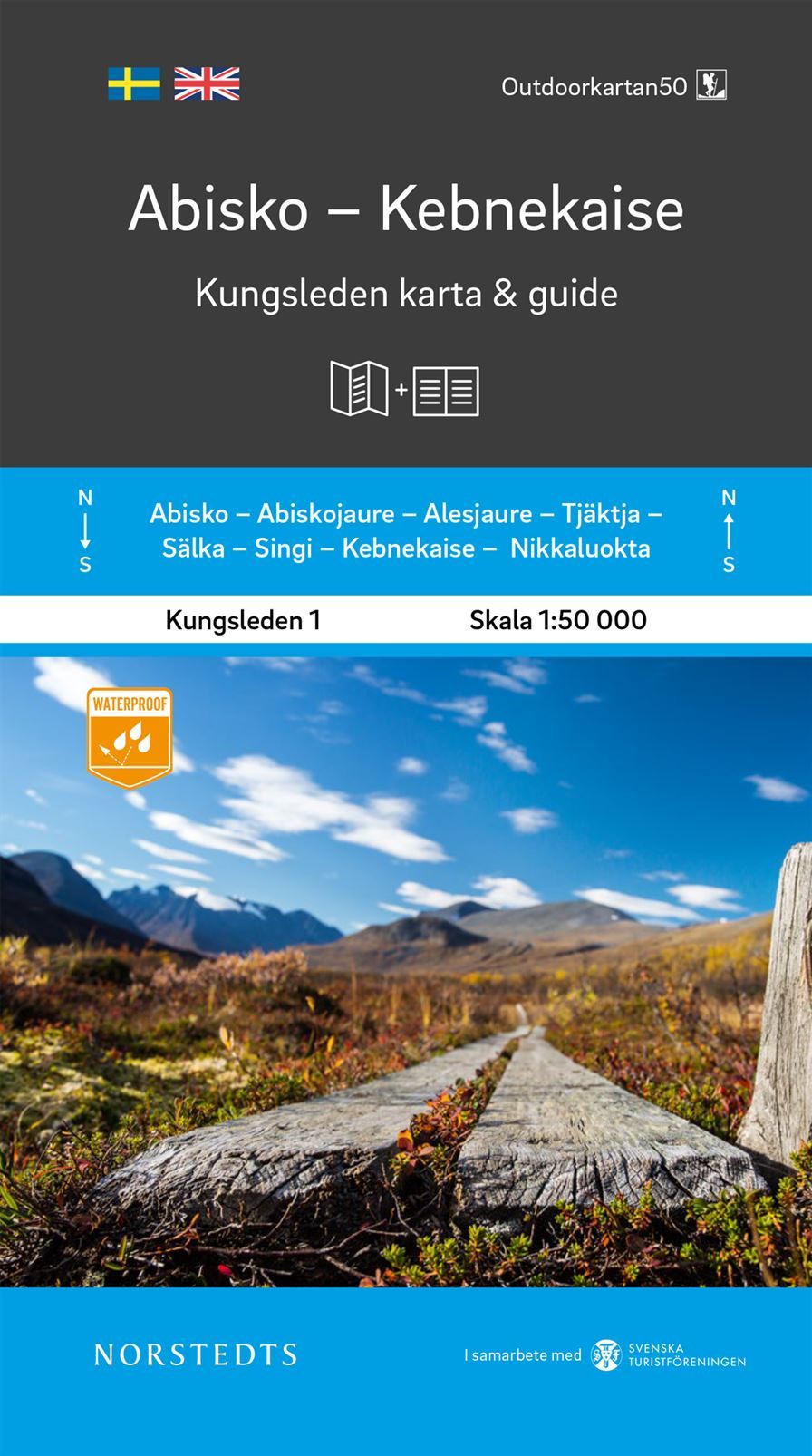
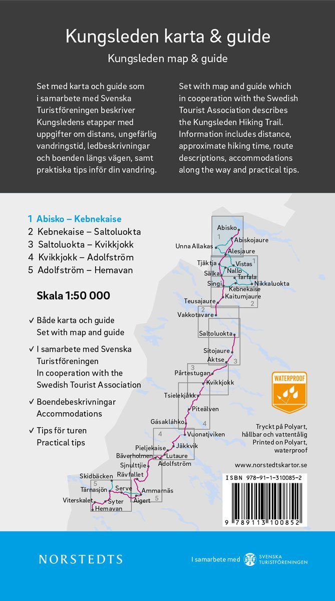
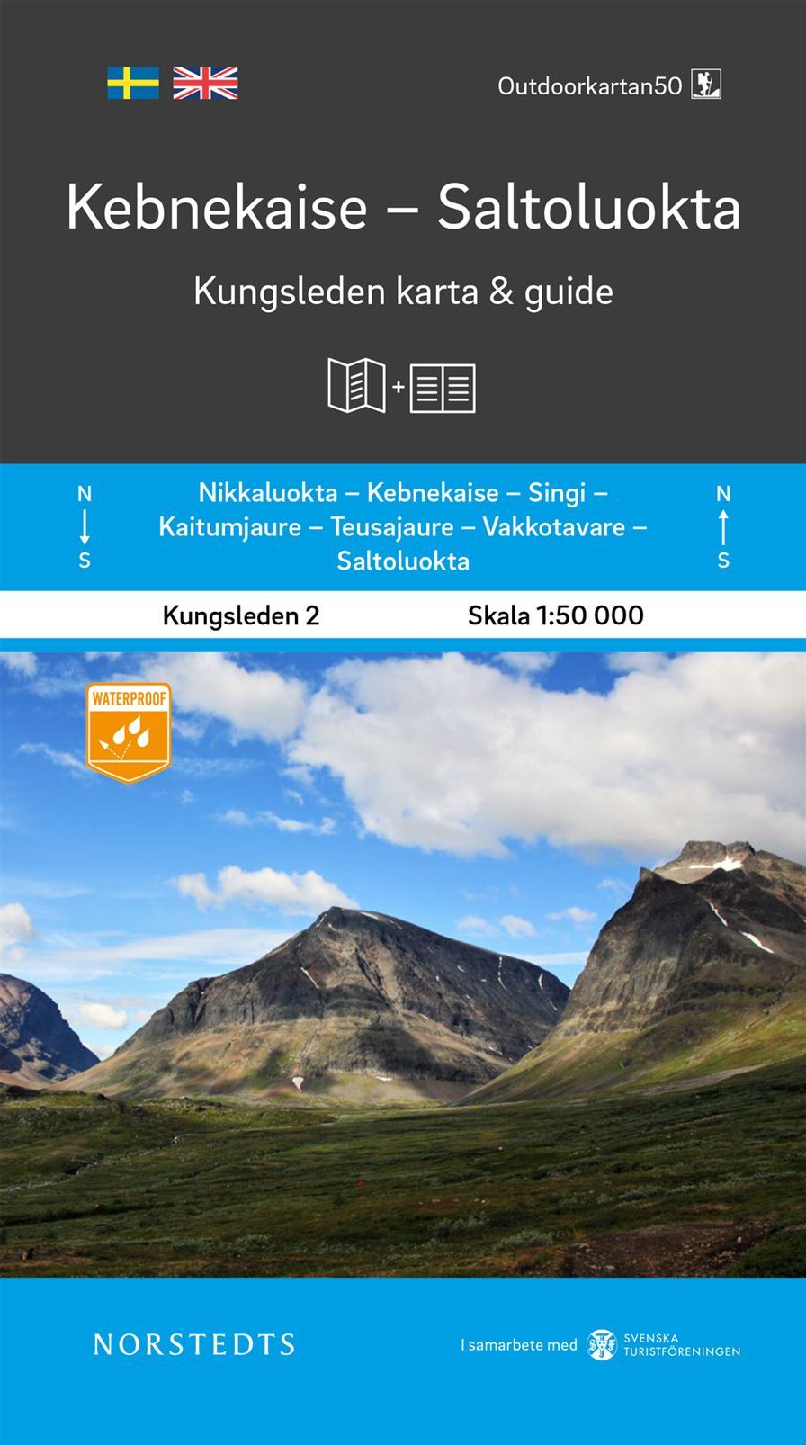
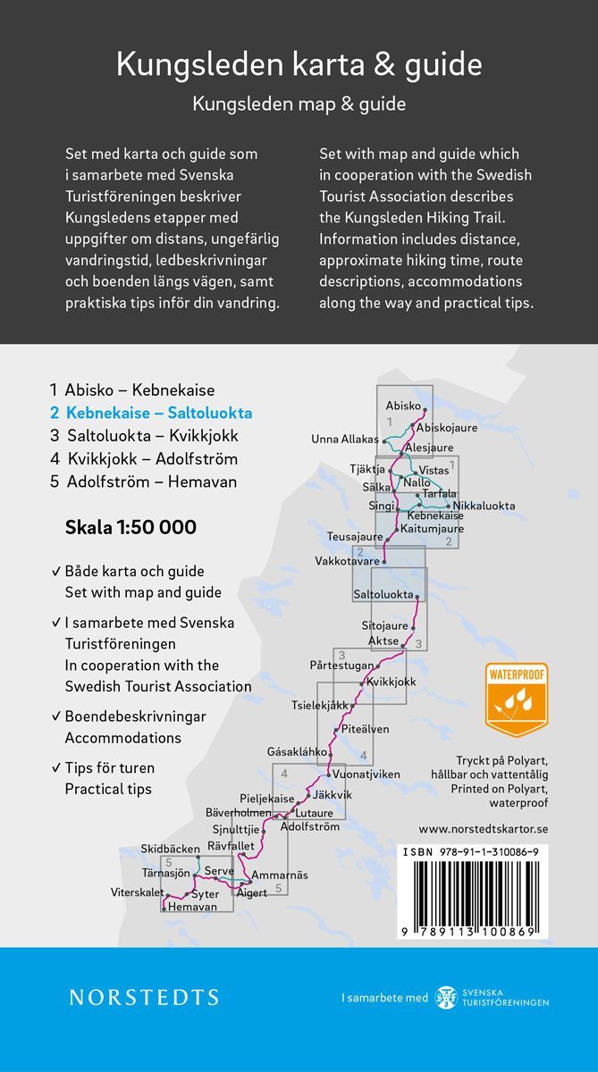
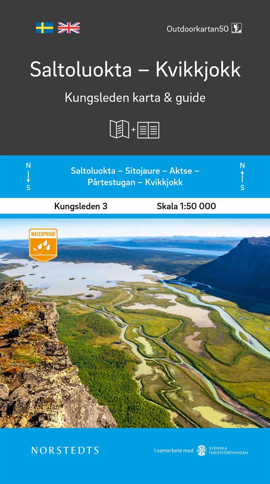
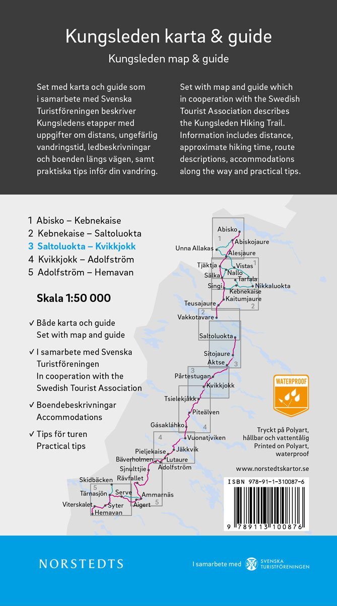
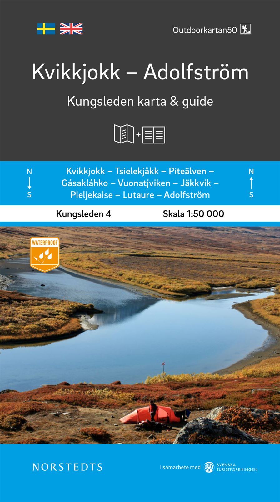
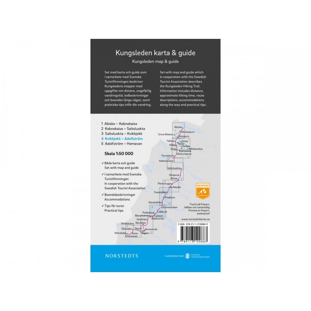
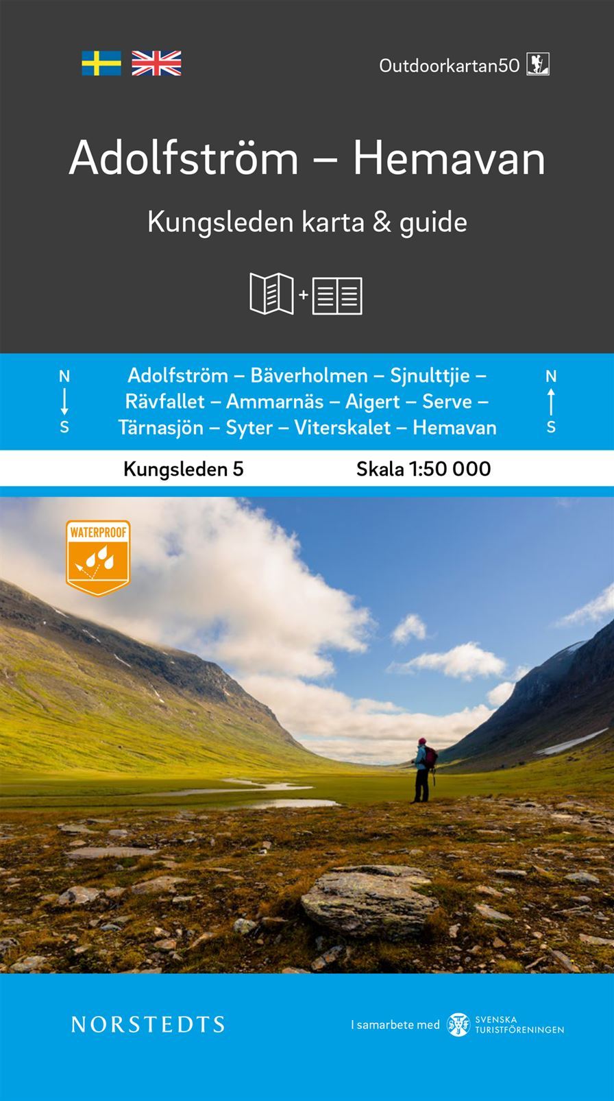
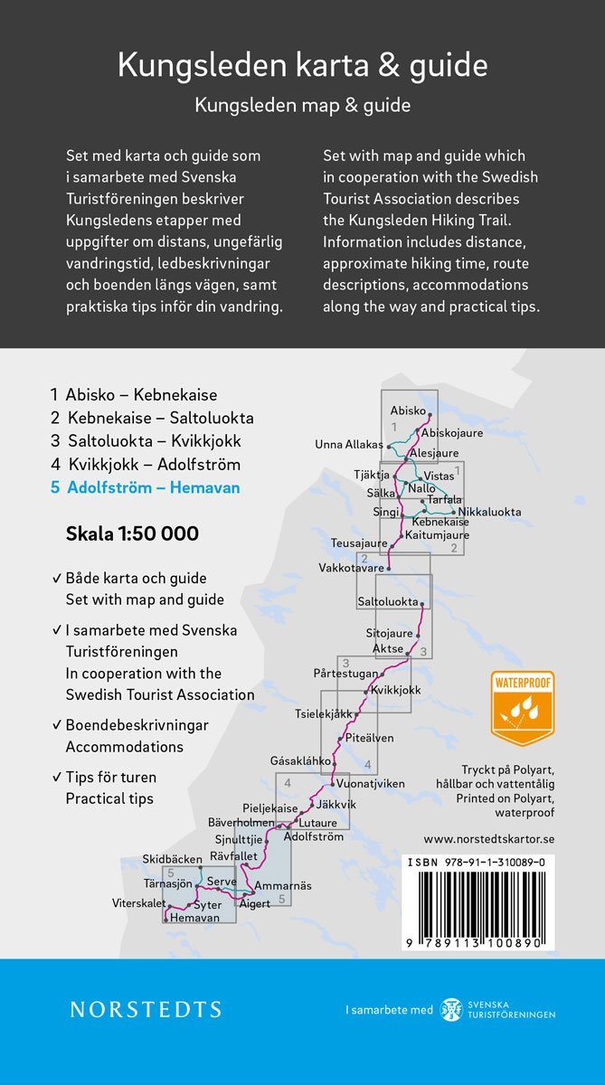
Swedish mountain map at a scale of 1:50,000, covering part of the Kungsleden. The terrain information is based on airborne laser scanning. In addition to the 10-meter equidistant contour lines, streams and slopes, among other things, appear significantly better than before. Trails are reproduced more accurately, as are buildings, stony ground, and hard-to-reach vegetation. The map, made of Tyvek material, is waterproof and tear-resistant.
ISBN/EAN : 9789188779939
Publication date: 2020
Scale: 1/50,000 (1cm=500m)
Printed sides: both sides
Folded dimensions: 21x13cm
Language(s): English, Swedish
Weight:
60 g


