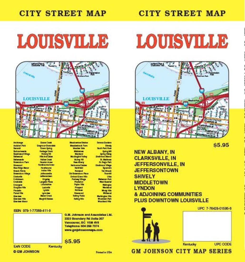
Louisville - Kentucky and New Albany - Indiana | GM Johnson Road Map

Louisville - Kentucky and New Albany - Indiana | GM Johnson

Louisville - Kentucky and New Albany - Indiana | GM Johnson

Regular price $8.00
/
  • Ships within 48 business hours from our US warehouse. For this product, customs fees may be requested by the carrier upon delivery.
  • Delivery costs calculated instantly in the basket
  • Free returns (*)
  • Real-time inventory
  • In stock, ready to ship
  • Backordered, shipping soon
Tax included.
Folded street map of Louisville, KY, and surrounding area. One side covers Louisville from Floyd County to Middletown to Clarksville, IN, in the north and Louisville airport in the south. Reverse covers Valley Downs to Fairmont with inset of downtown Louisville, with extensive index of streets and places of interest.


ISBN/EAN : 9781770684119
Publication date: 2014
Folded dimensions: 9.45 x 4.33 inch / 24 x 11cm
Unfolded dimensions: 26.38 x 38.58 inches / 67 x 98cm
Language(s): English
Poids : 70 g

Customer Reviews

Be the first to write a review
0%
(0)
0%
(0)
0%
(0)
0%
(0)
0%
(0)