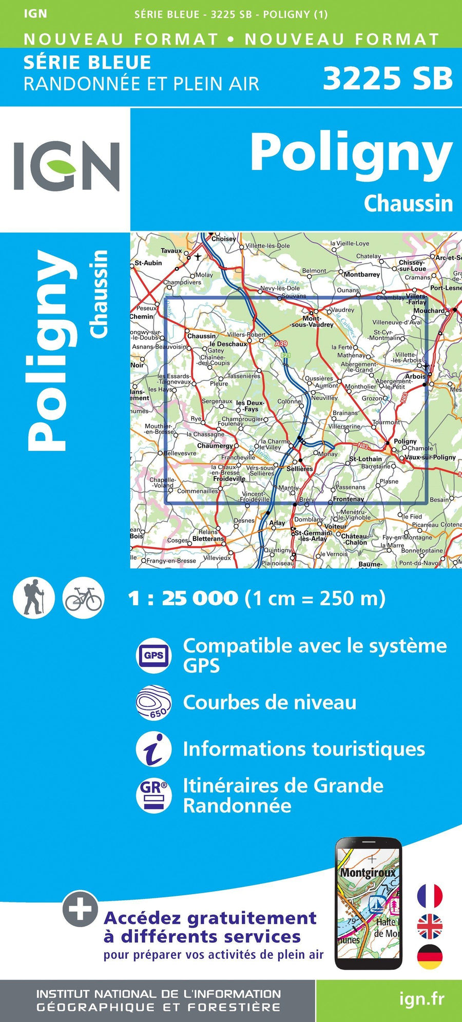
Hiking map # 3225 - Poligny, Chaussi | IGN - Blue Series

Price
Regular price $16.00
Regular price Sale price $16.00
Save $-16
/
  • Shipping within 24 working hours from our warehouse in France
  • Delivery costs calculated instantly in the basket
  • Free returns (*)
  • Real-time inventory
  • Low stock - 1 item left
  • Backordered, shipping soon
Tax included.

Often purchased together:

The indispensable hiking map! These topographic maps of a very high accuracy contain all existing details in the field: communication pathways to the slightest path, constructions to the hangar, wood, isolated tree, river, source ... without forgetting the representation of the relief by level curves.


ISBN/EAN : 9782758547969
Publication date: 2019
Scale: 1/25,000 (1cm=250m)
Folded dimensions: 22 x 11cm
Unfolded dimensions: 96cm x 132cm
Language(s): French, English, German
Weight: 89 g

Customer Reviews

No reviews yet
0%
(0)
0%
(0)
0%
(0)
0%
(0)
0%
(0)
Carte départementale n° 321 - Doubs, Jura | Michelin carte pliée Michelin
Departmental Map # 321 - Doubs, Jura | Michelin (French)
Michelin
$8.00
Carte TOP 200 - n° 202 - Haut-Jura & Alpes du Nord | IGN carte pliée IGN
Carte IGN TOP 200 - 202 - Haut-Jura & Alpes du Nord | IGN - La Compagnie des Cartes
Top 200 Map - # 202 - Northern High Jura & Alps | IGN
IGN
$9.00
Carte murale en relief - Haut-Jura & Léman - 41 cm x 61 cm | 3D Map carte relief 3D Map
3D Raised relief map - Jura & Leman (41 cm x 61 cm) | 3D Map (French)
3D Map
$45.00