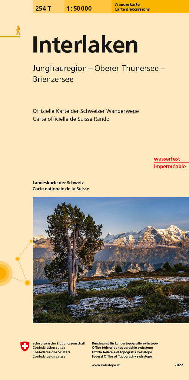
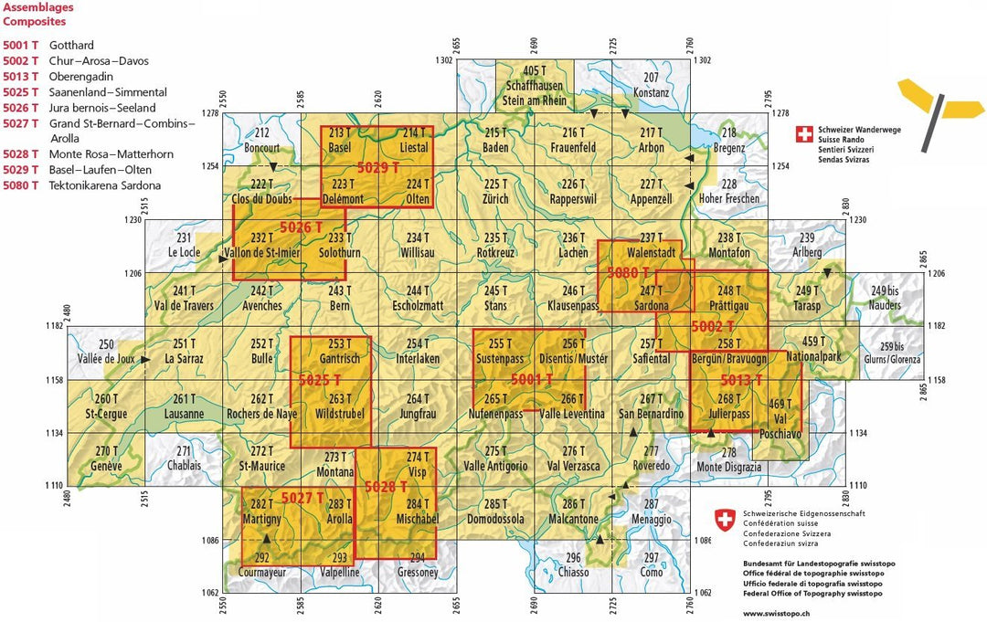
Carte de randonnée n° 254T - Interlaken (Suisse) | Swisstopo - Excursions au 1/50 000 carte pliée Swisstopo

Hiking Map # 254T - Interlaken (Switzerland) | SwissTopo - Excursions to 1/50 000

Hiking Map # 254T - Interlaken (Switzerland) | SwissTopo - Excursions to 1/50 000

Regular price $25.00
/
  • Shipping within 24 working hours from our warehouse in France
  • Delivery costs calculated instantly in the basket
  • Free returns (*)
  • Real-time inventory
  • In stock, ready to ship
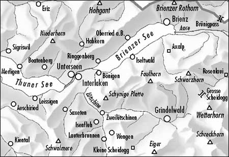
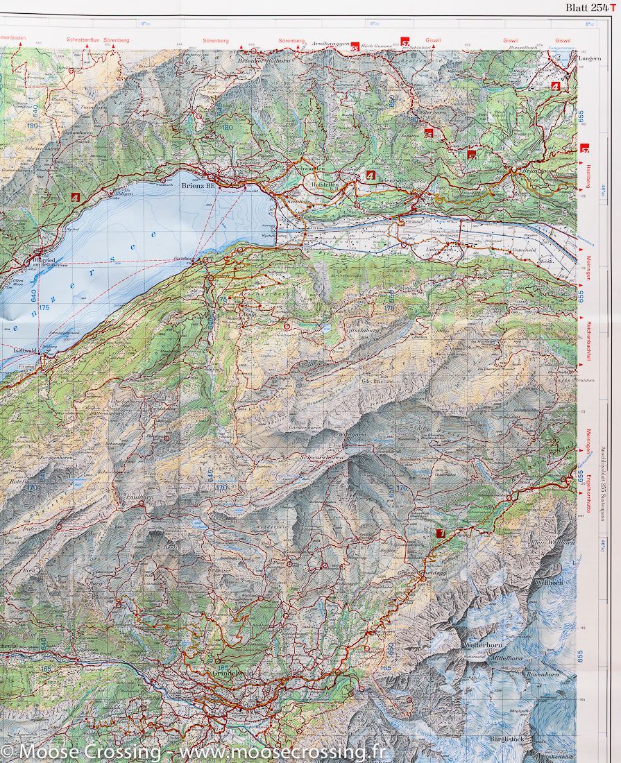
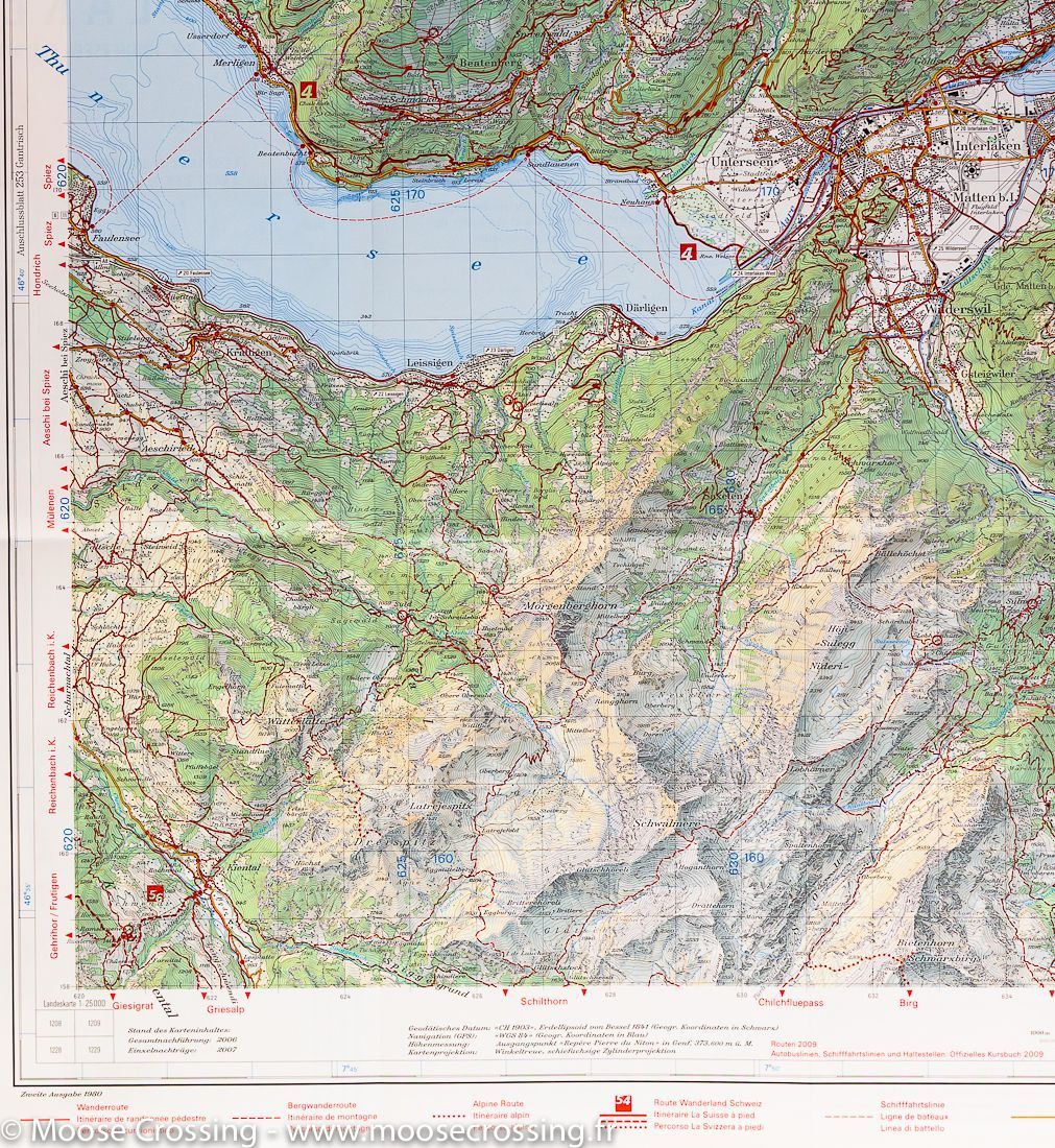
  • Backordered, shipping soon
Tax included.
Topographic Map edited by Swisstopo intended for hiking that covers the Interlaken region of Lake Brienz, Lake Thun and Mount Jungfrau (Switzerland). Level curves and hiking trails shown. Mountain information included.


ISBN/EAN : 9783302302546
Publication date: 2018
Scale: 1/50,000 (1cm=500m)
Printed sides: front
Folded dimensions: 13 x 19cm
Unfolded dimensions: 78 x 56cm
Language(s): multilingual including French
Poids : 42 g

Customer Reviews

Based on 1 review
100%
(1)
0%
(0)
0%
(0)
0%
(0)
0%
(0)
j
jerome N. (Paris, FR)
Sans commentaire

Rien a redire