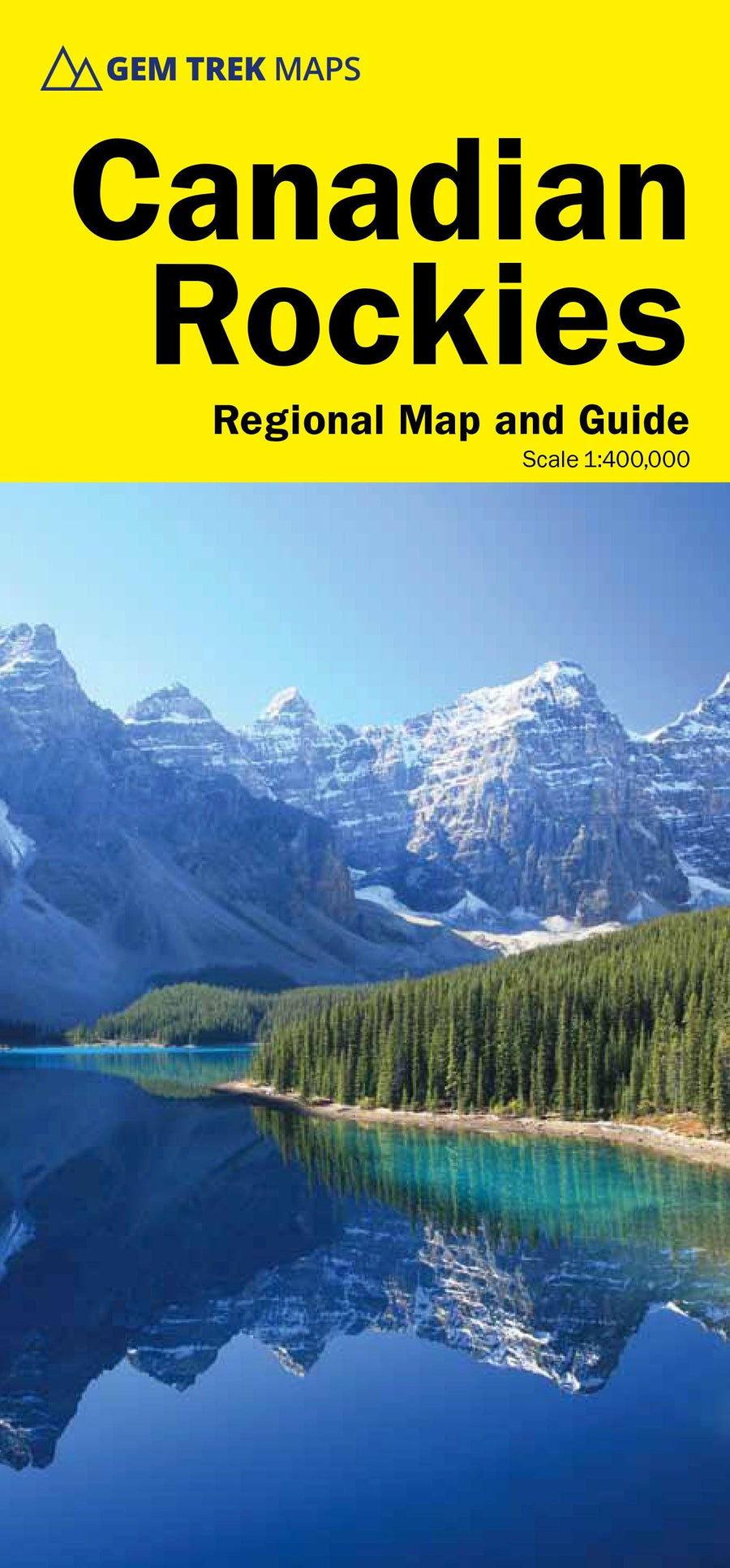
Explore the Canadian Rockies and their hidden treasures
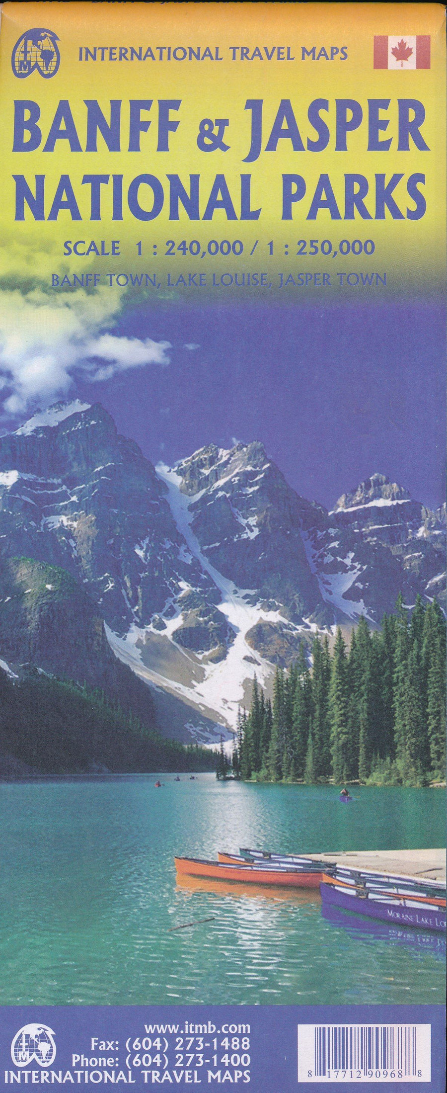
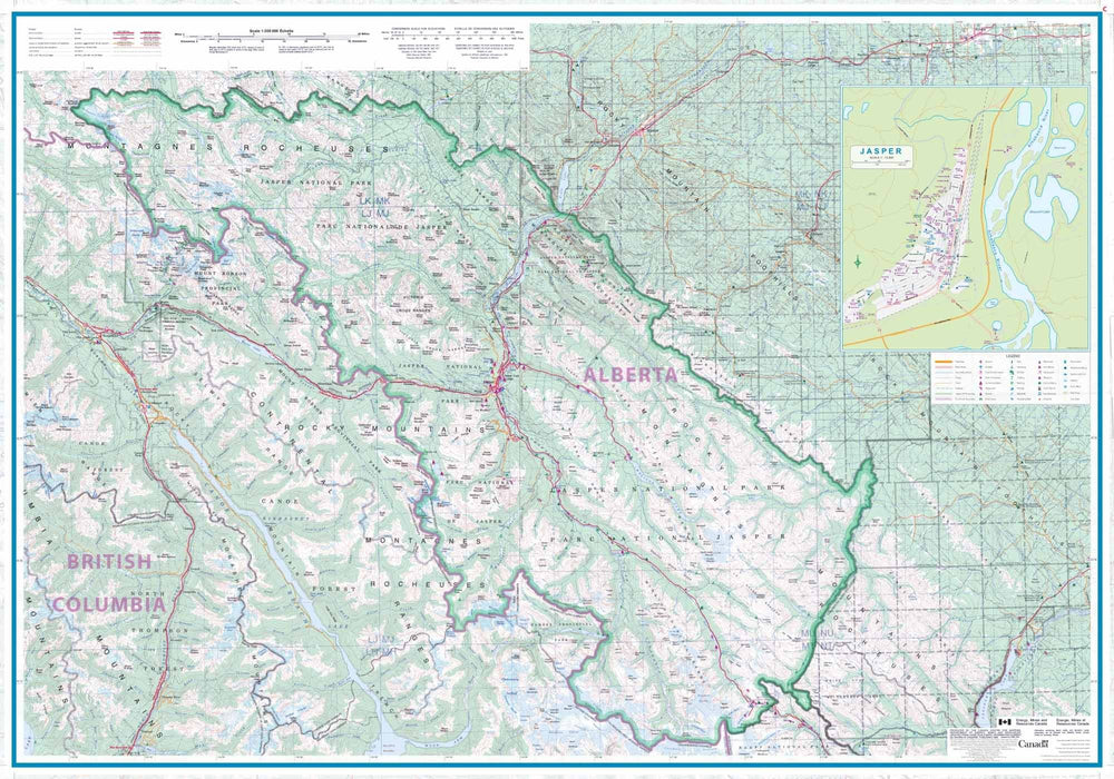
Perfect for travelers looking to explore the Canadian Rockies east and west, this map covers the foothills of Alberta, the Kootenays region of British Columbia, and west-central Alberta . An invitation to discover the spectacular landscapes, scenic drives, and natural gems of Western Canada.
🧭 Areas covered:
-
The Canadian Rockies (east and west slopes)
-
The Kootenays (BC)
-
The foothills of Alberta
-
West Central Alberta
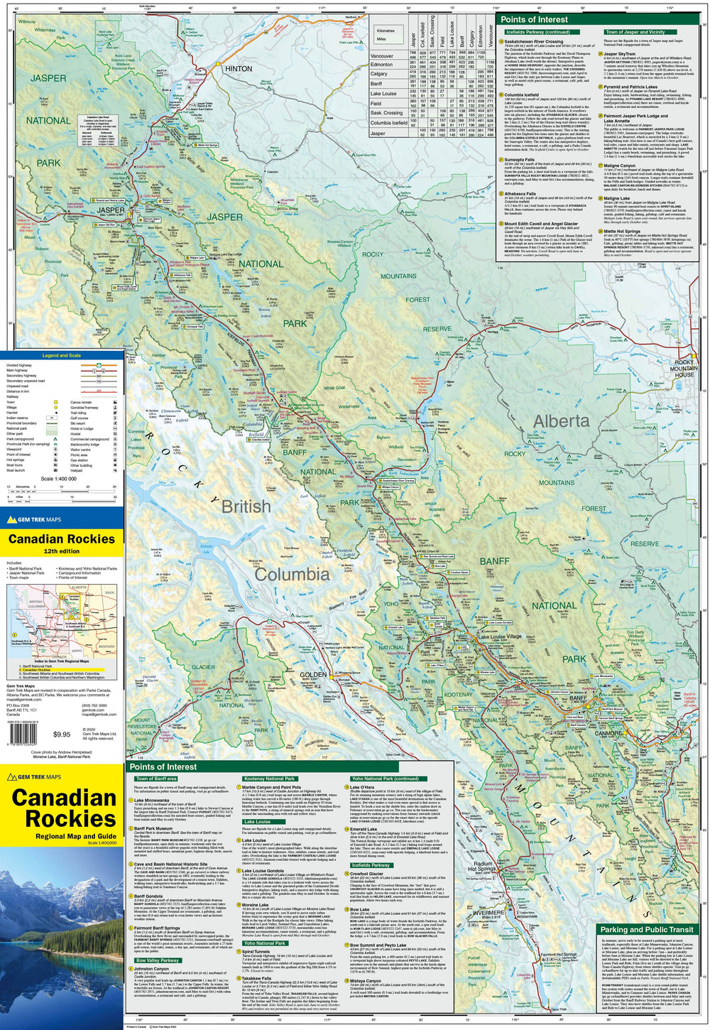
🚗 What the map shows:
-
All major and secondary roads, including major highways
-
National and provincial parks, protected wilderness areas
-
Little-known roads, ideal for exploring off the beaten track
-
Location of campsites, thermal springs, lodges and nature accommodations
-
Distance tables between major cities and towns, shown on the front and back
🎯 Why choose this card?
-
Ideal for lovers of road trips, camping, hiking, nature and wildlife observation
-
Provides access to little-known routes, far from the classic tourist areas
-
A reliable navigation tool to explore a vast and varied region at your own pace
ISBN/EAN : 9781990161216
Publication date: 2025
Scale: 1/500,000 (1 cm = 5 km)
Printed sides: both sides
Folded dimensions: 24.7 x 11.5 x 0.5cm
Unfolded dimensions: 79 x 62cm
Language(s): English
Weight:
43 g


