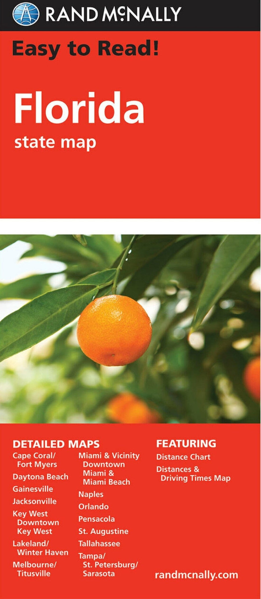
Jacksonville, Florida by Kappa Map Group

Jacksonville, Florida | Kappa Map Group

Price
Regular price $8.00
Regular price Sale price $8.00
Save $-8
/
  • Shipping within 48 business hours from our warehouse in the USA. For this product, customs fees may be requested by the carrier upon delivery.
  • Delivery costs calculated instantly in the basket
  • Free returns (*)
  • Real-time inventory
  • In stock, ready to ship
  • Backordered, shipping soon
Tax included.

Often purchased together:

Folded street map of Jacksonville, FL. Covers Amelia Island, Atlantic Beach, Fernandina Beach, Jacksonville Beach, Neptune Beach, Orange Park, and Ponte Vedra Beach. Features an inset map of Central Jacksonville. Includes complete index, color - coded travel routes, railroads, boundaries, ZIP code numbers/boundaries, township/range boxes, airports, cemeteries, schools/colleges/universities, fire/police stations, golf courses, government facilities, hospitals, libraries, parks, forests, industrial parks, shopping centers, and points of interest.


ISBN/EAN : 9780762572304
Publication date: 2010
Folded dimensions: 9.06 inches x 3.94 inches (23 x 10 cm)
Unfolded dimensions: 38.19 inches x 26.38 inches (97 x 67 cm)
Language(s): English
Weight: 60 g

Customer Reviews

Be the first to write a review
0%
(0)
0%
(0)
0%
(0)
0%
(0)
0%
(0)
More from Jacksonville
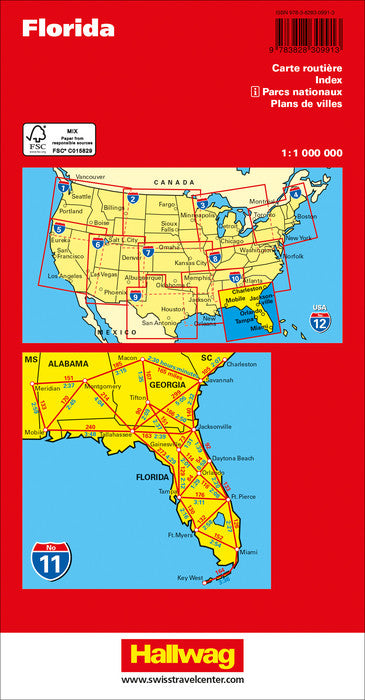
Carte routière n° 11 - Floride | Hallwag carte pliée Hallwag
Road map # 11 - Florida | Hallwag
Hallwag
$14.00
Jacksonville : City Street Map | GM Johnson carte pliée
Jacksonville : City Street Map | GM Johnson
GM Johnson
$9.00