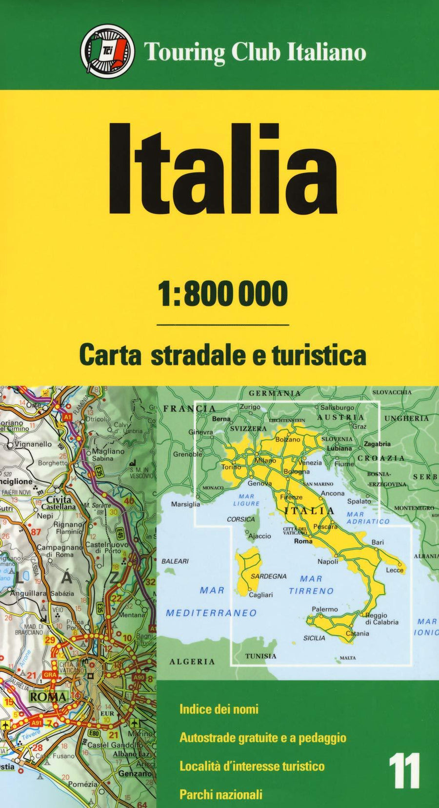
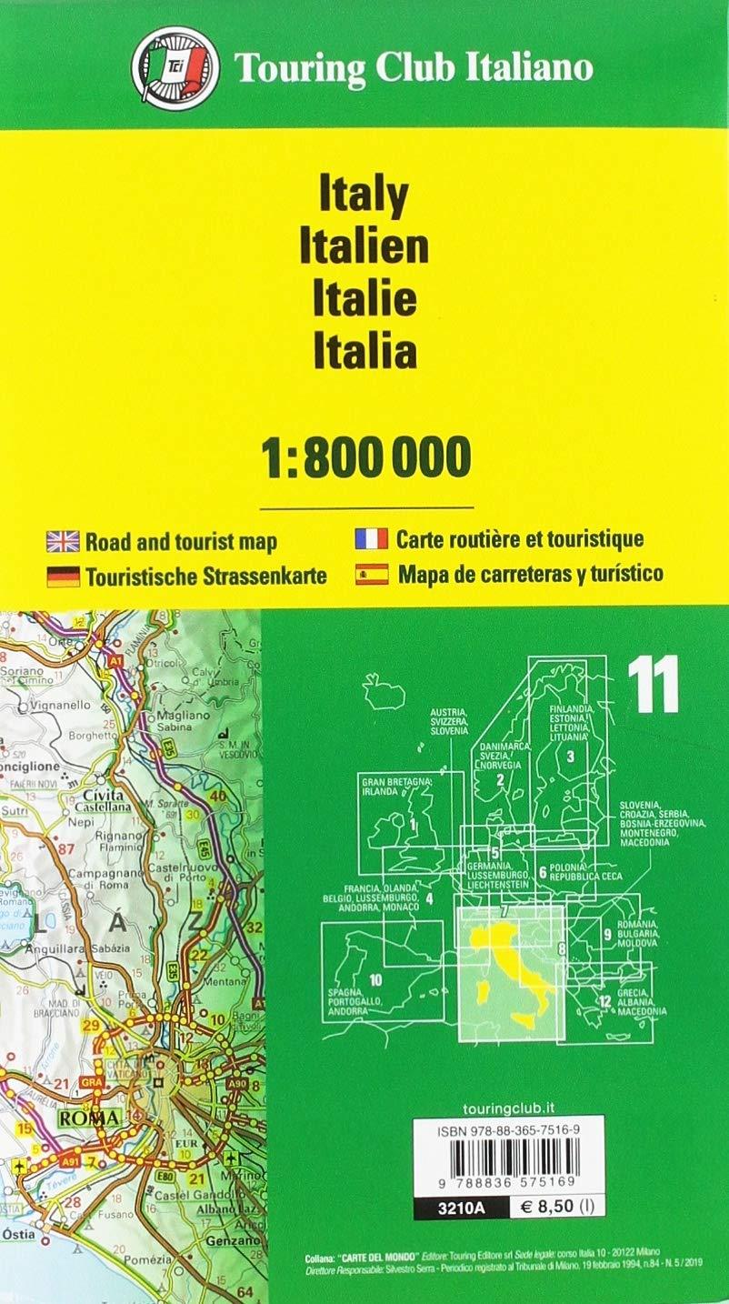
Map of Italy published by the Italiano Touring Club. This map is double - sided and also provides excellent coverage of neighboring regions (west it extends to Grenoble and Toulon to the north, it covers all of Switzerland, the German Alps, Tyrol and the South from Austria to Salzburg East the whole of Slovenia, more north of Croatia, including Zagreb and the Adriatic Coast until Split). The coverage of northern Italy on the front end extends well beyond Rome, and on the back, the southern part is covered from the capital Rome. The topography is indicated by sludge. Road distances indicated on many local routes. Places of interest, national parks, etc ... are marked.
Scale 1: 800 000 (1 cm = 8 km).
ISBN/EAN : 9788836583270
Publication date: 2023
Scale: 1/800,000 (1cm=8km)
Printed sides: both sides
Folded dimensions: 23.5 x 12.5cm
Unfolded dimensions: 113 x 94cm
Language(s): multilingual (including French)
Weight:
149 g


