Hiking map no. 52 - Adamello-Presanella massif (Italy) | Tobacco

Price
Regular price $15.00
Regular price Sale price $15.00
Save $-15
/
  • Shipping within 24 working hours from our warehouse in France
  • Delivery costs calculated instantly in the basket
  • Free returns (*)
  • Real-time inventory
  • In stock, ready to ship
  • Backordered, shipping soon
Tax included.

Often purchased together:

Waterproof topographic map published by Tabacco which covers the Adamello-Presanella massif (north-east of Italy), including Val Vermiglio, Alta Val Camonica, Val Genova... Contour lines spaced 25 meters apart.

Indication of ski mountaineering routes, cycle paths and mountain bike routes.

UTM WGS84.

Card protected by a plastic case.


ISBN/EAN : 9788883151866
Publication date: 2024
Scale: 1/25,000 (1cm=250m)
Printed sides: front
Folded dimensions: 21 x 13 x 0.7cm
Unfolded dimensions: 114 x 100cm
Language(s): English, German, Italian
Weight: 110 g

Customer Reviews

Be the first to write a review
0%
(0)
0%
(0)
0%
(0)
0%
(0)
0%
(0)
More from Italy
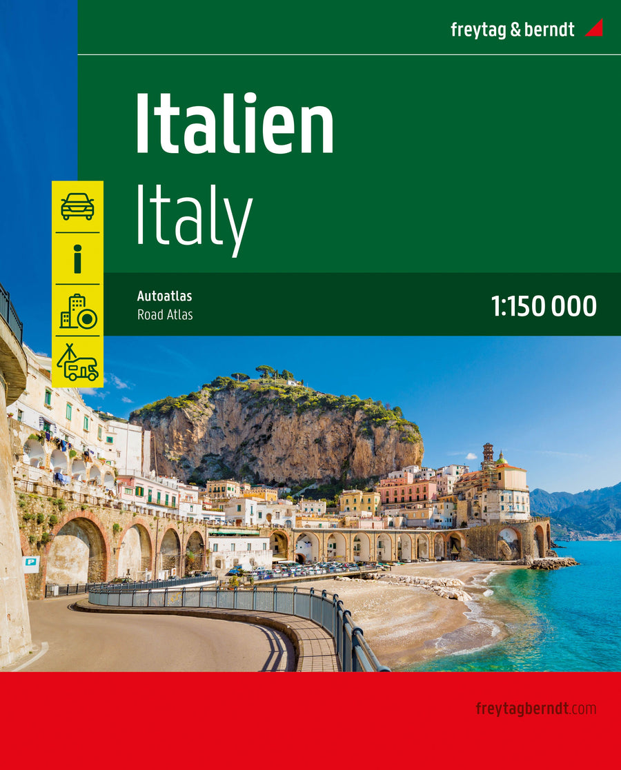
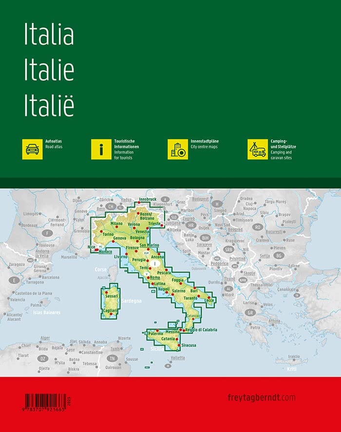
Atlas routier - Italie (à spirales) | Freytag & Berndt atlas Freytag & Berndt
Atlas routier - Italie (à spirales) - Édition 2023 | Freytag & Berndt atlas Freytag & Berndt
Road atlas - Italy (Spiral) | Freytag & Berndt
Freytag & Berndt
$40.00
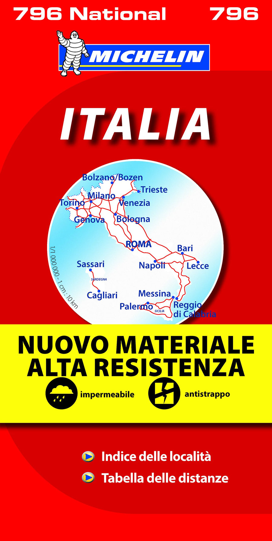
Carte routière n° 796 - Italie (résistante) | Michelin carte pliée Michelin
Road map # 796 - Italy (Resistant) | Michelin
Michelin
$12.00
New !
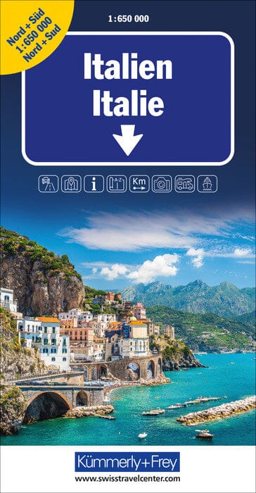
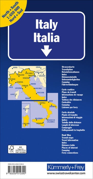
Carte routière - Italie | Kümmerly & Frey carte pliée Kümmerly & Frey
Road map - Italy | Kümmerly & Frey
Kümmerly & Frey
$14.00